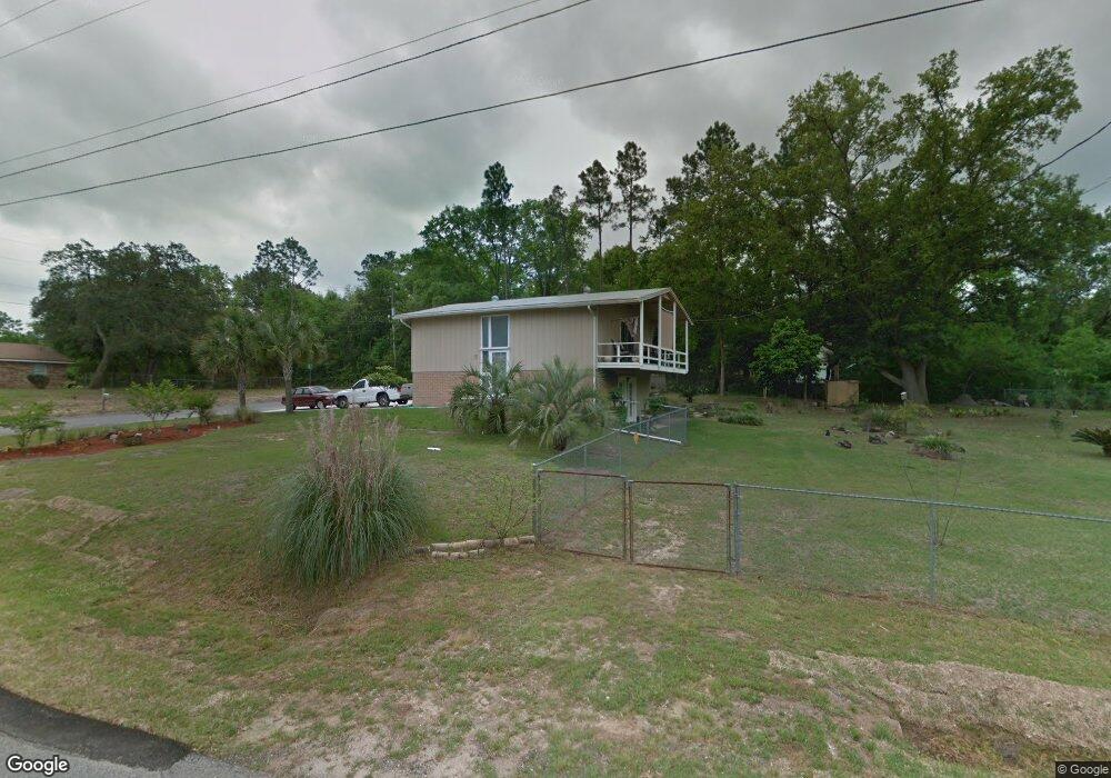
11101 Calvin St Pensacola, FL 32534
Estimated Value: $152,803 - $231,000
--
Bed
1
Bath
1,584
Sq Ft
$117/Sq Ft
Est. Value
About This Home
This home is located at 11101 Calvin St, Pensacola, FL 32534 and is currently estimated at $185,701, approximately $117 per square foot. 11101 Calvin St is a home located in Escambia County with nearby schools including L.D. McArthur Elementary School, Ransom Middle School, and J.M. Tate Senior High School.
Ownership History
Date
Name
Owned For
Owner Type
Purchase Details
Closed on
Sep 19, 2001
Sold by
Timberlake David W and Timberlake Sylvia G
Bought by
Timberlake David W and Timberlake Sylvia G
Current Estimated Value
Purchase Details
Closed on
Oct 27, 1995
Sold by
Jordan John H and Jordan Mary Gail
Bought by
Gregory Richard L and Gregory Christinia M
Home Financials for this Owner
Home Financials are based on the most recent Mortgage that was taken out on this home.
Original Mortgage
$70,040
Interest Rate
7.58%
Mortgage Type
VA
Create a Home Valuation Report for This Property
The Home Valuation Report is an in-depth analysis detailing your home's value as well as a comparison with similar homes in the area
Home Values in the Area
Average Home Value in this Area
Purchase History
| Date | Buyer | Sale Price | Title Company |
|---|---|---|---|
| Timberlake David W | -- | -- | |
| Gregory Richard L | $68,000 | -- |
Source: Public Records
Mortgage History
| Date | Status | Borrower | Loan Amount |
|---|---|---|---|
| Previous Owner | Gregory Richard L | $70,040 |
Source: Public Records
Tax History Compared to Growth
Tax History
| Year | Tax Paid | Tax Assessment Tax Assessment Total Assessment is a certain percentage of the fair market value that is determined by local assessors to be the total taxable value of land and additions on the property. | Land | Improvement |
|---|---|---|---|---|
| 2024 | $537 | $67,457 | -- | -- |
| 2023 | $537 | $65,493 | $0 | $0 |
| 2022 | $532 | $63,586 | $0 | $0 |
| 2021 | $538 | $61,734 | $0 | $0 |
| 2020 | $530 | $60,882 | $0 | $0 |
| 2019 | $526 | $59,514 | $0 | $0 |
| 2018 | $529 | $58,405 | $0 | $0 |
| 2017 | $531 | $57,204 | $0 | $0 |
| 2016 | $531 | $56,028 | $0 | $0 |
| 2015 | $513 | $55,954 | $0 | $0 |
| 2014 | $513 | $57,176 | $0 | $0 |
Source: Public Records
Map
Nearby Homes
- 433 Orby St
- 706 Crooked Oak Dr
- 735 Lexington Rd
- 960 Breezy Acres Rd
- 417 Childers St
- 381 Robinson Ln
- 760 Boulder Creek Dr
- 10610 Chemstrand Rd
- 800 Shadow Ridge Dr
- 1046 Fleming Dr
- 1048 Fleming Dr
- 11525 Chemstrand Rd
- 896 Lexington Rd
- 811 Shadow Ridge Dr
- 901 Shadow Ridge Dr
- 2298 Equestrian Way
- 525 Northcreek Dr
- 1390 Tara Dawn Ln
- 1633 Kinsale Dr
- 500 Northcreek Ct