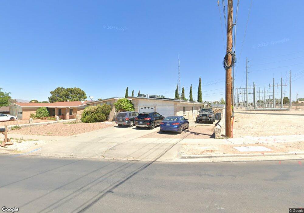
11101 Sam Snead Dr El Paso, TX 79936
Glen Cove NeighborhoodEstimated Value: $292,000 - $337,000
5
Beds
2
Baths
2,208
Sq Ft
$141/Sq Ft
Est. Value
About This Home
This home is located at 11101 Sam Snead Dr, El Paso, TX 79936 and is currently estimated at $311,853, approximately $141 per square foot. 11101 Sam Snead Dr is a home located in El Paso County with nearby schools including Glen Cove Elementary School, J.M. Hanks Middle School, and J M Hanks High School.
Ownership History
Date
Name
Owned For
Owner Type
Purchase Details
Closed on
Feb 7, 2024
Sold by
Kiraly Mary Leslie
Bought by
Kiraly Scott Alan
Current Estimated Value
Purchase Details
Closed on
Nov 18, 1997
Sold by
Johnson James S and Johnson Jamie L
Bought by
Kiraly Scott Alan and Kiraly Mary Leslie
Home Financials for this Owner
Home Financials are based on the most recent Mortgage that was taken out on this home.
Original Mortgage
$93,330
Interest Rate
7.23%
Mortgage Type
VA
Create a Home Valuation Report for This Property
The Home Valuation Report is an in-depth analysis detailing your home's value as well as a comparison with similar homes in the area
Home Values in the Area
Average Home Value in this Area
Purchase History
| Date | Buyer | Sale Price | Title Company |
|---|---|---|---|
| Kiraly Scott Alan | -- | None Listed On Document | |
| Kiraly Scott Alan | -- | -- |
Source: Public Records
Mortgage History
| Date | Status | Borrower | Loan Amount |
|---|---|---|---|
| Previous Owner | Kiraly Scott Alan | $93,330 |
Source: Public Records
Tax History Compared to Growth
Tax History
| Year | Tax Paid | Tax Assessment Tax Assessment Total Assessment is a certain percentage of the fair market value that is determined by local assessors to be the total taxable value of land and additions on the property. | Land | Improvement |
|---|---|---|---|---|
| 2025 | $3,995 | $250,874 | -- | -- |
| 2024 | $3,995 | $228,067 | -- | -- |
| 2023 | $3,823 | $207,334 | $0 | $0 |
| 2022 | $5,853 | $188,485 | $0 | $0 |
| 2021 | $5,570 | $192,569 | $33,001 | $159,568 |
| 2020 | $4,920 | $155,773 | $24,485 | $131,288 |
| 2018 | $4,810 | $154,666 | $24,485 | $130,181 |
| 2017 | $4,358 | $142,587 | $24,485 | $118,102 |
| 2016 | $4,358 | $142,587 | $24,485 | $118,102 |
| 2015 | $3,449 | $142,587 | $24,485 | $118,102 |
| 2014 | $3,449 | $143,304 | $24,485 | $118,819 |
Source: Public Records
Map
Nearby Homes
- 2308 Tom Watson Ct
- 2604 Anise Dr
- 11008 Johnny Miller Dr
- 2348 Sea Side Dr
- 11013 Bob Stone Dr
- 11016 Bob Stone Dr
- 11012 Bob Stone Dr
- 11132 Wharf Cove Dr
- 2825 Wong Place Unit A/D
- 2009 Bobby Jones Dr Unit B
- 1913 Seagull Dr
- 2001 Bobby Jones Dr Unit A
- 2820 Beachcomber Dr
- 2325 Ken Venturi Ln
- 11201 Skipper Dr
- 1868 Tom Bolt Dr
- 1901 Bobby Jones Dr
- 11276 Skipper Dr
- 1817 Hugh Royer Place
- 10916 Miller Barber Dr
- 11069 Sam Snead Dr
- 2304 Tom Watson Ct
- 11065 Sam Snead Dr
- 11100 Sam Snead Dr
- 2224 Lee Elder Dr
- 2229 Mermaid Dr
- 11064 Sam Snead Dr
- 2220 Lee Elder Dr
- 11055 Sam Snead Dr
- 2225 Mermaid Dr
- 2309 Tom Watson Ct
- 11104 Sea Foam Way
- 11100 Sea Foam Way
- 11060 Sam Snead Dr
- 11060 Sam Snead Dr Unit 1
- 2305 Tom Watson Ct
- 2216 Lee Elder Dr
- 11069 Johnny Miller Dr
- 2221 Mermaid Dr
- 11051 Sam Snead Dr