11104 Furlong Ct Upper Marlboro, MD 20772
Estimated Value: $819,926 - $886,000
--
Bed
1
Bath
3,647
Sq Ft
$237/Sq Ft
Est. Value
About This Home
This home is located at 11104 Furlong Ct, Upper Marlboro, MD 20772 and is currently estimated at $863,232, approximately $236 per square foot. 11104 Furlong Ct is a home located in Prince George's County with nearby schools including Barack Obama Elementary School, James Madison Middle School, and Dr. Henry A. Wise Jr. High School.
Ownership History
Date
Name
Owned For
Owner Type
Purchase Details
Closed on
Mar 13, 2018
Sold by
Toll Md V Limited Partnership
Bought by
Lamb Michael R and Lamb Jeanna L
Current Estimated Value
Home Financials for this Owner
Home Financials are based on the most recent Mortgage that was taken out on this home.
Original Mortgage
$538,077
Outstanding Balance
$460,743
Interest Rate
4.44%
Mortgage Type
New Conventional
Estimated Equity
$402,489
Create a Home Valuation Report for This Property
The Home Valuation Report is an in-depth analysis detailing your home's value as well as a comparison with similar homes in the area
Home Values in the Area
Average Home Value in this Area
Purchase History
| Date | Buyer | Sale Price | Title Company |
|---|---|---|---|
| Lamb Michael R | $597,863 | Westminster Title Agency |
Source: Public Records
Mortgage History
| Date | Status | Borrower | Loan Amount |
|---|---|---|---|
| Open | Lamb Michael R | $538,077 | |
| Closed | Lamb Michael R | $538,077 |
Source: Public Records
Tax History Compared to Growth
Tax History
| Year | Tax Paid | Tax Assessment Tax Assessment Total Assessment is a certain percentage of the fair market value that is determined by local assessors to be the total taxable value of land and additions on the property. | Land | Improvement |
|---|---|---|---|---|
| 2025 | $9,903 | $715,900 | $142,700 | $573,200 |
| 2024 | $9,903 | $680,933 | $0 | $0 |
| 2023 | $9,558 | $645,967 | $0 | $0 |
| 2022 | $9,102 | $611,000 | $152,700 | $458,300 |
| 2021 | $8,734 | $592,600 | $0 | $0 |
| 2020 | $8,596 | $574,200 | $0 | $0 |
| 2019 | $7,959 | $555,800 | $126,300 | $429,500 |
| 2018 | $7,964 | $551,500 | $0 | $0 |
| 2017 | $226 | $15,200 | $0 | $0 |
| 2016 | -- | $15,200 | $0 | $0 |
Source: Public Records
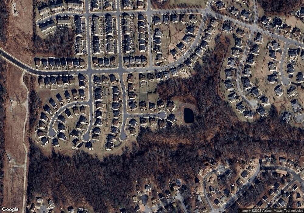
Map
Nearby Homes
- 4506 Cross Country Terrace
- 4504 Cross Country Terrace
- 4506 Grazing Way
- 4521 Thoroughbred Dr
- 4408 Thoroughbred Dr
- 11001 Flying Change Ct
- 4307 Lariat Dr
- 11007 Fillys Ford Crossing
- 4302 Bridle Ridge Rd
- 10815 Flying Change Ct
- 5005 Ashford Dr
- 4804 Bridle Ridge Rd
- 4235 Chariot Way
- 4902 Bridle Ridge Rd
- 4113 Yearling Ct
- 11508 Pegasus Ct
- 4204 Rolling Paddock Dr
- 4028 Ranch Rd
- 4006 Bridle Ridge Rd
- 3913 Rolling Paddock Dr
- 11102 Furlong Ct
- 11106 Furlong Ct
- 4606 Grazing Way
- 4604 Grazing Way
- 11108 Furlong Ct
- 11105 Furlong Ct
- 4600 Bridle Ridge Rd
- 11103 Furlong Ct
- 4602 Bridle Ridge Rd
- 4602 Grazing Way
- 11107 Furlong Ct
- 4520 Bridle Ridge Rd
- 11101 Furlong Ct
- 11109 Furlong Ct
- 4518 Bridle Ridge Rd
- 4600 Grazing Way
- 4612 Grazing Way
- 4605 Grazing Way
- 4607 Grazing Way
- 4516 Bridle Ridge Rd