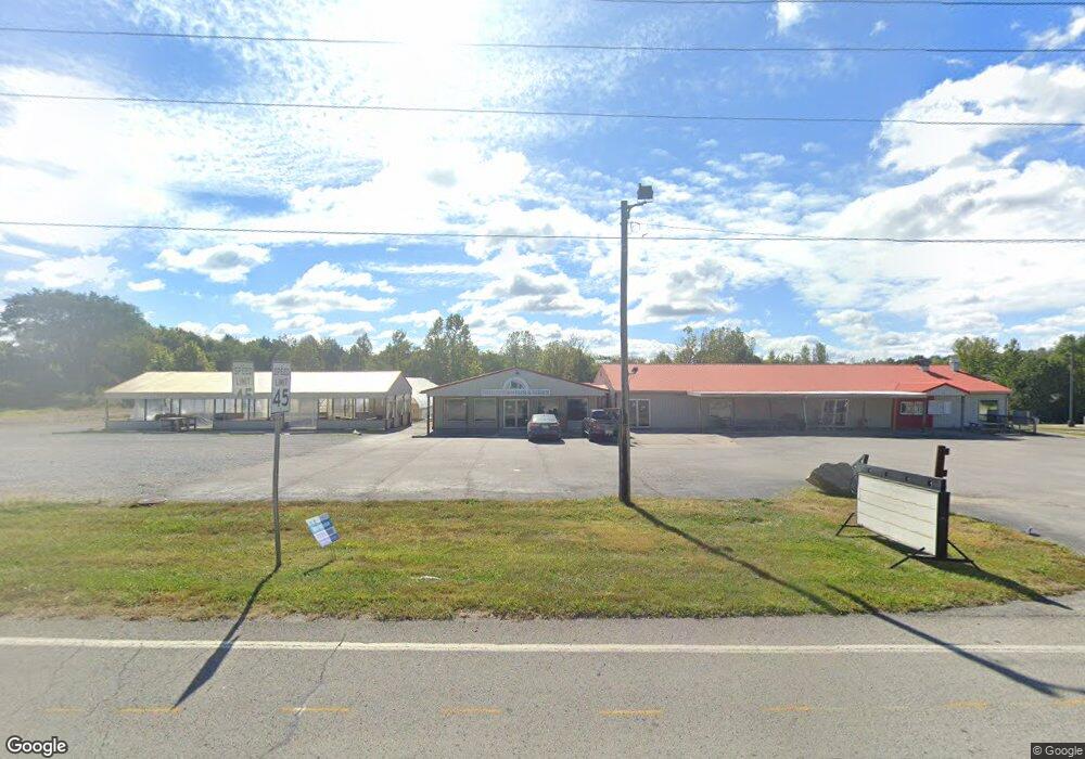
11106 Highway 62 Charlestown, IN 47111
Estimated Value: $269,000 - $792,000
3
Beds
2
Baths
11,400
Sq Ft
$52/Sq Ft
Est. Value
About This Home
This home is located at 11106 Highway 62, Charlestown, IN 47111 and is currently estimated at $591,826, approximately $51 per square foot. 11106 Highway 62 is a home located in Clark County with nearby schools including Pleasant Ridge Elementary School and Charlestown Senior High School.
Ownership History
Date
Name
Owned For
Owner Type
Purchase Details
Closed on
Dec 23, 2020
Sold by
Jones Christopher L and Jones Lisa G
Bought by
Sitting Bull Llc
Current Estimated Value
Create a Home Valuation Report for This Property
The Home Valuation Report is an in-depth analysis detailing your home's value as well as a comparison with similar homes in the area
Home Values in the Area
Average Home Value in this Area
Purchase History
| Date | Buyer | Sale Price | Title Company |
|---|---|---|---|
| Sitting Bull Llc | -- | None Available |
Source: Public Records
Tax History Compared to Growth
Tax History
| Year | Tax Paid | Tax Assessment Tax Assessment Total Assessment is a certain percentage of the fair market value that is determined by local assessors to be the total taxable value of land and additions on the property. | Land | Improvement |
|---|---|---|---|---|
| 2024 | $14,275 | $826,500 | $42,400 | $784,100 |
| 2023 | $14,173 | $847,000 | $42,400 | $804,600 |
| 2022 | $13,907 | $837,500 | $37,400 | $800,100 |
| 2021 | $10,317 | $749,800 | $35,800 | $714,000 |
| 2020 | $6,002 | $422,900 | $35,800 | $387,100 |
| 2019 | $5,673 | $425,000 | $35,800 | $389,200 |
| 2018 | $6,415 | $432,900 | $35,800 | $397,100 |
| 2017 | $5,459 | $429,000 | $35,800 | $393,200 |
| 2016 | $5,029 | $425,600 | $35,800 | $389,800 |
| 2014 | $5,200 | $431,900 | $35,800 | $396,100 |
| 2013 | -- | $432,100 | $35,800 | $396,300 |
Source: Public Records
Map
Nearby Homes
- 123 Level St
- 131 Level St
- 125 Level St
- 121 Level St
- 129 Level St
- 127 Level St
- 5577 Limestone Creek Dr
- 5544 Limestone Creek Dr
- 5501 Limestone Creek Dr
- 2036 Harmony Ln
- 2038 Harmony Ln
- 8102 Farming Way
- 532 Beechwood Dr
- 1440 Lindsey St
- 135 Spring St
- 1511 Tunnel Mill Rd
- 1515 Tunnel Mill Rd
- 3101 Atocha Cir
- 3105 Atocha Cir
- 3103 Atocha Cir
- 11106 Dean St
- 11110 Dean St
- 11111 Dean St
- 1270 High St
- 12437 Dean St
- 1280 High St
- 1262 High St
- 1348 High St
- 1252 High St
- 177 Level St
- 173 Level St
- 0 E Highway 62 Unit 201809969
- 0 Hwy 62 Unit 201809219
- 0 Highway 62 Unit 200907307
- 0 Highway 62 Unit 201001457
- 0 Hwy 62 Unit 201101095
- 0 Hwy 62 Unit 201201401
- 0 State Rd 62 - Lot 37 Unit 201502949
- 0 State Rd 62 - Lot 37 Unit 201600038
- 0 Highway 62 Unit 202207250