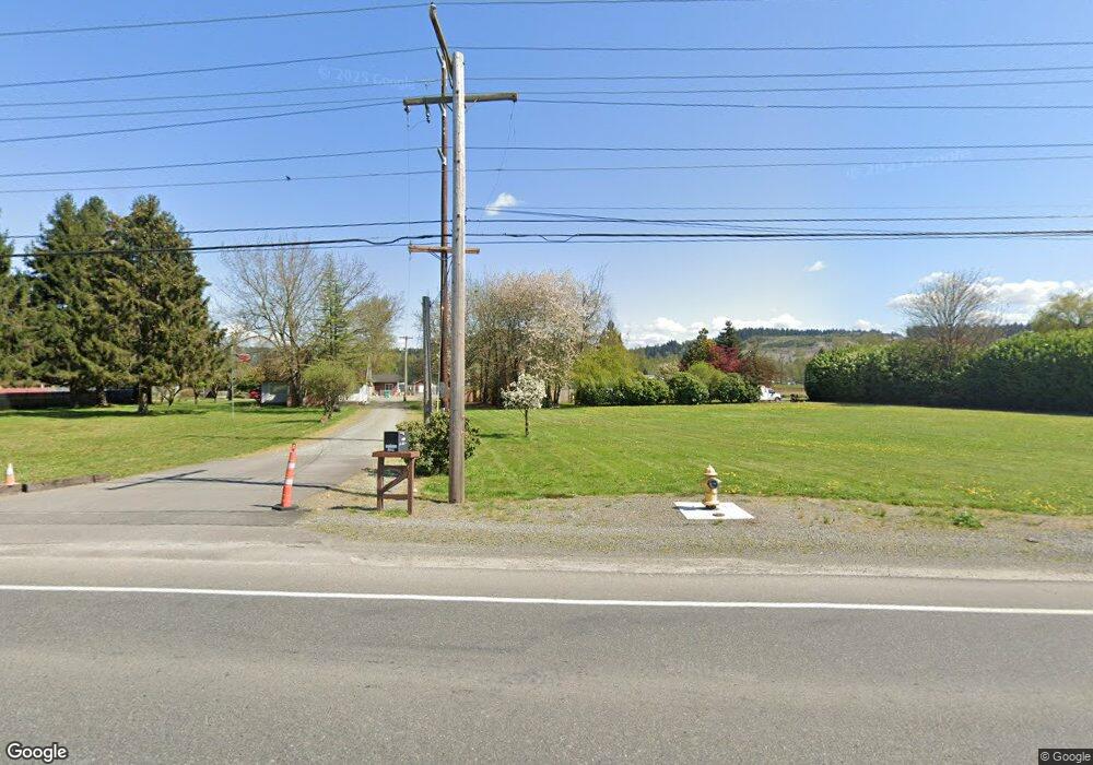
11107 To 11109 State Route 162 E Orting, WA 98360
Estimated Value: $855,000 - $1,088,000
4
Beds
1
Bath
1,840
Sq Ft
$528/Sq Ft
Est. Value
About This Home
This home is located at 11107 To 11109 State Route 162 E, Orting, WA 98360 and is currently estimated at $971,500, approximately $527 per square foot. 11107 To 11109 State Route 162 E is a home with nearby schools including Maple Lawn Elementary School, Sumner Middle School, and Sumner High School.
Ownership History
Date
Name
Owned For
Owner Type
Purchase Details
Closed on
Jan 31, 2001
Sold by
Arnott Joan E
Bought by
Knoblauch Robert W and Knoblauch Heidi B
Current Estimated Value
Home Financials for this Owner
Home Financials are based on the most recent Mortgage that was taken out on this home.
Original Mortgage
$370,000
Outstanding Balance
$134,149
Interest Rate
7.13%
Mortgage Type
Seller Take Back
Estimated Equity
$837,351
Create a Home Valuation Report for This Property
The Home Valuation Report is an in-depth analysis detailing your home's value as well as a comparison with similar homes in the area
Home Values in the Area
Average Home Value in this Area
Purchase History
| Date | Buyer | Sale Price | Title Company |
|---|---|---|---|
| Knoblauch Robert W | $380,000 | Chicago Title |
Source: Public Records
Mortgage History
| Date | Status | Borrower | Loan Amount |
|---|---|---|---|
| Open | Knoblauch Robert W | $370,000 |
Source: Public Records
Tax History Compared to Growth
Tax History
| Year | Tax Paid | Tax Assessment Tax Assessment Total Assessment is a certain percentage of the fair market value that is determined by local assessors to be the total taxable value of land and additions on the property. | Land | Improvement |
|---|---|---|---|---|
| 2025 | $8,770 | $851,300 | $553,600 | $297,700 |
| 2024 | $8,770 | $794,800 | $500,100 | $294,700 |
| 2023 | $8,770 | $739,800 | $450,900 | $288,900 |
| 2022 | $9,137 | $777,700 | $482,200 | $295,500 |
| 2021 | $8,279 | $556,800 | $318,100 | $238,700 |
| 2019 | $8,371 | $513,000 | $283,500 | $229,500 |
| 2018 | $27,402 | $491,700 | $272,400 | $219,300 |
| 2017 | $5,463 | $422,000 | $215,700 | $206,300 |
| 2016 | $4,385 | $228,810 | $107,410 | $121,400 |
| 2014 | $3,982 | $292,600 | $179,100 | $113,500 |
| 2013 | $3,982 | $258,400 | $157,100 | $101,300 |
Source: Public Records
Map
Nearby Homes
- 14720 115th Street Ct E
- 15026 106th St E
- 15002 116th St E
- 10304 150th Avenue Ct E
- 11618 Jennifer Ct E
- 13915 120th St E
- 13712 116th Street Ct E
- 0 166th Ave E
- 10106 128th St E
- 11421 133rd Ave E
- 12713 142nd Avenue Ct E Unit 4
- 10811 Rampart Dr E
- 3216 31st Ave SE
- 11720 130th Avenue Ct E
- 17106 116th St E
- 3501 27th St SE
- 2921 Forest Rim Ct S
- 2330 34th St SE
- 12430 136th Ave E
- 17051 126th St E Unit 200
- 11009 State Route 162 E
- 11205 State Route 162 E
- 11015 State Route 162 E
- 11002 State Route 162 E
- 11122 State Route 162 E
- 15012 109th St E
- 15118 109th St E
- 11303 State Route 162 E
- 13903 109th St E
- 10824 State Route 162 E
- 11401 150th Ave E
- 11303 149th Avenue Ct E
- 15206 109th St E
- 11308 149th Avenue Ct E
- 10820 Washington 162
- 10811 State Route 162 E
- 11114 State Route 162 E
- 11224 State Route 162 E
- 11210 State Route 162 E
- 11315 149th Avenue Ct E