11109 Highway 278 E Covington, GA 30014
Estimated Value: $301,579 - $370,000
--
Bed
2
Baths
1,908
Sq Ft
$172/Sq Ft
Est. Value
About This Home
This home is located at 11109 Highway 278 E, Covington, GA 30014 and is currently estimated at $328,145, approximately $171 per square foot. 11109 Highway 278 E is a home located in Newton County with nearby schools including Flint Hill Elementary School, Cousins Middle School, and Eastside High School.
Ownership History
Date
Name
Owned For
Owner Type
Purchase Details
Closed on
May 19, 2022
Sold by
Morgan John E
Bought by
J H Morgan Farms Limited Partnership
Current Estimated Value
Home Financials for this Owner
Home Financials are based on the most recent Mortgage that was taken out on this home.
Original Mortgage
$125,000
Interest Rate
4.67%
Mortgage Type
New Conventional
Purchase Details
Closed on
Jan 1, 2010
Sold by
Morgan Barbara D
Bought by
Morgan John E
Create a Home Valuation Report for This Property
The Home Valuation Report is an in-depth analysis detailing your home's value as well as a comparison with similar homes in the area
Home Values in the Area
Average Home Value in this Area
Purchase History
| Date | Buyer | Sale Price | Title Company |
|---|---|---|---|
| J H Morgan Farms Limited Partnership | $300,000 | -- | |
| Morgan John E | -- | -- |
Source: Public Records
Mortgage History
| Date | Status | Borrower | Loan Amount |
|---|---|---|---|
| Closed | J H Morgan Farms Limited Partnership | $125,000 |
Source: Public Records
Tax History Compared to Growth
Tax History
| Year | Tax Paid | Tax Assessment Tax Assessment Total Assessment is a certain percentage of the fair market value that is determined by local assessors to be the total taxable value of land and additions on the property. | Land | Improvement |
|---|---|---|---|---|
| 2024 | $2,555 | $100,880 | $2,320 | $98,560 |
| 2023 | $2,874 | $105,920 | $5,520 | $100,400 |
| 2022 | $1,736 | $67,840 | $4,640 | $63,200 |
| 2021 | $1,567 | $55,560 | $4,640 | $50,920 |
| 2020 | $1,361 | $44,400 | $4,480 | $39,920 |
| 2019 | $1,204 | $39,200 | $4,480 | $34,720 |
| 2018 | $502 | $33,120 | $4,480 | $28,640 |
| 2017 | $981 | $32,480 | $4,000 | $28,480 |
| 2016 | $981 | $32,480 | $4,000 | $28,480 |
| 2015 | $972 | $32,200 | $4,000 | $28,200 |
| 2014 | $883 | $29,640 | $0 | $0 |
Source: Public Records
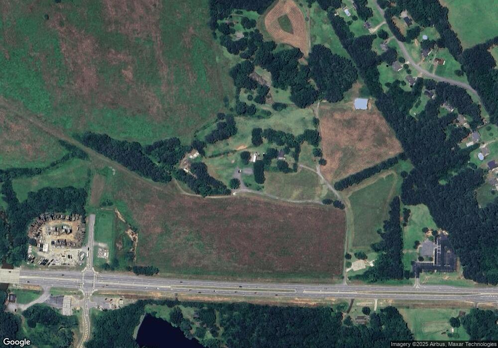
Map
Nearby Homes
- 115 Alcovy Cir
- 235 Alcovy Way
- 316 Elks Club Rd
- 595 Ridgeway Rd
- 45 Riverbend Dr
- 200 McGuirts Bridge Rd
- 45 Bridgemill Dr
- 13158 Greywolf Ln
- 680 Elk Ridge
- 690 Elk Ridge
- 694 Elk Ridge
- 698 Elk Ridge
- 13122 Greywolf Ln
- 125 Kay Cir
- 66 Dogwood Ln
- 65 Dogwood Ln
- 13592 Whitman Ln SE
- 13598 Whitman Ln SE
- 13586 Whitman SE
- Abigail Plan at Wildwood
- 11107 Highway 278 E
- 11101 Highway 278 E
- 11105 Highway 278 E
- 11026 Highway 278 E
- 145 Alcovy Crossing Dr
- 11134 Highway 278 E
- 135 Alcovy Crossing Dr
- 155 Alcovy Crossing Dr
- 125 Alcovy Crossing Dr
- 165 Alcovy Crossing Dr
- 115 Alcovy Crossing Dr
- 11103 Highway 278 E
- 6 Alcovy Crossing Dr
- 175 Alcovy Crossing Dr
- 105 Alcovy Crossing Dr
- 95 Alcovy Crossing Dr
- 130 Alcovy Crossing Dr
- 0 Elks Club Rd Unit 7051922
- 0 Elks Club Rd Unit 3151265
- 0 Elks Club Rd Unit 7501640