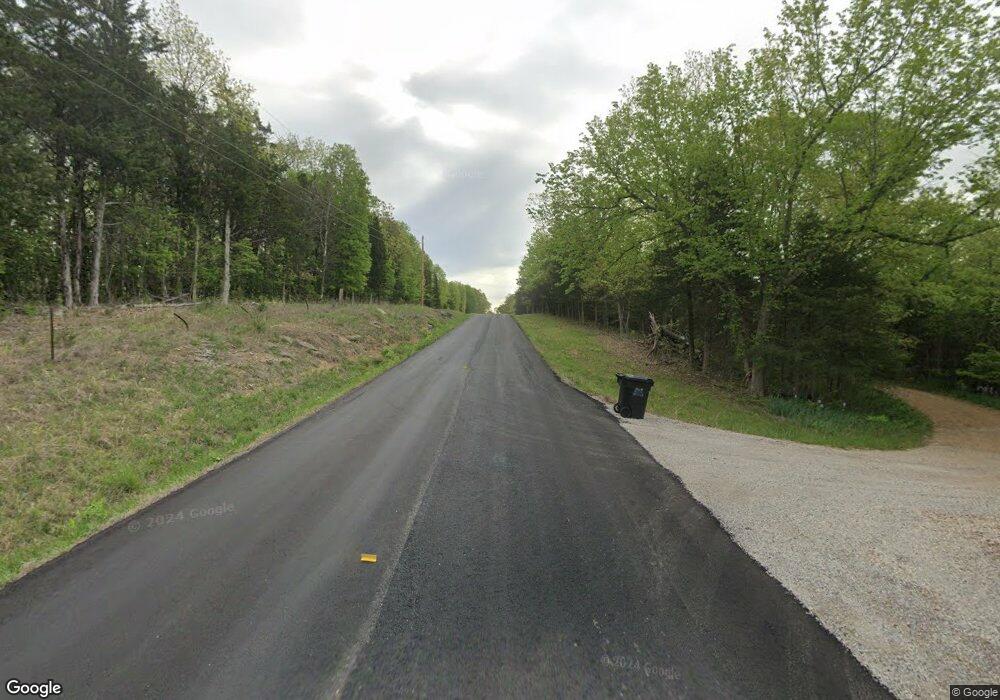
11109 Route N Centertown, MO 65023
Estimated Value: $123,000 - $319,000
2
Beds
2
Baths
1,184
Sq Ft
$164/Sq Ft
Est. Value
About This Home
This home is located at 11109 Route N, Centertown, MO 65023 and is currently estimated at $193,681, approximately $163 per square foot. 11109 Route N is a home located in Cole County with nearby schools including Jamestown C-I Elementary School, Jamestown C-1 High School, and California Christian Academy.
Ownership History
Date
Name
Owned For
Owner Type
Purchase Details
Closed on
May 29, 2020
Sold by
Crump Derek R and Crump Marissa K
Bought by
Fryer Craig
Current Estimated Value
Home Financials for this Owner
Home Financials are based on the most recent Mortgage that was taken out on this home.
Original Mortgage
$10,400
Interest Rate
3.2%
Mortgage Type
New Conventional
Create a Home Valuation Report for This Property
The Home Valuation Report is an in-depth analysis detailing your home's value as well as a comparison with similar homes in the area
Home Values in the Area
Average Home Value in this Area
Purchase History
| Date | Buyer | Sale Price | Title Company |
|---|---|---|---|
| Fryer Craig | -- | None Available |
Source: Public Records
Mortgage History
| Date | Status | Borrower | Loan Amount |
|---|---|---|---|
| Closed | Fryer Craig | $10,400 |
Source: Public Records
Tax History Compared to Growth
Tax History
| Year | Tax Paid | Tax Assessment Tax Assessment Total Assessment is a certain percentage of the fair market value that is determined by local assessors to be the total taxable value of land and additions on the property. | Land | Improvement |
|---|---|---|---|---|
| 2025 | $532 | $9,600 | $2,600 | $7,000 |
| 2024 | $532 | $9,600 | $2,600 | $7,000 |
| 2023 | $532 | $9,600 | $2,600 | $7,000 |
| 2022 | $533 | $9,600 | $2,600 | $7,000 |
| 2021 | $532 | $9,600 | $2,600 | $7,000 |
| 2020 | $510 | $9,614 | $2,641 | $6,973 |
| 2019 | $511 | $9,614 | $2,641 | $6,973 |
| 2018 | $505 | $10,811 | $2,641 | $8,170 |
| 2017 | $511 | $9,101 | $2,641 | $6,460 |
| 2016 | $508 | $9,101 | $2,641 | $6,460 |
| 2015 | $519 | $0 | $0 | $0 |
| 2014 | $519 | $9,101 | $2,641 | $6,460 |
Source: Public Records
Map
Nearby Homes
- 11328 Hunziker Rd
- 0
- 0 Route Nn
- 145 W Cedar Tree Ln
- TRACT B6 Pea Ridge Rd
- 2435 Pea Ridge Rd
- 0 4 + - Acres Rt Nn
- 0 State Route N
- 20200 S Jemerson Creek Rd
- LOT 3 E Cedar Tree Ln
- 1407 Conrad St
- 0 S 40 Acres M L Jemerson Creek Rd Unit 416447
- 6115 Napa Ridge Rd
- 18501 S Albert Rd
- 318 Murphy Ford Road (Land Only) Rd
- 1175 E Calvin Dr
- 3 Hwy M Hwy
- 30461 Oak Meadows Rd
- 16055 S J D Sapp Rd
- 1300 E Fox Hollow Rd
