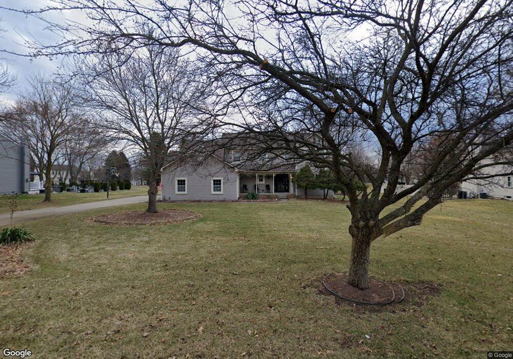
11109 Wild Turkey Run Unit Bldg-Unit South Lyon, MI 48178
Estimated Value: $519,000 - $535,000
4
Beds
3
Baths
2,403
Sq Ft
$218/Sq Ft
Est. Value
About This Home
This home is located at 11109 Wild Turkey Run Unit Bldg-Unit, South Lyon, MI 48178 and is currently estimated at $523,621, approximately $217 per square foot. 11109 Wild Turkey Run Unit Bldg-Unit is a home located in Livingston County with nearby schools including Hawkins Elementary School, Scranton Middle School, and Brighton High School.
Ownership History
Date
Name
Owned For
Owner Type
Purchase Details
Closed on
Jan 6, 2023
Sold by
Mcclure Caitlin Mahoney
Bought by
Mahoney Lois Schafer
Current Estimated Value
Purchase Details
Closed on
Jul 6, 2018
Sold by
Stage Gene A
Bought by
Mcclure Caitlin
Purchase Details
Closed on
Jun 28, 2018
Sold by
Stage Gene A
Bought by
Mcclure Caitlin
Purchase Details
Closed on
Nov 12, 2015
Sold by
Reichardt Stephen T and Reichardt Cinnamon L
Bought by
Stage Gene A
Home Financials for this Owner
Home Financials are based on the most recent Mortgage that was taken out on this home.
Original Mortgage
$193,000
Interest Rate
3.8%
Mortgage Type
New Conventional
Purchase Details
Closed on
Nov 1, 2002
Sold by
Kruszewski Michael S and Kruszewski Denise L
Bought by
Reichardt Stephen T and Reichardt Cinnamon L
Create a Home Valuation Report for This Property
The Home Valuation Report is an in-depth analysis detailing your home's value as well as a comparison with similar homes in the area
Home Values in the Area
Average Home Value in this Area
Purchase History
| Date | Buyer | Sale Price | Title Company |
|---|---|---|---|
| Mahoney Lois Schafer | -- | -- | |
| Mcclure Caitlin | $325,000 | None Listed On Document | |
| Mcclure Caitlin | $325,000 | None Listed On Document | |
| Stage Gene A | $289,900 | None Available | |
| Reichardt Stephen T | $275,000 | Metropolitan Title Co |
Source: Public Records
Mortgage History
| Date | Status | Borrower | Loan Amount |
|---|---|---|---|
| Previous Owner | Stage Gene A | $193,000 |
Source: Public Records
Tax History Compared to Growth
Tax History
| Year | Tax Paid | Tax Assessment Tax Assessment Total Assessment is a certain percentage of the fair market value that is determined by local assessors to be the total taxable value of land and additions on the property. | Land | Improvement |
|---|---|---|---|---|
| 2025 | $5,327 | $230,800 | $0 | $0 |
| 2024 | $2,299 | $195,800 | $0 | $0 |
| 2023 | $2,198 | $186,000 | $0 | $0 |
| 2022 | $4,513 | $157,500 | $0 | $0 |
| 2021 | $4,513 | $166,400 | $0 | $0 |
| 2020 | $4,448 | $159,400 | $0 | $0 |
| 2019 | $4,401 | $157,500 | $0 | $0 |
| 2018 | $4,130 | $156,400 | $0 | $0 |
| 2017 | $4,060 | $155,500 | $0 | $0 |
| 2016 | $4,076 | $142,600 | $0 | $0 |
| 2014 | $2,536 | $112,700 | $0 | $0 |
| 2012 | $2,536 | $99,400 | $0 | $0 |
Source: Public Records
Map
Nearby Homes
- 10820 Bouldercrest Dr
- 10403 Bouldercrest Dr
- 11433 Marshall Rd
- 10593 9 Mile Rd
- 10456 Oak Shore Dr
- 10537 Oak Forest Dr
- 10512 Oak Forest Dr
- 10468 Oak Shore Dr
- 10536 Oak Shore Dr
- 11346 E Shore Dr
- 10875 Charring Cross Cir
- 10320 Harpers Ferry Ct
- 10324 Greenwood Rd
- 10303 9 Mile Rd
- 11108 Wood Run Cir
- 11078 Wood Run Cir
- 10194 Elmcrest Rd
- 9550 Silverside
- 11045 Woodland Ridge Ct
- 11090 Stony River Ct
- 11109 Wild Turkey Run
- 11087 Wild Turkey Run
- 11131 Wild Turkey Run
- 11060 Sand Crane Way
- 11074 Sand Crane Way
- 11065 Wild Turkey Run
- 11046 Sand Crane Way
- 11153 Wild Turkey Run
- 11114 Wild Turkey Run
- 11136 Wild Turkey Run
- 11092 Wild Turkey Run
- 11032 Sand Crane Way
- 11088 Sand Crane Way
- 10742 Blue Heron Dr
- 11158 Wild Turkey Run
- 11175 Wild Turkey Run
- 11120 Sand Crane Way
- 11089 Mourning Dove Ln
- 11168 Sand Crane Way
- 10649 Swallowtail Ct