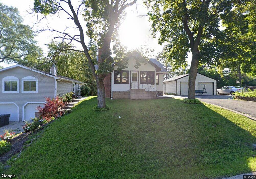
1111 Adams St Wauconda, IL 60084
Estimated Value: $118,000 - $364,000
Studio
--
Bath
--
Sq Ft
5,009
Sq Ft Lot
About This Home
This home is located at 1111 Adams St, Wauconda, IL 60084 and is currently estimated at $250,044. 1111 Adams St is a home located in Lake County with nearby schools including Wauconda Grade School, Wauconda Middle School, and Wauconda High School.
Ownership History
Date
Name
Owned For
Owner Type
Purchase Details
Closed on
Mar 29, 1994
Sold by
Mlynarski Walter and Mlynarski Lillian
Bought by
Yank Anthony J and Mcpherson Sheilagh M
Current Estimated Value
Home Financials for this Owner
Home Financials are based on the most recent Mortgage that was taken out on this home.
Original Mortgage
$94,000
Interest Rate
7.27%
Mortgage Type
Purchase Money Mortgage
Create a Home Valuation Report for This Property
The Home Valuation Report is an in-depth analysis detailing your home's value as well as a comparison with similar homes in the area
Home Values in the Area
Average Home Value in this Area
Purchase History
| Date | Buyer | Sale Price | Title Company |
|---|---|---|---|
| Yank Anthony J | $72,666 | Chicago Title Insurance Co |
Source: Public Records
Mortgage History
| Date | Status | Borrower | Loan Amount |
|---|---|---|---|
| Closed | Yank Anthony J | $94,000 |
Source: Public Records
Tax History
| Year | Tax Paid | Tax Assessment Tax Assessment Total Assessment is a certain percentage of the fair market value that is determined by local assessors to be the total taxable value of land and additions on the property. | Land | Improvement |
|---|---|---|---|---|
| 2024 | $1,146 | $12,762 | $8,674 | $4,088 |
| 2023 | $1,361 | $11,666 | $7,929 | $3,737 |
| 2022 | $1,361 | $12,476 | $8,857 | $3,619 |
| 2021 | $1,305 | $11,789 | $8,369 | $3,420 |
| 2020 | $1,268 | $11,237 | $7,977 | $3,260 |
| 2019 | $1,130 | $10,620 | $7,539 | $3,081 |
| 2018 | $1,287 | $11,188 | $8,937 | $2,251 |
| 2017 | $1,287 | $11,059 | $8,834 | $2,225 |
| 2016 | $1,214 | $10,473 | $8,366 | $2,107 |
| 2015 | $1,150 | $9,614 | $7,680 | $1,934 |
| 2014 | $850 | $7,318 | $4,120 | $3,198 |
| 2012 | $823 | $7,281 | $3,942 | $3,339 |
Source: Public Records
Map
Nearby Homes
- 1114 Jackson Ave
- 818 Sheridan Dr
- 0 Bonner Rd
- 518 Nancy Ct
- 28722 N Madison Ave
- 1017 Grand Blvd
- 1260 Water Stone Cir
- 905 Grand Blvd
- 701 Lake Shore Dr
- 28855 N Garland Rd
- 25817 W Cook St
- 29564 N Garland Rd
- 28331 W Main St
- 428 Country Lane Ct Unit 301
- 505 Woodland Ave
- 417 Lake Shore Blvd
- 159 Parkview Dr Unit 159
- 365 Lake Ave Unit C
- 902 Highland Ave
- 304 Hill St Unit 1004
Your Personal Tour Guide
Ask me questions while you tour the home.