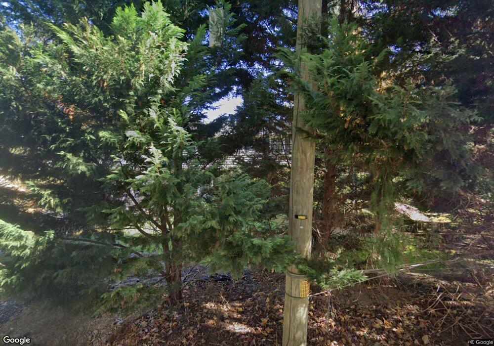
1111 Airport Rd West Chester, PA 19380
Estimated Value: $541,000 - $614,000
4
Beds
3
Baths
1,632
Sq Ft
$350/Sq Ft
Est. Value
About This Home
This home is located at 1111 Airport Rd, West Chester, PA 19380 and is currently estimated at $571,618, approximately $350 per square foot. 1111 Airport Rd is a home located in Chester County with nearby schools including Fern Hill Elementary School, J.R. Fugett Middle School, and West Chester East High School.
Ownership History
Date
Name
Owned For
Owner Type
Purchase Details
Closed on
Jul 2, 2004
Sold by
Newton Jeffrey F and Derham Newton Patricia R
Bought by
Charlesworth Donald L and Charlesworth Kirk M
Current Estimated Value
Home Financials for this Owner
Home Financials are based on the most recent Mortgage that was taken out on this home.
Original Mortgage
$162,000
Outstanding Balance
$81,091
Interest Rate
6.25%
Mortgage Type
Purchase Money Mortgage
Estimated Equity
$490,527
Create a Home Valuation Report for This Property
The Home Valuation Report is an in-depth analysis detailing your home's value as well as a comparison with similar homes in the area
Home Values in the Area
Average Home Value in this Area
Purchase History
| Date | Buyer | Sale Price | Title Company |
|---|---|---|---|
| Charlesworth Donald L | $284,900 | -- |
Source: Public Records
Mortgage History
| Date | Status | Borrower | Loan Amount |
|---|---|---|---|
| Open | Charlesworth Donald L | $162,000 |
Source: Public Records
Tax History Compared to Growth
Tax History
| Year | Tax Paid | Tax Assessment Tax Assessment Total Assessment is a certain percentage of the fair market value that is determined by local assessors to be the total taxable value of land and additions on the property. | Land | Improvement |
|---|---|---|---|---|
| 2025 | $5,119 | $176,580 | $35,260 | $141,320 |
| 2024 | $5,119 | $176,580 | $35,260 | $141,320 |
| 2023 | $5,119 | $176,580 | $35,260 | $141,320 |
| 2022 | $5,052 | $176,580 | $35,260 | $141,320 |
| 2021 | $4,982 | $176,580 | $35,260 | $141,320 |
| 2020 | $4,950 | $176,580 | $35,260 | $141,320 |
| 2019 | $4,881 | $176,580 | $35,260 | $141,320 |
| 2018 | $4,777 | $176,580 | $35,260 | $141,320 |
| 2017 | $4,674 | $176,580 | $35,260 | $141,320 |
| 2016 | $3,568 | $176,580 | $35,260 | $141,320 |
| 2015 | $3,568 | $166,060 | $35,250 | $130,810 |
| 2014 | $3,568 | $166,060 | $35,250 | $130,810 |
Source: Public Records
Map
Nearby Homes
- 1131 Nottingham Dr
- 1728 Yardley Dr
- 1713 Yardley Dr
- 1203 Karen Ln
- 1653 Yardley Ct
- 1206 Longford Rd Unit 51
- 1205 Killington Cir
- 1200 Waterford Rd
- 1577 Vassar Ct
- 975 Kennett Way
- 1352 Troon Ln
- 1415 Springton Ln
- 505 Eaton Way
- 1414 Morstein Rd
- 1302 Ashbridge Rd
- 107 Adrienne Ct
- 1467 Quaker Ridge
- 1708 Frost Ln
- Magnolia Plan at The Woodlands at Brandywine
- Savannah Plan at The Woodlands at Brandywine
- 1109 Airport Rd
- 1113 Airport Rd
- 1128 Nottingham Dr
- 1115 Airport Rd
- 1107 Airport Rd
- 1126 Nottingham Dr
- 1130 Nottingham Dr
- 1110 Airport Rd
- 1197 Evan Ct
- 1112 Airport Rd
- 1132 Nottingham Dr
- 1117 Airport Rd
- 1105 Airport Rd
- 1118 Airport Rd
- 1193 Evan Ct
- 1134 Nottingham Dr
- 1122 Nottingham Dr
- 1189 Evan Ct
- 1119 Airport Rd
- 1100 Airport Rd
