1111 Callahans Ridge Rd Greensboro, GA 30642
Estimated Value: $1,293,000 - $1,400,000
3
Beds
4
Baths
2,627
Sq Ft
$512/Sq Ft
Est. Value
About This Home
This home is located at 1111 Callahans Ridge Rd, Greensboro, GA 30642 and is currently estimated at $1,345,622, approximately $512 per square foot. 1111 Callahans Ridge Rd is a home located in Greene County with nearby schools including Greene County High School.
Ownership History
Date
Name
Owned For
Owner Type
Purchase Details
Closed on
Apr 28, 2006
Sold by
Lapointe Arthur L
Bought by
Nickel Paul A and Nickel Tara L
Current Estimated Value
Purchase Details
Closed on
Sep 9, 2003
Sold by
Linger Longer Dev Co
Bought by
Lapointe Arthur L and Lapointe Belinda
Purchase Details
Closed on
Dec 28, 2001
Sold by
Mitchell Robert C
Bought by
Linger Longer Dev Co
Purchase Details
Closed on
Sep 1, 2000
Sold by
Linger Longer Dev Co
Bought by
Mitchell Robert C
Purchase Details
Closed on
Jan 1, 1987
Bought by
Linger Longer Dev Co
Create a Home Valuation Report for This Property
The Home Valuation Report is an in-depth analysis detailing your home's value as well as a comparison with similar homes in the area
Home Values in the Area
Average Home Value in this Area
Purchase History
| Date | Buyer | Sale Price | Title Company |
|---|---|---|---|
| Nickel Paul A | $237,000 | -- | |
| Lapointe Arthur L | $180,000 | -- | |
| Linger Longer Dev Co | $247,500 | -- | |
| Mitchell Robert C | $225,000 | -- | |
| Linger Longer Dev Co | -- | -- |
Source: Public Records
Tax History Compared to Growth
Tax History
| Year | Tax Paid | Tax Assessment Tax Assessment Total Assessment is a certain percentage of the fair market value that is determined by local assessors to be the total taxable value of land and additions on the property. | Land | Improvement |
|---|---|---|---|---|
| 2024 | $6,709 | $443,560 | $62,000 | $381,560 |
| 2023 | $5,437 | $433,200 | $62,000 | $371,200 |
| 2022 | $5,966 | $323,760 | $22,000 | $301,760 |
| 2021 | $6,264 | $319,480 | $18,000 | $301,480 |
| 2020 | $5,168 | $236,920 | $28,800 | $208,120 |
| 2019 | $5,246 | $236,920 | $28,800 | $208,120 |
| 2018 | $5,224 | $236,920 | $28,800 | $208,120 |
| 2017 | $4,802 | $231,509 | $28,800 | $202,709 |
| 2016 | $4,847 | $233,666 | $28,800 | $204,866 |
| 2015 | $4,763 | $233,665 | $28,800 | $204,866 |
| 2014 | $4,953 | $236,890 | $57,600 | $179,290 |
Source: Public Records
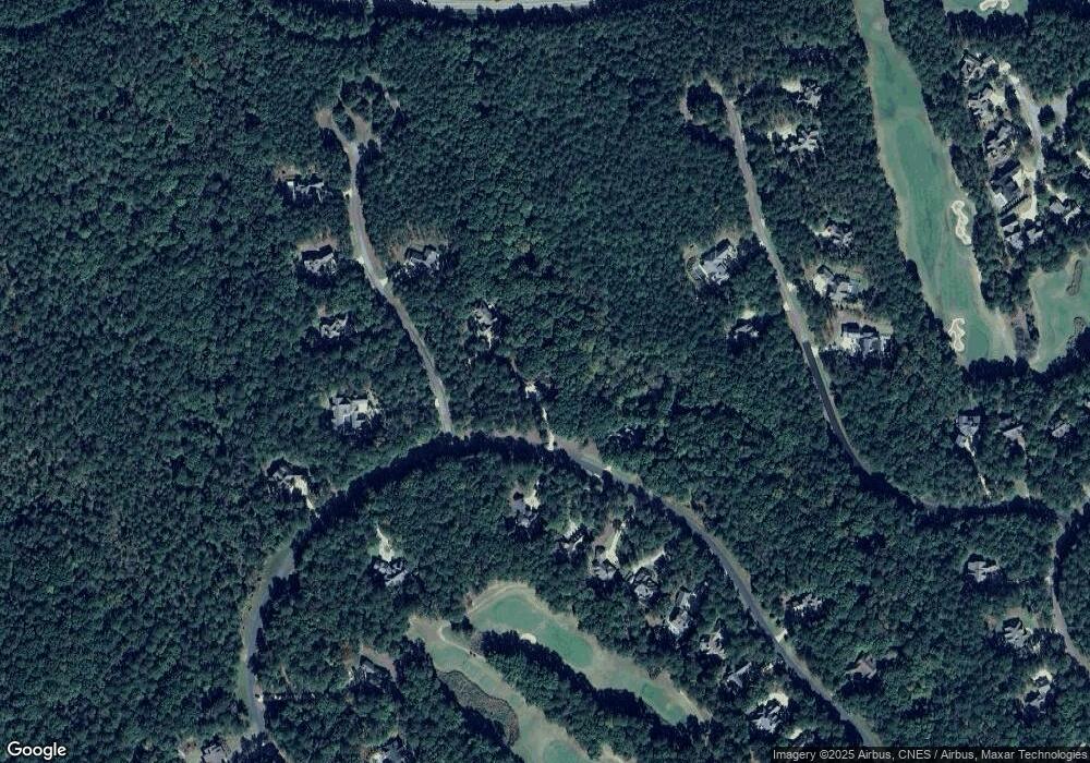
Map
Nearby Homes
- 1200 Callahan's Ridge Rd
- 1010 Callahans Ridge Rd
- 1010 Callahan's Ridge Rd
- 1200 Mill Creek
- 1261 Cedar Ridge Dr
- 1161 Shoulder Bone Cir
- 1181 Lockets Trail
- 1071 Creek Bluff
- 1021 Reynolds Pkwy
- 1041 Lockets Trail
- 1031 Lockets Trail
- 1030 Pearls Ct
- 1030 Tappans Place
- 1051 Armors Ford
- 1100 Bachelors Run
- 1070 Sallies View
- 1080 Sallies View
- 1290 Pine Grove Rd
- 1020 Homestead
- 1051 Swift Creek
- 1011 Salem Church Way
- 1101 Callahans Ridge Rd
- 1110 Callahans Ridge Rd Unit 11
- 1110 Callahans Ridge Rd
- 1110 Callahans Rd
- 0 Salem Church Way Unit 8245638
- 0 Salem Church Way Unit 8513879
- 0 Salem Church Way Unit 8816518
- 0 Salem Church Way Unit 7447329
- 0 Salem Church Way Unit 115
- Lot 110 Salem Church Way
- 1021 Salem Church Way
- 1100 Callahans Ridge Rd
- 1090 Callahan's Ridge Rd
- 1010 Salem Church Way Unit 115
- 1010 Salem Church Way
- 1081 Callahan's Ridge Rd
- 1050 Simmons Bridge
- 1060 Simmons Bridge Unit 40B
- 1060 Simmons Bridge