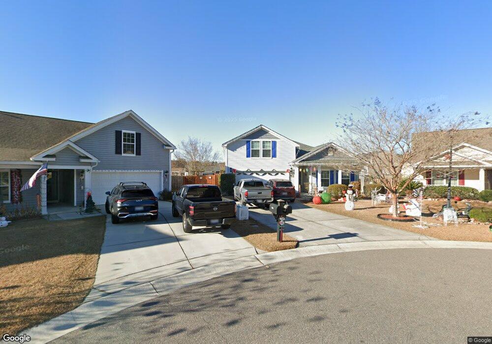
1111 Cates Ct Summerville, SC 29483
Estimated Value: $361,000 - $408,000
3
Beds
3
Baths
1,999
Sq Ft
$190/Sq Ft
Est. Value
About This Home
This home is located at 1111 Cates Ct, Summerville, SC 29483 and is currently estimated at $379,913, approximately $190 per square foot. 1111 Cates Ct is a home located in Dorchester County with nearby schools including Knightsville Elementary School, Charles B. DuBose Middle School, and Summerville High School.
Ownership History
Date
Name
Owned For
Owner Type
Purchase Details
Closed on
Jul 19, 2007
Sold by
The Ryland Group Inc
Bought by
Popelka Emil S and Popelka Phoebe D
Current Estimated Value
Home Financials for this Owner
Home Financials are based on the most recent Mortgage that was taken out on this home.
Original Mortgage
$201,925
Outstanding Balance
$126,342
Interest Rate
6.52%
Mortgage Type
Purchase Money Mortgage
Estimated Equity
$253,571
Purchase Details
Closed on
Mar 7, 2007
Sold by
Myers Mill Llc
Bought by
The Ryland Group Inc
Create a Home Valuation Report for This Property
The Home Valuation Report is an in-depth analysis detailing your home's value as well as a comparison with similar homes in the area
Home Values in the Area
Average Home Value in this Area
Purchase History
| Date | Buyer | Sale Price | Title Company |
|---|---|---|---|
| Popelka Emil S | $224,366 | Attorney | |
| The Ryland Group Inc | $414,408 | None Available |
Source: Public Records
Mortgage History
| Date | Status | Borrower | Loan Amount |
|---|---|---|---|
| Open | Popelka Emil S | $201,925 |
Source: Public Records
Tax History Compared to Growth
Tax History
| Year | Tax Paid | Tax Assessment Tax Assessment Total Assessment is a certain percentage of the fair market value that is determined by local assessors to be the total taxable value of land and additions on the property. | Land | Improvement |
|---|---|---|---|---|
| 2024 | $1,844 | $13,400 | $4,560 | $8,840 |
| 2023 | $1,844 | $8,929 | $1,800 | $7,129 |
| 2022 | $1,644 | $8,920 | $1,840 | $7,080 |
| 2021 | $1,644 | $8,920 | $1,840 | $7,080 |
| 2020 | $1,538 | $7,750 | $1,600 | $6,150 |
| 2019 | $1,489 | $7,750 | $1,600 | $6,150 |
| 2018 | $1,309 | $7,750 | $1,600 | $6,150 |
| 2017 | $1,301 | $7,750 | $1,600 | $6,150 |
| 2016 | $1,287 | $7,750 | $1,600 | $6,150 |
| 2015 | $1,283 | $7,750 | $1,600 | $6,150 |
| 2014 | $1,313 | $204,800 | $0 | $0 |
| 2013 | -- | $8,190 | $0 | $0 |
Source: Public Records
Map
Nearby Homes
- 4021 Sanderson Ln
- 10001 Begovich Ct
- 5021 Blair Rd
- 120 Greenhill Pastures
- 990 Augustine Ct
- 1956 Central Ave
- 1960 Central Ave
- 110 Barton Ln
- 1036 Whitlow Blvd
- 1964 Central Ave
- 000 Central Ave
- 385 Embassy Dr
- 1745 Central Ave
- 2005 Isabela Ct
- Sumter Plan at Central Estates
- Ludington Plan at Central Estates
- Morgan Plan at Central Estates
- Brewster Plan at Central Estates
- Putnam Plan at Central Estates
- Mercer Plan at Central Estates