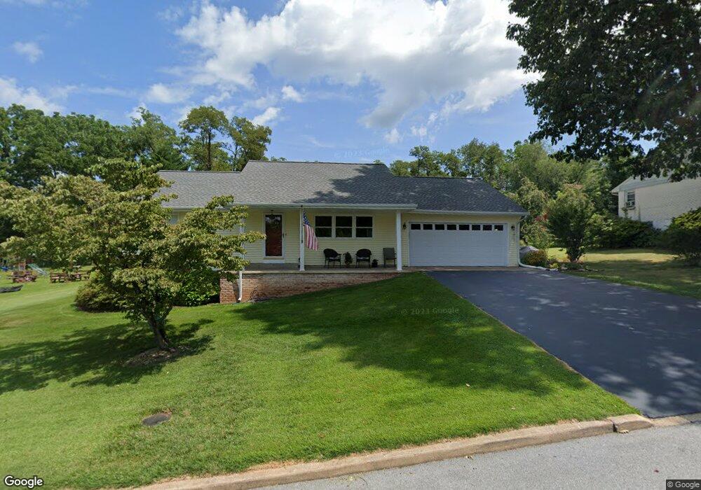
1111 Dartmouth Rd Hummelstown, PA 17036
Estimated Value: $209,000 - $274,000
3
Beds
1
Bath
1,260
Sq Ft
$189/Sq Ft
Est. Value
About This Home
This home is located at 1111 Dartmouth Rd, Hummelstown, PA 17036 and is currently estimated at $237,827, approximately $188 per square foot. 1111 Dartmouth Rd is a home with nearby schools including Hershey Elementary School, Hershey Primary Elementary School, and Hershey Middle School.
Ownership History
Date
Name
Owned For
Owner Type
Purchase Details
Closed on
Jan 29, 2025
Sold by
Burd Dennis L and Burd Karin M
Bought by
Meyers Jeffrey E and Meyers Samantha M
Current Estimated Value
Create a Home Valuation Report for This Property
The Home Valuation Report is an in-depth analysis detailing your home's value as well as a comparison with similar homes in the area
Home Values in the Area
Average Home Value in this Area
Purchase History
| Date | Buyer | Sale Price | Title Company |
|---|---|---|---|
| Meyers Jeffrey E | $210,000 | None Listed On Document |
Source: Public Records
Tax History Compared to Growth
Tax History
| Year | Tax Paid | Tax Assessment Tax Assessment Total Assessment is a certain percentage of the fair market value that is determined by local assessors to be the total taxable value of land and additions on the property. | Land | Improvement |
|---|---|---|---|---|
| 2025 | $3,082 | $98,600 | $42,600 | $56,000 |
| 2024 | $2,896 | $98,600 | $42,600 | $56,000 |
| 2023 | $2,845 | $98,600 | $42,600 | $56,000 |
| 2022 | $2,782 | $98,600 | $42,600 | $56,000 |
| 2021 | $2,782 | $98,600 | $42,600 | $56,000 |
| 2020 | $2,782 | $98,600 | $42,600 | $56,000 |
| 2019 | $2,731 | $98,600 | $42,600 | $56,000 |
| 2018 | $2,659 | $98,600 | $42,600 | $56,000 |
| 2017 | $2,659 | $98,600 | $42,600 | $56,000 |
| 2016 | $0 | $98,600 | $42,600 | $56,000 |
| 2015 | -- | $98,600 | $42,600 | $56,000 |
| 2014 | -- | $98,600 | $42,600 | $56,000 |
Source: Public Records
Map
Nearby Homes
- 2042 Locust Ln
- 2017B Raleigh Rd
- 2059B Raleigh Rd Unit B
- 0 W Kaylor Rd
- 994 Clifton Heights Rd
- 1919 Limestone Dr
- 1412 Kaylor Rd
- 1565 Brookline Dr
- 1609 Spring Hill Dr
- 497 Middletown Rd
- 1421 Jill Dr
- 610 Carrington Ct
- 589 Lovell Ct
- 1015 Waltonville Rd
- 1382 Fox Glenn Dr
- 1243 Peggy Dr
- 177 Middletown Rd
- 285 Dogwood Dr
- 257 Willow St
- 115 Magnolia Dr
- 113 Dartmouth Rd
- 1023 Princeton Dr
- 1027 Princeton Dr
- 1019 Princeton Dr
- 1031 Princeton Dr
- 1015 Princeton Dr
- 1117 Dartmouth Rd
- 1020 Princeton Dr
- 1011 Princeton Dr
- 1030 Princeton Dr
- 1035 Princeton Dr
- 1014 Princeton Dr
- 1123 Cornell Dr
- 1007 Princeton Dr
- 1042 Princeton Dr
- 1039 Princeton Dr
- 1122 Cornell Dr
- 1119 Dartmouth Rd
- 1133 Cornell Dr
- 1046 Princeton Dr