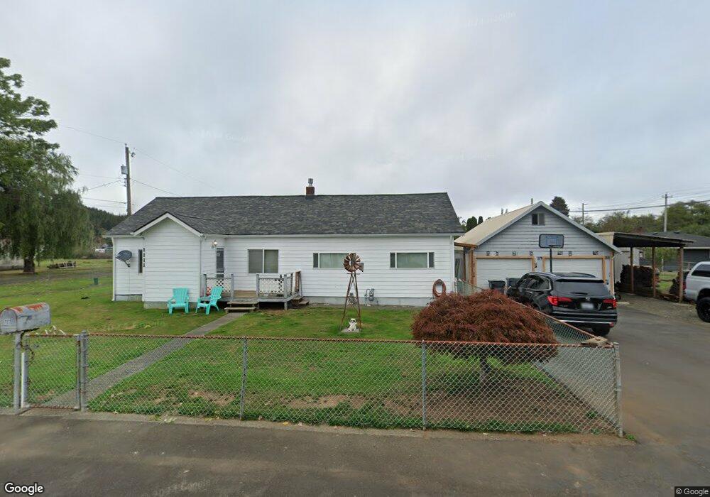
1111 Dover St Hoquiam, WA 98550
Estimated Value: $163,000 - $250,378
2
Beds
1
Bath
1,296
Sq Ft
$172/Sq Ft
Est. Value
About This Home
This home is located at 1111 Dover St, Hoquiam, WA 98550 and is currently estimated at $223,095, approximately $172 per square foot. 1111 Dover St is a home located in Grays Harbor County with nearby schools including Lincoln Elementary School, Emerson Elementary School, and Central Elementary School.
Ownership History
Date
Name
Owned For
Owner Type
Purchase Details
Closed on
Mar 6, 2013
Sold by
Loomis Gary L and Lachiando Michel M L
Bought by
Scherff Angie M
Current Estimated Value
Purchase Details
Closed on
Mar 1, 2013
Sold by
Loomis Gary L
Bought by
Scherff Angie M
Purchase Details
Closed on
Feb 27, 2013
Sold by
Winter Raymond Allen
Bought by
Scherff Angie M
Create a Home Valuation Report for This Property
The Home Valuation Report is an in-depth analysis detailing your home's value as well as a comparison with similar homes in the area
Home Values in the Area
Average Home Value in this Area
Purchase History
| Date | Buyer | Sale Price | Title Company |
|---|---|---|---|
| Scherff Angie M | $10,000 | None Available | |
| Scherff Angie M | $10,000 | None Available | |
| Scherff Angie M | $30,000 | None Available | |
| Scherff Angie M | -- | None Available | |
| Loomis Gary L | -- | None Available | |
| Loomis Gary L | -- | None Available | |
| Winter Raymond Allen | -- | None Available |
Source: Public Records
Tax History Compared to Growth
Tax History
| Year | Tax Paid | Tax Assessment Tax Assessment Total Assessment is a certain percentage of the fair market value that is determined by local assessors to be the total taxable value of land and additions on the property. | Land | Improvement |
|---|---|---|---|---|
| 2025 | $2,225 | $236,124 | $30,633 | $205,491 |
| 2023 | $2,530 | $197,135 | $36,039 | $161,096 |
| 2022 | $2,272 | $178,801 | $23,270 | $155,531 |
| 2021 | $1,998 | $178,801 | $23,270 | $155,531 |
| 2020 | $1,773 | $147,695 | $23,270 | $124,425 |
| 2019 | $1,462 | $126,958 | $23,270 | $103,688 |
| 2018 | $1,469 | $109,676 | $23,270 | $86,406 |
| 2017 | $1,400 | $92,395 | $23,270 | $69,125 |
| 2016 | $1,369 | $92,395 | $23,270 | $69,125 |
| 2014 | -- | $90,935 | $23,270 | $67,665 |
| 2013 | -- | $88,465 | $23,270 | $65,195 |
Source: Public Records
Map
Nearby Homes
- 2220 Panama Ave
- 2025 Panama Ave
- 0 Off of Panhandle Rd
- 11111 Panhandle Rd
- 2010 Broadway Ave Unit 38
- 2010 Broadway Ave Unit 9
- 2010 Broadway Ave Unit 41
- 1900 Broadway Ave Unit 59
- 1900 Broadway Ave Unit 2
- 1111 Division St
- 1010 Division St
- 3108 Sanderling Dr
- 3261 Sanderling Dr
- 0 NKA Highway 101
- 909 Wood Ave
- 1213 Lincoln St
- 1309 Marion St
- 0 Cosgrove St Unit NWM2403284
- 1020 Rayonier Ave
- 723 Broadway Ave
- 2201 Broadway Ave
- 2215 Broadway Ave
- 2132 Panama Ave
- 2211 Panama Ave
- 2211 Panama Ave
- 2133 Broadway Ave
- 2219 Panama Ave
- 2131 Panama Ave
- 2122 Panama Ave
- 2127 Broadway Ave
- 2229 Broadway Ave
- 2121 Panama Ave
- 2123 Broadway Ave
- 2114 Panama Ave
- 2115 Broadway Ave
- 2115 Panama Ave
- 2106 Panama Ave
- 2107 Panama Ave
- 2305 Broadway Ave
- 2102 Panama Ave