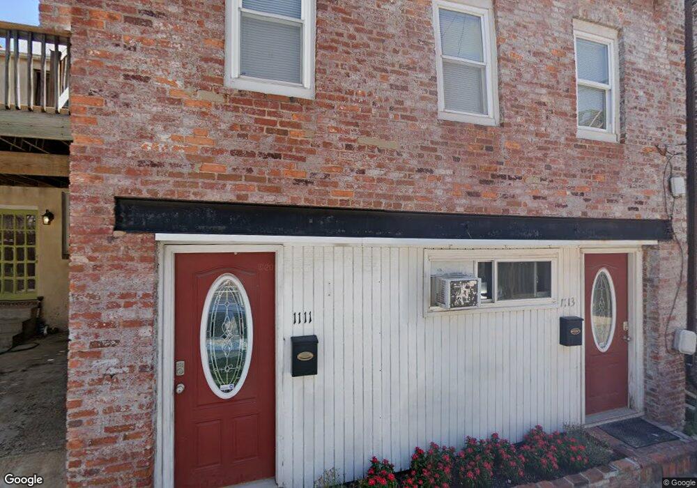
1111 Durst St Baltimore, MD 21230
Riverside NeighborhoodEstimated Value: $170,000 - $182,510
Studio
1
Bath
768
Sq Ft
$229/Sq Ft
Est. Value
About This Home
This home is located at 1111 Durst St, Baltimore, MD 21230 and is currently estimated at $176,255, approximately $229 per square foot. 1111 Durst St is a home located in Baltimore City with nearby schools including Federal Hill Preparatory School, Booker T. Washington Middle School, and Digital Harbor High School.
Ownership History
Date
Name
Owned For
Owner Type
Purchase Details
Closed on
Feb 2, 2005
Sold by
Lynch Charles A
Bought by
Clark David
Current Estimated Value
Purchase Details
Closed on
Jan 7, 2004
Sold by
Lynch Charles A
Bought by
Clark David
Purchase Details
Closed on
Aug 22, 2002
Sold by
Neary Doris
Bought by
Lynch Charles A
Create a Home Valuation Report for This Property
The Home Valuation Report is an in-depth analysis detailing your home's value as well as a comparison with similar homes in the area
Home Values in the Area
Average Home Value in this Area
Purchase History
| Date | Buyer | Sale Price | Title Company |
|---|---|---|---|
| Clark David | $90,000 | -- | |
| Clark David | $90,000 | -- | |
| Lynch Charles A | -- | -- |
Source: Public Records
Tax History
| Year | Tax Paid | Tax Assessment Tax Assessment Total Assessment is a certain percentage of the fair market value that is determined by local assessors to be the total taxable value of land and additions on the property. | Land | Improvement |
|---|---|---|---|---|
| 2025 | $3,507 | $155,967 | -- | -- |
| 2024 | $3,507 | $149,333 | -- | -- |
| 2023 | $3,352 | $142,700 | $80,000 | $62,700 |
| 2022 | $3,368 | $142,700 | $80,000 | $62,700 |
| 2021 | $3,368 | $142,700 | $80,000 | $62,700 |
| 2020 | $3,663 | $155,200 | $80,000 | $75,200 |
| 2019 | $3,645 | $155,200 | $80,000 | $75,200 |
| 2018 | $3,663 | $155,200 | $80,000 | $75,200 |
| 2017 | $3,710 | $157,200 | $0 | $0 |
| 2016 | -- | $157,200 | $0 | $0 |
| 2015 | $4,224 | $157,200 | $0 | $0 |
| 2014 | $4,224 | $159,400 | $0 | $0 |
Source: Public Records
Map
Nearby Homes
- 213 Grindall St
- 413 Grindall St
- 418 E Cross St
- 1134 Battery Ave
- 437 Grindall St
- 337 E Hamburg St
- 444 Grindall St
- 409 Warren Ave
- 109 E West St
- 828 William St
- 809 William St
- 1264 Riverside Ave
- 1211 Light St Unit 410
- 1211 Light St Unit 103
- 827 Light St
- 1271 Battery Ave
- 1220 Harbor Island Walk
- 132 E Gittings St
- 23 Pierside Dr Unit 118
- 23 Pierside Dr Unit 326
- 1115 Durst St
- 1119 Durst St
- 1112 Battery Ave
- 1110 Battery Ave
- 1106 Battery Ave
- 1114 Battery Ave
- 1116 Battery Ave
- 1121 Durst St
- 1104 Battery Ave
- 1118 Battery Ave
- 1102 Battery Ave
- 1120 Battery Ave
- 1122 Battery Ave
- 1123 Durst St
- 1113 William St
- 1111 William St
- 1109 William St
- 1124 Battery Ave
- 1107 William St
- 1100 Battery Ave
Your Personal Tour Guide
Ask me questions while you tour the home.