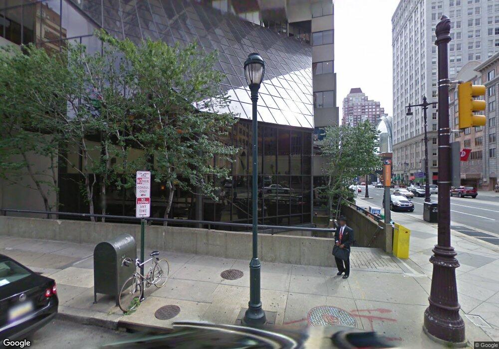
1111 Manning St Philadelphia, PA 19107
Washington Square West NeighborhoodEstimated Value: $995,823 - $1,148,000
2
Beds
2
Baths
2,400
Sq Ft
$447/Sq Ft
Est. Value
About This Home
This home is located at 1111 Manning St, Philadelphia, PA 19107 and is currently estimated at $1,072,456, approximately $446 per square foot. 1111 Manning St is a home located in Philadelphia County with nearby schools including General George A McCall Public School, Benjamin Franklin High School, and Independence Charter School.
Ownership History
Date
Name
Owned For
Owner Type
Purchase Details
Closed on
Mar 19, 2004
Sold by
Sweeney Michael T and Betts Stephen R
Bought by
Sweeney Michael T
Current Estimated Value
Purchase Details
Closed on
Feb 11, 2002
Sold by
Conard Gianne
Bought by
Sweeney Michael T and Betts Stephen R
Home Financials for this Owner
Home Financials are based on the most recent Mortgage that was taken out on this home.
Original Mortgage
$300,000
Outstanding Balance
$123,608
Interest Rate
7.01%
Estimated Equity
$948,848
Create a Home Valuation Report for This Property
The Home Valuation Report is an in-depth analysis detailing your home's value as well as a comparison with similar homes in the area
Home Values in the Area
Average Home Value in this Area
Purchase History
| Date | Buyer | Sale Price | Title Company |
|---|---|---|---|
| Sweeney Michael T | $25,000 | -- | |
| Sweeney Michael T | $410,000 | Fidelity National Title Ins |
Source: Public Records
Mortgage History
| Date | Status | Borrower | Loan Amount |
|---|---|---|---|
| Open | Sweeney Michael T | $300,000 | |
| Closed | Sweeney Michael T | $89,500 |
Source: Public Records
Tax History Compared to Growth
Tax History
| Year | Tax Paid | Tax Assessment Tax Assessment Total Assessment is a certain percentage of the fair market value that is determined by local assessors to be the total taxable value of land and additions on the property. | Land | Improvement |
|---|---|---|---|---|
| 2025 | $11,581 | $945,100 | $189,020 | $756,080 |
| 2024 | $11,581 | $945,100 | $189,020 | $756,080 |
| 2023 | $11,581 | $827,300 | $165,400 | $661,900 |
| 2022 | $9,852 | $782,300 | $165,400 | $616,900 |
| 2021 | $10,482 | $0 | $0 | $0 |
| 2020 | $12,150 | $0 | $0 | $0 |
| 2019 | $13,774 | $0 | $0 | $0 |
| 2018 | $6,705 | $0 | $0 | $0 |
| 2017 | $7,125 | $0 | $0 | $0 |
| 2016 | $6,705 | $0 | $0 | $0 |
| 2015 | $5,053 | $0 | $0 | $0 |
| 2014 | -- | $509,000 | $73,526 | $435,474 |
| 2012 | -- | $71,008 | $10,025 | $60,983 |
Source: Public Records
Map
Nearby Homes
- 1205 Spruce St Unit 2
- 1205 Spruce St Unit 4
- 222 S Quince St
- 1105 Latimer St
- 1215 Spruce St Unit 301
- 1108 Locust St
- 1111 Spruce St Unit 100
- 1106 Cypress St
- 1111 Locust St Unit 4D
- 1101 Locust St Unit 10D
- 1101 Locust St Unit 4E
- 1101 Locust St Unit 4L
- 1101 Locust St Unit 8K
- 1101 Locust St Unit 8B
- 1101 Locust St Unit 4C
- 1033 Spruce St Unit 200
- 1029 33 Spruce St Unit 200
- 1029 33 Spruce St Unit 304
- 321 S Fawn St
- 1034 Spruce St Unit 402
- 1113 Manning St
- 251 S 12th St Unit 3
- 251 S 12th St Unit 2
- 251 S 12th St Unit 1
- 251 S 12th St
- 1110-12 Manning St
- 1110 Manning St Unit 12
- 1108 Manning St
- 249 S 12th St
- 223 S Sartain St
- 247 S 12th St
- 1106 Manning St
- 221 S Sartain St
- 212 S Sartain St
- 225 S Sartain St
- 219 S Sartain St
- 1102 Manning St Unit 4
- 1102 Manning St Unit 2
- 1102 Manning St Unit FLOOR 1
- 215 S Sartain St
