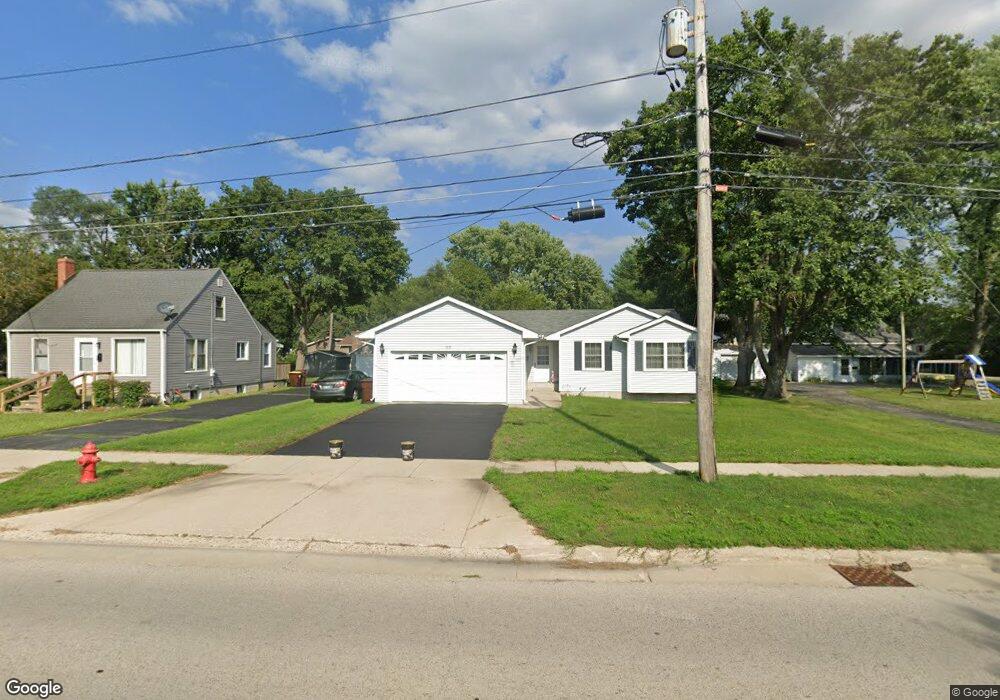
1111 N State St Marengo, IL 60152
Estimated Value: $245,183 - $300,000
--
Bed
--
Bath
--
Sq Ft
8,843
Sq Ft Lot
About This Home
This home is located at 1111 N State St, Marengo, IL 60152 and is currently estimated at $268,546. 1111 N State St is a home located in McHenry County with nearby schools including Locust Elementary School, Marengo Community Middle School, and Marengo Community High School.
Ownership History
Date
Name
Owned For
Owner Type
Purchase Details
Closed on
Mar 30, 1995
Sold by
Schwarz Eldon and Schwarz Barbara
Bought by
Engel Edward P and Rhodes Eileen J
Current Estimated Value
Home Financials for this Owner
Home Financials are based on the most recent Mortgage that was taken out on this home.
Original Mortgage
$105,000
Interest Rate
8.91%
Purchase Details
Closed on
Jun 20, 1994
Sold by
Leslie John M
Bought by
Schwarz Eldon and Schwarz Barbara
Home Financials for this Owner
Home Financials are based on the most recent Mortgage that was taken out on this home.
Original Mortgage
$29,000
Interest Rate
8.78%
Create a Home Valuation Report for This Property
The Home Valuation Report is an in-depth analysis detailing your home's value as well as a comparison with similar homes in the area
Home Values in the Area
Average Home Value in this Area
Purchase History
| Date | Buyer | Sale Price | Title Company |
|---|---|---|---|
| Engel Edward P | $120,000 | Chicago Title | |
| Schwarz Eldon | $29,500 | Chicago Title |
Source: Public Records
Mortgage History
| Date | Status | Borrower | Loan Amount |
|---|---|---|---|
| Closed | Engel Edward P | $105,000 | |
| Previous Owner | Schwarz Eldon | $29,000 |
Source: Public Records
Tax History Compared to Growth
Tax History
| Year | Tax Paid | Tax Assessment Tax Assessment Total Assessment is a certain percentage of the fair market value that is determined by local assessors to be the total taxable value of land and additions on the property. | Land | Improvement |
|---|---|---|---|---|
| 2024 | $4,902 | $72,596 | $12,570 | $60,026 |
| 2023 | $4,735 | $63,995 | $11,081 | $52,914 |
| 2022 | $4,653 | $57,872 | $10,021 | $47,851 |
| 2021 | $4,306 | $52,731 | $9,131 | $43,600 |
| 2020 | $4,220 | $50,182 | $8,690 | $41,492 |
| 2019 | $4,446 | $47,548 | $8,234 | $39,314 |
| 2018 | $4,107 | $44,538 | $7,713 | $36,825 |
| 2017 | $3,958 | $42,188 | $7,306 | $34,882 |
| 2016 | $3,806 | $39,417 | $6,826 | $32,591 |
| 2013 | -- | $38,566 | $6,679 | $31,887 |
Source: Public Records
Map
Nearby Homes
- 1101 N State St
- 906 N State St
- 830 N Taylor St
- 4.71 AC W Grant Hwy
- 00 Maple St
- 115 Jackson St
- 854 Walnut Ct
- 860 Woodland Ct
- 21820 W Railroad St
- 784 Cascade Place
- 790 Cascade Dr
- 819 Whitetail Dr
- 817 Whitetail Dr
- The Williamsburg Plan at Deerpass Estates
- The Charlotte Plan at Deerpass Estates
- The Remington Plan at Deerpass Estates
- 900 Partridge Cir
- 802 Echo (Lot 23) Trail
- 806 Echo (Lot 22) Trail
- 704 Echo (Lot 21) Trail