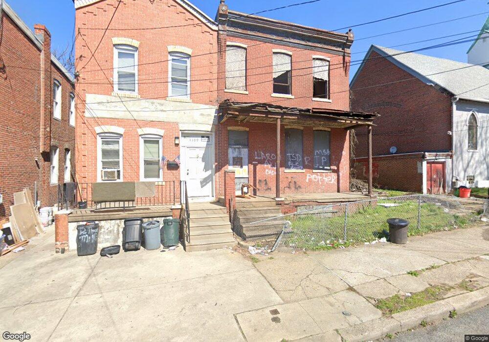
1111 Thurman St Camden, NJ 08104
Liberty Park NeighborhoodEstimated Value: $135,964 - $217,000
--
Bed
--
Bath
2,640
Sq Ft
$70/Sq Ft
Est. Value
About This Home
This home is located at 1111 Thurman St, Camden, NJ 08104 and is currently estimated at $184,655, approximately $69 per square foot. 1111 Thurman St is a home located in Camden County with nearby schools including Camden High School and Freedom Prep Charter School.
Ownership History
Date
Name
Owned For
Owner Type
Purchase Details
Closed on
Mar 1, 2018
Sold by
Commnity Baptist Church
Bought by
The Power Of The Anointed Word Ministry
Current Estimated Value
Home Financials for this Owner
Home Financials are based on the most recent Mortgage that was taken out on this home.
Original Mortgage
$25,000
Outstanding Balance
$21,433
Interest Rate
4.4%
Mortgage Type
Commercial
Estimated Equity
$163,222
Purchase Details
Closed on
Jan 29, 1990
Bought by
Community Baptist Church
Create a Home Valuation Report for This Property
The Home Valuation Report is an in-depth analysis detailing your home's value as well as a comparison with similar homes in the area
Home Values in the Area
Average Home Value in this Area
Purchase History
| Date | Buyer | Sale Price | Title Company |
|---|---|---|---|
| The Power Of The Anointed Word Ministry | $75,000 | National Integrity Llc | |
| Community Baptist Church | $50,000 | -- |
Source: Public Records
Mortgage History
| Date | Status | Borrower | Loan Amount |
|---|---|---|---|
| Open | The Power Of The Anointed Word Ministry | $25,000 |
Source: Public Records
Tax History Compared to Growth
Tax History
| Year | Tax Paid | Tax Assessment Tax Assessment Total Assessment is a certain percentage of the fair market value that is determined by local assessors to be the total taxable value of land and additions on the property. | Land | Improvement |
|---|---|---|---|---|
| 2025 | $570 | $16,100 | $7,000 | $9,100 |
| 2024 | $551 | $16,100 | $7,000 | $9,100 |
| 2023 | $551 | $16,100 | $7,000 | $9,100 |
| 2022 | $541 | $16,100 | $7,000 | $9,100 |
| 2021 | $539 | $16,100 | $7,000 | $9,100 |
| 2020 | $512 | $16,100 | $7,000 | $9,100 |
| 2019 | $490 | $16,100 | $7,000 | $9,100 |
| 2018 | $488 | $16,100 | $7,000 | $9,100 |
| 2017 | $0 | $16,100 | $7,000 | $9,100 |
| 2016 | $0 | $16,100 | $7,000 | $9,100 |
| 2015 | -- | $16,100 | $7,000 | $9,100 |
| 2014 | -- | $16,100 | $7,000 | $9,100 |
Source: Public Records
Map
Nearby Homes
- 1097 Morton St
- 1522 S 10th St
- 1139 Lowell St
- 1476 Mount Ephraim Ave Unit 3
- 1165 Morton St
- 1574 Mount Ephraim Ave
- 1454 Mount Ephraim Ave
- 940 Morton St
- 1183 Chase St
- 1575 Louis St
- 1165 Lansdowne Ave
- 1167 Lansdowne Ave
- 1169 Lansdowne Ave
- 1216 Morton St
- 1218 Morton St
- 1613 Louis St
- 936 Mechanic St
- 1240 Chase St
- 2033 -2043 S 10th St
- 1239 Jackson St
- 1109 Thurman St
- 1107 Thurman St
- 1105 Thurman St
- 1520 Newport St
- 1103 Thurman St
- 1518 Newport St
- 1516 Newport St
- 1101 Thurman St
- 1514 Newport St
- 1517 Mount Ephraim Ave
- 1114 Thurman St
- 1116 Thurman St
- 1112 Thurman St
- 1515 Mount Ephraim Ave
- 1108 Thurman St
- 1106 Thurman St
- 1110 Thurman St
- 1104 Thurman St
- 1513 Mount Ephraim Ave
- 1102 Thurman St