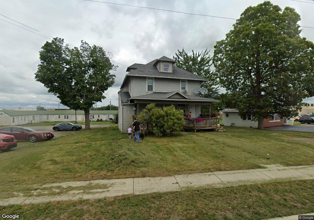
1111 W Main St van Wert, OH 45891
Estimated Value: $104,000 - $145,000
5
Beds
3
Baths
2,548
Sq Ft
$50/Sq Ft
Est. Value
About This Home
This home is located at 1111 W Main St, van Wert, OH 45891 and is currently estimated at $126,667, approximately $49 per square foot. 1111 W Main St is a home located in Van Wert County with nearby schools including Van Wert Early Childhood Center, Van Wert High School, and Lifelinks Community School.
Ownership History
Date
Name
Owned For
Owner Type
Purchase Details
Closed on
Sep 26, 2011
Sold by
Wells Fargo Bank Na
Bought by
Welch Roger L
Current Estimated Value
Purchase Details
Closed on
Sep 30, 2010
Sold by
Jensen Neal K
Bought by
Wells Fargo Bank Na
Purchase Details
Closed on
Jul 5, 2005
Sold by
Elston Stephen A and Elston Robin
Bought by
Jensen Neal K
Home Financials for this Owner
Home Financials are based on the most recent Mortgage that was taken out on this home.
Original Mortgage
$73,350
Interest Rate
5.75%
Mortgage Type
Future Advance Clause Open End Mortgage
Purchase Details
Closed on
Nov 30, 1998
Bought by
Elston Stephen A
Create a Home Valuation Report for This Property
The Home Valuation Report is an in-depth analysis detailing your home's value as well as a comparison with similar homes in the area
Home Values in the Area
Average Home Value in this Area
Purchase History
| Date | Buyer | Sale Price | Title Company |
|---|---|---|---|
| Welch Roger L | $25,000 | None Available | |
| Wells Fargo Bank Na | $58,000 | None Available | |
| Jensen Neal K | $24,750 | None Available | |
| Elston Stephen A | $31,500 | -- |
Source: Public Records
Mortgage History
| Date | Status | Borrower | Loan Amount |
|---|---|---|---|
| Previous Owner | Jensen Neal K | $73,350 |
Source: Public Records
Tax History Compared to Growth
Tax History
| Year | Tax Paid | Tax Assessment Tax Assessment Total Assessment is a certain percentage of the fair market value that is determined by local assessors to be the total taxable value of land and additions on the property. | Land | Improvement |
|---|---|---|---|---|
| 2024 | $1,730 | $47,450 | $4,660 | $42,790 |
| 2023 | $1,730 | $47,450 | $4,660 | $42,790 |
| 2022 | $565 | $10,830 | $3,440 | $7,390 |
| 2021 | $1,264 | $30,040 | $3,440 | $26,600 |
| 2020 | $1,261 | $30,040 | $3,440 | $26,600 |
| 2019 | $1,089 | $25,040 | $3,440 | $21,600 |
| 2018 | $1,034 | $25,040 | $3,440 | $21,600 |
| 2017 | $1,034 | $25,040 | $3,440 | $21,600 |
| 2016 | $973 | $26,530 | $3,440 | $23,090 |
| 2015 | $973 | $26,530 | $3,440 | $23,090 |
| 2014 | $963 | $26,530 | $3,440 | $23,090 |
| 2013 | $1,037 | $26,530 | $3,440 | $23,090 |
Source: Public Records
Map
Nearby Homes
- 1055 Westchester Ct
- 1028 Westchester Ct
- 927 Woodland Ave
- 218 Burt St
- 1213 David St
- 1006 Kear Rd
- 1006 Hughes St
- 902 Kear Rd
- 729 George St
- 829 Allingham St
- 603 Pewterboy Ave
- 706 Woodland Ave
- 1421 Krendl Dr
- 331 North St
- 736 Leeson Ave
- 510 Euclid Ave
- 9188 John Brown Rd Unit Lot 37
- 9188 John Brown Rd Unit Lot 7
- 9188 John Brown Rd Unit LOT 60
- 9188 John Brown Rd Unit LOT 15