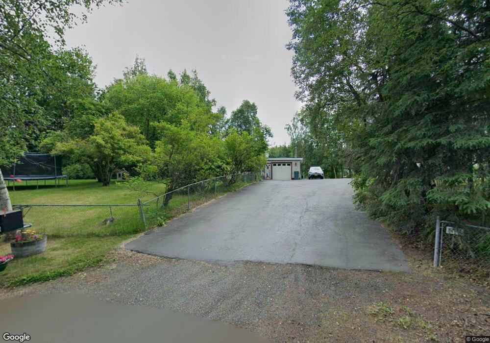
11111 Polar Dr Anchorage, AK 99516
Huffman-O'Malley NeighborhoodEstimated Value: $271,000 - $536,000
3
Beds
2
Baths
890
Sq Ft
$470/Sq Ft
Est. Value
About This Home
This home is located at 11111 Polar Dr, Anchorage, AK 99516 and is currently estimated at $418,224, approximately $469 per square foot. 11111 Polar Dr is a home located in Anchorage Municipality with nearby schools including Bowman Elementary School, Hanshew Middle School, and Service High School.
Ownership History
Date
Name
Owned For
Owner Type
Purchase Details
Closed on
Dec 30, 2020
Sold by
Mckee Carole D and Mckee Jason D
Bought by
Mckee Jason A
Current Estimated Value
Home Financials for this Owner
Home Financials are based on the most recent Mortgage that was taken out on this home.
Original Mortgage
$260,250
Outstanding Balance
$231,166
Interest Rate
2.7%
Mortgage Type
New Conventional
Estimated Equity
$187,058
Create a Home Valuation Report for This Property
The Home Valuation Report is an in-depth analysis detailing your home's value as well as a comparison with similar homes in the area
Home Values in the Area
Average Home Value in this Area
Purchase History
| Date | Buyer | Sale Price | Title Company |
|---|---|---|---|
| Mckee Jason A | -- | New Title Company Name |
Source: Public Records
Mortgage History
| Date | Status | Borrower | Loan Amount |
|---|---|---|---|
| Open | Mckee Jason A | $260,250 |
Source: Public Records
Tax History Compared to Growth
Tax History
| Year | Tax Paid | Tax Assessment Tax Assessment Total Assessment is a certain percentage of the fair market value that is determined by local assessors to be the total taxable value of land and additions on the property. | Land | Improvement |
|---|---|---|---|---|
| 2025 | $4,214 | $351,700 | $113,100 | $238,600 |
| 2024 | $4,214 | $336,000 | $107,700 | $228,300 |
| 2023 | $5,244 | $307,900 | $100,000 | $207,900 |
| 2022 | $4,116 | $294,400 | $100,100 | $194,300 |
| 2021 | $4,977 | $276,200 | $100,100 | $176,100 |
| 2020 | $3,733 | $269,900 | $100,100 | $169,800 |
| 2019 | $3,532 | $265,900 | $100,100 | $165,800 |
| 2018 | $3,713 | $276,400 | $113,800 | $162,600 |
| 2017 | $4,125 | $283,400 | $108,600 | $174,800 |
| 2016 | $3,478 | $281,800 | $108,600 | $173,200 |
| 2015 | $3,478 | $269,400 | $104,300 | $165,100 |
| 2014 | $3,478 | $259,000 | $96,800 | $162,200 |
Source: Public Records
Map
Nearby Homes
- 2640 E 112th Ave
- 11135 Red Sky Cir
- L16 Sky Ridge Dr
- 11097 Sky Ridge Dr
- 11359 Tulin Park Loop
- 11335 Tulin Park Loop
- 2735 Meadow Wood Cir
- 10359 Valley Park Dr
- 8000 Independence Park Dr
- 10690 Commodore Dr
- 1510 Elcadore Dr Unit 134
- 1900-1941 Marthas Vineyard Cir
- 000 Wagner St
- 11483 Moonrise Ridge Place Unit 10
- 11418 Moonrise Ridge Place Unit 19
- 10260 Jamestown Dr Unit A8
- 10250 Jamestown Dr Unit B09
- 12283 Timberwood Cir
- 2521 Winterchase Cir
- 3641 E Klatt Rd
- 11121 Polar Dr
- 2550 E 110th Ave
- 11100 Polar Dr
- 11200 Lake Otis Pkwy
- 11131 Polar Dr
- 11010 Lake Otis Pkwy
- 11041 Lake Otis Pkwy
- 11020 Polar Dr
- 11210 Willene Dr
- 2635 E 112th Ave
- 2600 E 112th Ave
- 11051 Lake Otis Pkwy
- 11251 Lake Otis Pkwy
- 11141 Polar Dr
- 11000 Lake Otis Pkwy
- 6 Lots Mona Ave
- 11130 Polar Dr
- 2620 E 112th Ave
- 11000 Polar Dr
- 11001 Polar Dr