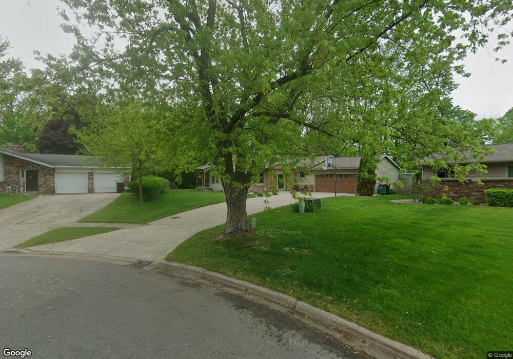
11111 Radcliff Dr Allendale, MI 49401
Estimated Value: $385,000 - $505,689
4
Beds
2
Baths
3,200
Sq Ft
$138/Sq Ft
Est. Value
About This Home
This home is located at 11111 Radcliff Dr, Allendale, MI 49401 and is currently estimated at $441,172, approximately $137 per square foot. 11111 Radcliff Dr is a home located in Ottawa County with nearby schools including Evergreen Elementary School, Allendale Middle School, and Allendale High School.
Ownership History
Date
Name
Owned For
Owner Type
Purchase Details
Closed on
Jun 26, 2008
Sold by
Thornton Wayne A and Thornton Dianna L
Bought by
Wallace Bradley C and Wallace Michelle R
Current Estimated Value
Home Financials for this Owner
Home Financials are based on the most recent Mortgage that was taken out on this home.
Original Mortgage
$147,250
Outstanding Balance
$94,464
Interest Rate
5.96%
Mortgage Type
Purchase Money Mortgage
Estimated Equity
$346,708
Create a Home Valuation Report for This Property
The Home Valuation Report is an in-depth analysis detailing your home's value as well as a comparison with similar homes in the area
Home Values in the Area
Average Home Value in this Area
Purchase History
| Date | Buyer | Sale Price | Title Company |
|---|---|---|---|
| Wallace Bradley C | $155,000 | None Available |
Source: Public Records
Mortgage History
| Date | Status | Borrower | Loan Amount |
|---|---|---|---|
| Open | Wallace Bradley C | $147,250 |
Source: Public Records
Tax History Compared to Growth
Tax History
| Year | Tax Paid | Tax Assessment Tax Assessment Total Assessment is a certain percentage of the fair market value that is determined by local assessors to be the total taxable value of land and additions on the property. | Land | Improvement |
|---|---|---|---|---|
| 2025 | $4,694 | $247,300 | $0 | $0 |
| 2024 | $4,079 | $240,300 | $0 | $0 |
| 2023 | $3,893 | $210,300 | $0 | $0 |
| 2022 | $4,268 | $201,500 | $0 | $0 |
| 2021 | $4,142 | $178,100 | $0 | $0 |
| 2020 | $4,096 | $172,100 | $0 | $0 |
| 2019 | $4,040 | $153,100 | $0 | $0 |
| 2018 | $3,793 | $142,600 | $0 | $0 |
| 2017 | $3,688 | $138,000 | $0 | $0 |
| 2016 | $3,470 | $126,800 | $0 | $0 |
| 2015 | -- | $118,600 | $0 | $0 |
| 2014 | -- | $112,000 | $0 | $0 |
Source: Public Records
Map
Nearby Homes
- 6267 Vine Leaf Dr
- 4848 Allen Park Dr Unit 2
- 4848 Allen Park Dr Unit 1
- 4418 Oakland Dr
- 5241 Margot Ln
- 5325 Margot Ln
- 11488 56th Ave
- 5361 Margot Ln
- 11506 56th Ave
- 5279 Windfield Dr
- 9653 52nd Ave
- 11444 56th Ave
- 11474 56th Ave
- 5690 Forest View St
- 10528 Camfield Ct
- 10786 Melanie Dr
- 10718 Melanie Dr
- 11367 Rosewood Ave
- 11610 Sunset Glen
- 10725 Melanie Dr
- 11101 Radcliff Dr
- 11123 Radcliff Dr
- 11091 Radcliff Dr
- 11137 Radcliff Dr
- 11130 Radcliff Dr
- 11151 Radcliff Dr
- 11081 Radcliff Dr
- 11088 Radcliff Dr
- 11150 Stanford Ave
- 11071 Radcliff Dr
- 11078 Radcliff Dr
- 11085 Stanford Ave
- 11170 Radcliff Dr
- 11075 Stanford Ave
- 11061 Radcliff Dr
- 11065 Stanford Ave
- 11144 Stanford Ave
- 11144 Stanford Ave Unit &46
- 5066 Lake Michigan Dr
- 0 Stanford Ave