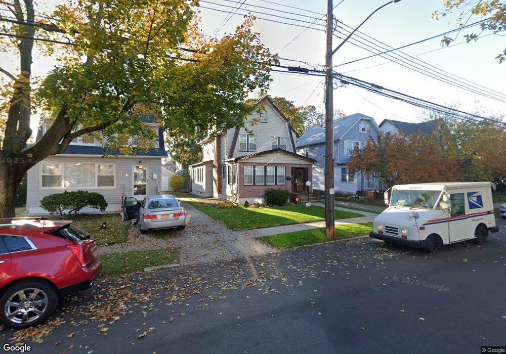
11112 201st St Saint Albans, NY 11412
Hollis NeighborhoodEstimated Value: $659,488 - $886,000
--
Bed
--
Bath
1,760
Sq Ft
$440/Sq Ft
Est. Value
About This Home
This home is located at 11112 201st St, Saint Albans, NY 11412 and is currently estimated at $774,122, approximately $439 per square foot. 11112 201st St is a home located in Queens County with nearby schools including P.S. 134 Langston Hughes School, I.S. 192 The Linden, and St Albans Christian Academy.
Ownership History
Date
Name
Owned For
Owner Type
Purchase Details
Closed on
Apr 28, 1995
Sold by
Johnson Oswald and Johnson Romaine
Bought by
Mely Betty
Current Estimated Value
Home Financials for this Owner
Home Financials are based on the most recent Mortgage that was taken out on this home.
Original Mortgage
$141,100
Interest Rate
8.33%
Mortgage Type
FHA
Create a Home Valuation Report for This Property
The Home Valuation Report is an in-depth analysis detailing your home's value as well as a comparison with similar homes in the area
Home Values in the Area
Average Home Value in this Area
Purchase History
| Date | Buyer | Sale Price | Title Company |
|---|---|---|---|
| Mely Betty | $143,000 | -- |
Source: Public Records
Mortgage History
| Date | Status | Borrower | Loan Amount |
|---|---|---|---|
| Closed | Mely Betty | $141,100 |
Source: Public Records
Tax History Compared to Growth
Tax History
| Year | Tax Paid | Tax Assessment Tax Assessment Total Assessment is a certain percentage of the fair market value that is determined by local assessors to be the total taxable value of land and additions on the property. | Land | Improvement |
|---|---|---|---|---|
| 2025 | $5,829 | $31,530 | $9,740 | $21,790 |
| 2024 | $5,842 | $30,424 | $9,705 | $20,719 |
| 2023 | $5,484 | $28,703 | $9,970 | $18,733 |
| 2022 | $5,395 | $30,960 | $12,900 | $18,060 |
| 2021 | $5,450 | $31,260 | $12,900 | $18,360 |
| 2020 | $5,266 | $31,740 | $12,900 | $18,840 |
| 2019 | $5,011 | $32,820 | $12,900 | $19,920 |
| 2018 | $4,578 | $23,919 | $9,777 | $14,142 |
| 2017 | $4,536 | $23,720 | $11,564 | $12,156 |
| 2016 | $4,238 | $23,720 | $11,564 | $12,156 |
| 2015 | $2,479 | $21,896 | $12,764 | $9,132 |
| 2014 | $2,479 | $21,128 | $13,684 | $7,444 |
Source: Public Records
Map
Nearby Homes
- 11132 199th St
- 112-28 199th St
- 19920 Hollis Ave
- 10967 203rd St
- 200-21 Hollis Ave
- 112-32 204th St
- 111-09 205th St
- 111-39 205th St
- 114-11 200th St
- 194-29 112th Ave
- 20202 109th Ave
- 194- 24 111th Rd
- 205-28 110th Ave
- 204-03 Murdock Ave
- 194-16 112th Ave
- 114-25 201st St
- 104-38 202nd St
- 104-39 199th St
- 10445 198th St
- 204-06 109th Ave
- 11108 201st St
- 11116 201st St
- 111-08 201st St
- 11120 201st St
- 20016 111th Ave
- 11111 200th St
- 11107 200th St
- 11115 200th St
- 11124 201st St
- 11124 201st St
- 11119 200th St
- 20006 111th Ave
- 11123 200th St
- 11128 201st St
- 111-23 200th St
- 11115 201st St
- 200-16 111th Ave
- 11111 201st St
- 11115 201st St
- 11107 201st St