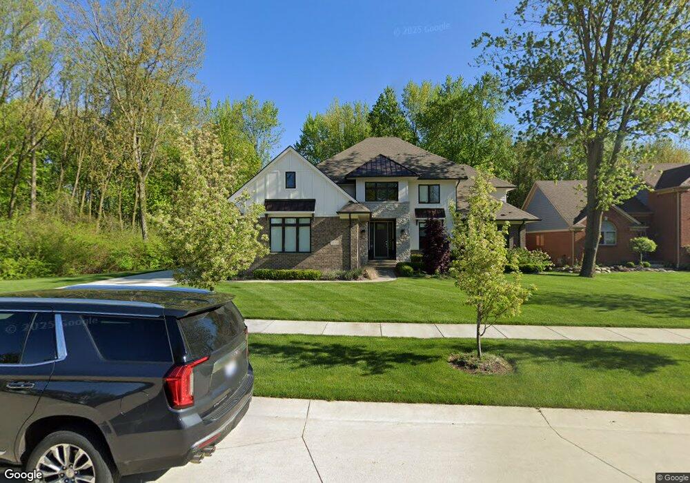
11113 Minnfrank Dr Shelby Township, MI 48316
Estimated Value: $181,000 - $909,000
4
Beds
4
Baths
4,040
Sq Ft
$167/Sq Ft
Est. Value
About This Home
This home is located at 11113 Minnfrank Dr, Shelby Township, MI 48316 and is currently estimated at $672,766, approximately $166 per square foot. 11113 Minnfrank Dr is a home with nearby schools including Crissman Elementary School, Malow Junior High School, and Eisenhower High School.
Ownership History
Date
Name
Owned For
Owner Type
Purchase Details
Closed on
Dec 11, 2024
Sold by
Silveri Richard M and Silveri Fran-Marie
Bought by
Silveri Richard M and Silveri Fran-Marie
Current Estimated Value
Home Financials for this Owner
Home Financials are based on the most recent Mortgage that was taken out on this home.
Original Mortgage
$280,750
Outstanding Balance
$278,542
Interest Rate
6.79%
Mortgage Type
New Conventional
Estimated Equity
$394,224
Purchase Details
Closed on
Apr 26, 2021
Sold by
Silveri Richard M and Silveri Fran Marie
Bought by
Silveri Richard M and Silveri Fran Marie
Purchase Details
Closed on
Jul 17, 2020
Sold by
Triangle Enterprises Inc
Bought by
Park North Llc
Create a Home Valuation Report for This Property
The Home Valuation Report is an in-depth analysis detailing your home's value as well as a comparison with similar homes in the area
Home Values in the Area
Average Home Value in this Area
Purchase History
| Date | Buyer | Sale Price | Title Company |
|---|---|---|---|
| Silveri Richard M | -- | None Listed On Document | |
| Silveri Richard M | -- | None Listed On Document | |
| Silveri Richard M | -- | None Listed On Document | |
| Silveri Richard M | -- | None Available | |
| Park North Llc | $20,000 | Chirco Title Agency Inc | |
| Silveri Richard M | $70,000 | None Available |
Source: Public Records
Mortgage History
| Date | Status | Borrower | Loan Amount |
|---|---|---|---|
| Open | Silveri Richard M | $280,750 | |
| Closed | Silveri Richard M | $280,750 |
Source: Public Records
Tax History Compared to Growth
Tax History
| Year | Tax Paid | Tax Assessment Tax Assessment Total Assessment is a certain percentage of the fair market value that is determined by local assessors to be the total taxable value of land and additions on the property. | Land | Improvement |
|---|---|---|---|---|
| 2025 | $10,176 | $402,100 | $0 | $0 |
| 2024 | $9,687 | $375,900 | $0 | $0 |
| 2023 | $5,704 | $346,600 | $0 | $0 |
| 2022 | $9,201 | $300,000 | $0 | $0 |
| 2021 | $9,402 | $305,100 | $0 | $0 |
| 2020 | $1,066 | $39,800 | $0 | $0 |
Source: Public Records
Map
Nearby Homes
- 53781 Desano Dr
- 53060 Wolf Dr
- 8480 Rosecrest Ct
- 53080 Providence Dr Unit 11
- 8446 Pine Creek Dr Unit 12
- 8459 Lindamar Ln
- 53105 Providence Dr
- 11970 Diamond Dr
- 52145 Brentwood Dr
- 12277 Forest Glen Ln
- 0000 Southfield & Smiley St
- 11884 Shawnee Point
- 54615 Deadwood Ln
- 54158 Blue Cloud Dr
- 11988 Whispering Oak Ln
- 8159 Smiley Ave
- 11924 Raintree Ct
- 8340 Marcrest Dr
- 53044 Ruann Dr
- 11812 Encore Dr
- 53350 Williams Way
- 53307 Hawald Dr
- 11127 Minnfrank Dr
- 11139 Minnfrank Dr
- 53325 Hawald Dr
- 53271 Hawald Dr
- 53308 Williams Way
- 53343 Hawald Dr
- 53309 Williams Way
- 53253 Hawald Dr
- 53270 Williams Way
- 53235 Hawald Dr
- 53290 Hawald Dr
- 53269 Williams Way
- 53515 Hawald Dr
- 53500 Hawald Dr
- 53312 Hawald Dr
- 53272 Hawald Dr
- 5081 Hawald Dr
- 11143 Minnfrank Dr