11113 S Larson Rd Unit AI Anderson Island, WA 98303
Estimated Value: $748,000 - $1,113,226
3
Beds
3
Baths
1,900
Sq Ft
$503/Sq Ft
Est. Value
About This Home
This home is located at 11113 S Larson Rd Unit AI, Anderson Island, WA 98303 and is currently estimated at $955,057, approximately $502 per square foot. 11113 S Larson Rd Unit AI is a home located in Pierce County with nearby schools including Anderson Island Elementary School, Pioneer Middle School, and Steilacoom High School.
Ownership History
Date
Name
Owned For
Owner Type
Purchase Details
Closed on
Sep 13, 2004
Sold by
Kraus Mark and Kraus Julie
Bought by
Vanoutryve Dirk and Vanoutryve Andrea L
Current Estimated Value
Home Financials for this Owner
Home Financials are based on the most recent Mortgage that was taken out on this home.
Original Mortgage
$333,700
Outstanding Balance
$165,984
Interest Rate
5.94%
Mortgage Type
Purchase Money Mortgage
Estimated Equity
$789,073
Purchase Details
Closed on
Jul 19, 2001
Sold by
Radford Richard
Bought by
Kraus Mark and Kraus Julie
Purchase Details
Closed on
Aug 5, 1997
Sold by
Radford Richard
Bought by
Kraus Mark and Kraus Julie
Home Financials for this Owner
Home Financials are based on the most recent Mortgage that was taken out on this home.
Original Mortgage
$100,000
Interest Rate
8%
Purchase Details
Closed on
Oct 27, 1993
Sold by
Radford Richard
Bought by
Radford Richard
Create a Home Valuation Report for This Property
The Home Valuation Report is an in-depth analysis detailing your home's value as well as a comparison with similar homes in the area
Home Values in the Area
Average Home Value in this Area
Purchase History
| Date | Buyer | Sale Price | Title Company |
|---|---|---|---|
| Vanoutryve Dirk | $435,000 | Fidelity National Title Co | |
| Kraus Mark | -- | -- | |
| Kraus Mark | $150,000 | Transnation Title | |
| Radford Richard | -- | -- |
Source: Public Records
Mortgage History
| Date | Status | Borrower | Loan Amount |
|---|---|---|---|
| Open | Vanoutryve Dirk | $333,700 | |
| Previous Owner | Kraus Mark | $100,000 |
Source: Public Records
Tax History Compared to Growth
Tax History
| Year | Tax Paid | Tax Assessment Tax Assessment Total Assessment is a certain percentage of the fair market value that is determined by local assessors to be the total taxable value of land and additions on the property. | Land | Improvement |
|---|---|---|---|---|
| 2025 | $9,663 | $1,053,900 | $412,800 | $641,100 |
| 2024 | $9,663 | $1,014,200 | $402,700 | $611,500 |
| 2023 | $9,663 | $929,000 | $378,600 | $550,400 |
| 2022 | $8,467 | $854,400 | $362,500 | $491,900 |
| 2021 | $7,721 | $612,400 | $281,900 | $330,500 |
| 2019 | $6,615 | $589,100 | $267,800 | $321,300 |
| 2018 | $6,979 | $510,800 | $229,600 | $281,200 |
| 2017 | $6,290 | $478,300 | $215,500 | $262,800 |
| 2016 | $6,967 | $474,700 | $213,500 | $261,200 |
| 2014 | $6,460 | $479,700 | $213,500 | $266,200 |
| 2013 | $6,460 | $395,200 | $158,500 | $236,700 |
Source: Public Records
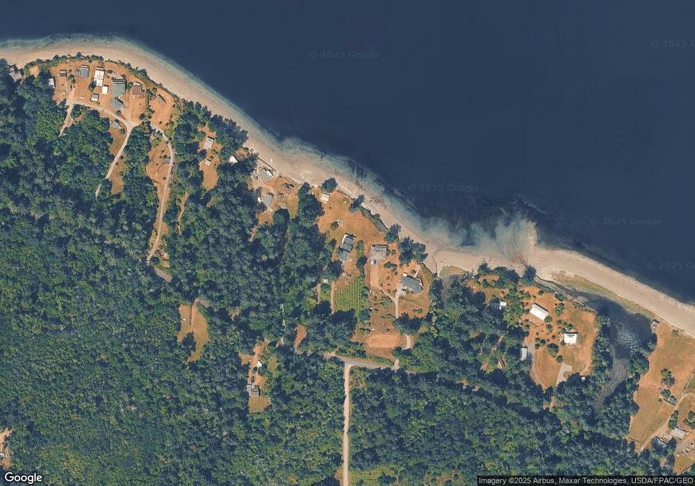
Map
Nearby Homes
- 8406 112th Ave
- 8510 112th Ave
- 8615 Eckenstam Johnson Rd
- 11316 Breaker Way
- 9026 Villa Beach Rd Unit AI
- 9223 Kootenai Dr
- 12123 Sunset Place
- 9310 123rd Ave
- 9705 117th Ave
- 12408 93rd St
- 8912 126th Avenue Ct
- 8811 127th Avenue Ct
- 12606 Silver Dr
- 10018 Selma Cir
- 12611 Silver Dr
- 10114 Selma Cir
- 10102 104th Ave
- 11116 Matthews Way
- 10519 Suncrest Dr
- 11104 Matthews Way
- 11109 Larson Rd
- 11203 S Larson Rd
- 11203 S Larson Rd Unit AI
- 11101 Larson Rd Unit AI
- 11209 Larson Rd Unit AI
- 11301 S Larson Rd Unit AI
- 11105 Larson Rd
- 11307 S Larson Rd Unit AI
- 11500 Larson Rd
- 11100 Larson Rd
- 10806 Larson Rd
- 11017 Larson Rd
- 11313 Larson Rd Unit AI
- 11304 Larson Rd Unit AI
- 10919 Larson Rd Unit AI
- 11411 Larson Rd Unit AI
- 11415 Larson Rd Unit AI
- 10915 Larson Rd
- 11419 Larson Rd Unit AI
- 0 Brod Ln & Larson Rd Unit 2 28128078