11115 Branstrator Rd Fort Wayne, IN 46809
Estimated Value: $408,000 - $605,291
3
Beds
3
Baths
2,084
Sq Ft
$251/Sq Ft
Est. Value
About This Home
This home is located at 11115 Branstrator Rd, Fort Wayne, IN 46809 and is currently estimated at $524,097, approximately $251 per square foot. 11115 Branstrator Rd is a home located in Allen County with nearby schools including Lafayette Meadow School, Summit Middle School, and Homestead Senior High School.
Ownership History
Date
Name
Owned For
Owner Type
Purchase Details
Closed on
Jun 13, 2003
Sold by
Bickley Troy W
Bought by
Bickley Troy W and Bickley Denise A
Current Estimated Value
Home Financials for this Owner
Home Financials are based on the most recent Mortgage that was taken out on this home.
Original Mortgage
$218,600
Interest Rate
5.71%
Mortgage Type
Construction
Purchase Details
Closed on
Mar 22, 2002
Sold by
Bruggeman Patrick
Bought by
Hooven Howard E and Hooven Donna J
Home Financials for this Owner
Home Financials are based on the most recent Mortgage that was taken out on this home.
Original Mortgage
$41,421
Interest Rate
6.87%
Create a Home Valuation Report for This Property
The Home Valuation Report is an in-depth analysis detailing your home's value as well as a comparison with similar homes in the area
Home Values in the Area
Average Home Value in this Area
Purchase History
| Date | Buyer | Sale Price | Title Company |
|---|---|---|---|
| Bickley Troy W | -- | Metropolitan Title Indiana L | |
| Hooven Howard E | -- | -- |
Source: Public Records
Mortgage History
| Date | Status | Borrower | Loan Amount |
|---|---|---|---|
| Closed | Bickley Troy W | $218,600 | |
| Closed | Hooven Howard E | $41,421 |
Source: Public Records
Tax History Compared to Growth
Tax History
| Year | Tax Paid | Tax Assessment Tax Assessment Total Assessment is a certain percentage of the fair market value that is determined by local assessors to be the total taxable value of land and additions on the property. | Land | Improvement |
|---|---|---|---|---|
| 2024 | $4,477 | $472,500 | $108,200 | $364,300 |
| 2022 | $3,704 | $424,500 | $53,900 | $370,600 |
| 2021 | $3,338 | $367,800 | $53,900 | $313,900 |
| 2020 | $3,206 | $338,400 | $53,900 | $284,500 |
| 2019 | $2,839 | $307,300 | $46,700 | $260,600 |
| 2018 | $2,443 | $269,000 | $46,700 | $222,300 |
| 2017 | $2,542 | $263,200 | $46,700 | $216,500 |
| 2016 | $2,589 | $260,200 | $46,700 | $213,500 |
| 2014 | $2,341 | $242,000 | $46,700 | $195,300 |
| 2013 | $2,441 | $241,300 | $46,700 | $194,600 |
Source: Public Records
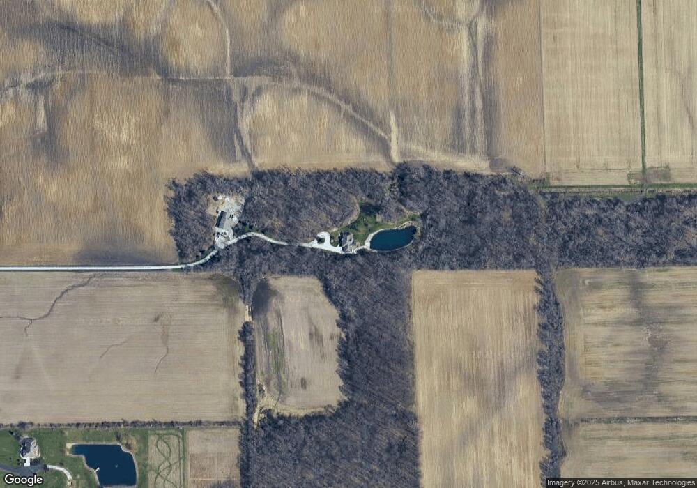
Map
Nearby Homes
- 13815 Branstrator Rd
- Freeport Plan at Sierra Ridge
- Chatham Plan at Sierra Ridge
- Bellamy Plan at Sierra Ridge
- Henley Plan at Sierra Ridge
- Stamford Plan at Sierra Ridge
- 10814 Lower Huntington Rd
- 11305 Nightingale Cove
- 11322 Miramar Cove
- 4305 Pleasant Center Rd
- TBD Hamilton Rd
- 11132 Carob Thorn Trail
- 6719 W Canal Pointe Ln
- 4435 Lower Huntington Rd
- 9523 Ledgewood Ct
- 9323 Manor Woods Rd
- 12502 Kress Rd
- 9204 Barbara Ln
- 2600 Blk Timbers Dr
- 6433 Sheffield Cove
- 11319 Branstrator Rd
- 11122 Branstrator Rd
- 10936 Coverdale Rd
- 11529 Branstrator Rd
- 11312 Branstrator Rd
- 10902 Branstrator Rd
- 11334 Branstrator Rd
- 7315 W Ferguson Rd
- 11208 Branstrator Rd
- 11414 Branstrator Rd
- 7031 W Ferguson Rd
- 11224 Branstrator Rd
- 6932 Winters Rd
- 7520 Winters Rd
- 7606 Winters Rd
- 11214 Branstrator Rd
- 7330 W Ferguson Rd
- 10428 Branstrator Rd
- 11220 Branstrator Rd
- 11326 Coverdale Rd