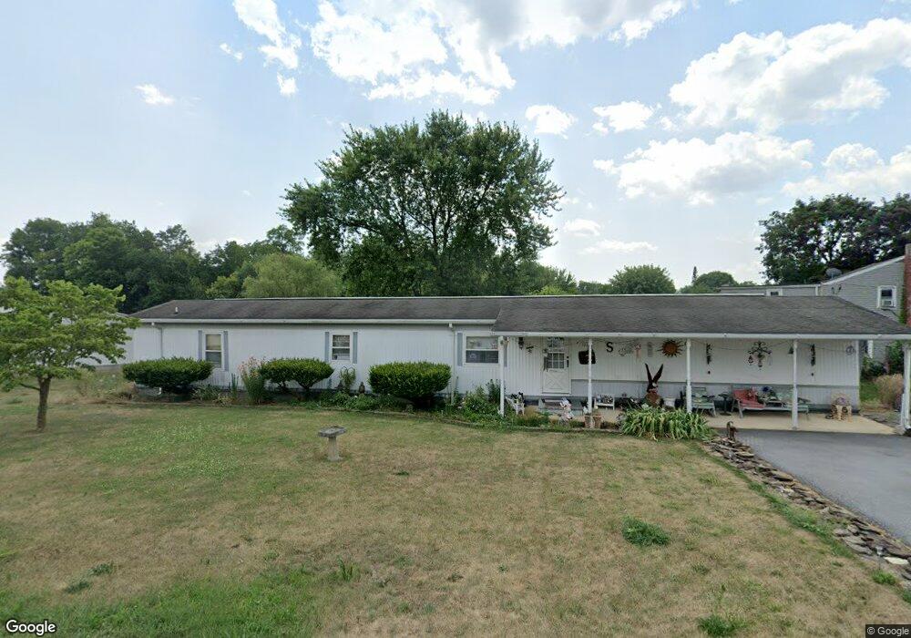
11118 Katie Ln Waynesboro, PA 17268
Estimated Value: $106,410 - $215,000
3
Beds
2
Baths
1,064
Sq Ft
$143/Sq Ft
Est. Value
About This Home
This home is located at 11118 Katie Ln, Waynesboro, PA 17268 and is currently estimated at $152,603, approximately $143 per square foot. 11118 Katie Ln is a home located in Franklin County with nearby schools including Greencastle-Antrim Primary School, Greencastle-Antrim Elementary School, and Greencastle-Antrim Middle School.
Ownership History
Date
Name
Owned For
Owner Type
Purchase Details
Closed on
Jul 7, 2009
Sold by
Smith Donald E
Bought by
Saccone Steven R
Current Estimated Value
Home Financials for this Owner
Home Financials are based on the most recent Mortgage that was taken out on this home.
Original Mortgage
$89,842
Interest Rate
5.14%
Mortgage Type
FHA
Create a Home Valuation Report for This Property
The Home Valuation Report is an in-depth analysis detailing your home's value as well as a comparison with similar homes in the area
Home Values in the Area
Average Home Value in this Area
Purchase History
| Date | Buyer | Sale Price | Title Company |
|---|---|---|---|
| Saccone Steven R | $91,500 | None Available |
Source: Public Records
Mortgage History
| Date | Status | Borrower | Loan Amount |
|---|---|---|---|
| Previous Owner | Saccone Steven R | $89,842 |
Source: Public Records
Tax History Compared to Growth
Tax History
| Year | Tax Paid | Tax Assessment Tax Assessment Total Assessment is a certain percentage of the fair market value that is determined by local assessors to be the total taxable value of land and additions on the property. | Land | Improvement |
|---|---|---|---|---|
| 2025 | $264 | $1,580 | $500 | $1,080 |
| 2024 | $240 | $1,580 | $500 | $1,080 |
| 2023 | $237 | $1,580 | $500 | $1,080 |
| 2022 | $237 | $1,580 | $500 | $1,080 |
| 2021 | $232 | $1,580 | $500 | $1,080 |
| 2020 | $226 | $1,580 | $500 | $1,080 |
| 2019 | $221 | $1,580 | $500 | $1,080 |
| 2018 | $219 | $1,580 | $500 | $1,080 |
| 2017 | $213 | $1,580 | $500 | $1,080 |
| 2016 | $45 | $1,580 | $500 | $1,080 |
| 2015 | $42 | $1,580 | $500 | $1,080 |
| 2014 | $42 | $1,580 | $500 | $1,080 |
Source: Public Records
Map
Nearby Homes
- 15621 Oak Rd
- 1031 Dianne Dr
- 1033 Dianne Dr
- 14732 Cedarbrook Dr
- 128 Hykes Rd E
- 110 Hykes Rd E
- 14799 Cedarbrook Dr
- Lot C3-2 Cedarbrook Dr
- Lot C3-1 Cedarbrook Dr
- 15444 Pennsylvania Ave
- 171 East Ave
- 14501 Molly Pitcher Hwy
- 684 Dresden Cir
- 15480 Wedgewood Dr
- 226 Milnor Rd
- 0 Hykes Rd
- 642 Milnor Rd
- 1700 Mcdowell Rd
- 14108 William Talcott Ln
- 0 Molly Pitcher Hwy Unit PAFL178468