Estimated Value: $249,000 - $300,000
3
Beds
2
Baths
1,842
Sq Ft
$146/Sq Ft
Est. Value
About This Home
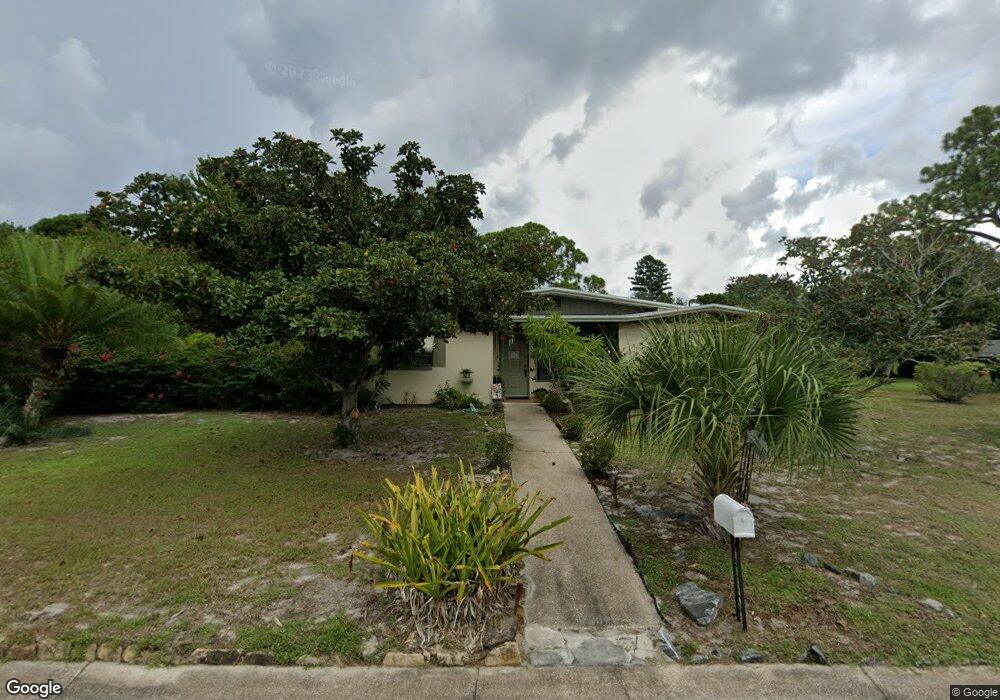
This home is located at 1112 Burnham St, Cocoa, FL 32922 and is currently estimated at $268,288, approximately $145 per square foot. 1112 Burnham St is a home located in Brevard County with nearby schools including Cambridge Elementary Magnet School, Cocoa High School, and RFM Christian Academy.
Ownership History
Date
Name
Owned For
Owner Type
Purchase Details
Closed on
May 25, 1995
Sold by
Caselli Carmelita Jean and Domulot Carmelita Jean
Bought by
Killingsworth Walter Ray and Killingsworth Anne L
Current Estimated Value
Home Financials for this Owner
Home Financials are based on the most recent Mortgage that was taken out on this home.
Original Mortgage
$67,850
Interest Rate
7.82%
Mortgage Type
FHA
Create a Home Valuation Report for This Property
The Home Valuation Report is an in-depth analysis detailing your home's value as well as a comparison with similar homes in the area
Home Values in the Area
Average Home Value in this Area
Purchase History
| Date | Buyer | Sale Price | Title Company |
|---|---|---|---|
| Killingsworth Walter Ray | $68,500 | -- |
Source: Public Records
Mortgage History
| Date | Status | Borrower | Loan Amount |
|---|---|---|---|
| Closed | Killingsworth Walter Ray | $67,850 |
Source: Public Records
Tax History
| Year | Tax Paid | Tax Assessment Tax Assessment Total Assessment is a certain percentage of the fair market value that is determined by local assessors to be the total taxable value of land and additions on the property. | Land | Improvement |
|---|---|---|---|---|
| 2025 | $1,000 | $65,860 | -- | -- |
| 2024 | $979 | $64,010 | -- | -- |
| 2023 | $979 | $62,150 | $0 | $0 |
| 2022 | $992 | $60,340 | $0 | $0 |
| 2021 | $982 | $58,590 | $0 | $0 |
| 2020 | $957 | $57,790 | $0 | $0 |
| 2019 | $936 | $56,500 | $0 | $0 |
| 2018 | $742 | $55,450 | $0 | $0 |
| 2017 | $743 | $54,310 | $0 | $0 |
| 2016 | $742 | $53,200 | $11,000 | $42,200 |
| 2015 | $748 | $52,840 | $11,000 | $41,840 |
| 2014 | $701 | $52,430 | $11,000 | $41,430 |
Source: Public Records
Map
Nearby Homes
- 1424 Pineda St
- 0 NE Stetson Cir Unit 1043762
- 0 NE Stetson Cir Unit 1043763
- 7231 Sundiet Blvd
- 0 NE Stetson Cir Unit 1043761
- 1107 Abington St
- 1204 Japonica Ln
- 1048 Japonica Ln
- 903 Westview Dr
- 1047 Japonica Ln
- 1318 Hillsdale Dr
- 1109 Alamanda Ln
- 808 Kensington Dr
- 1514- 1514 Furnari St
- 1313 Donna Ave
- 1011 Montclair Rd
- 1523 Clearlake Ct
- 1515 Furnari St
- 1531 Paradise Ln
- 1523 Furnari St
- 1114 Burnham St
- 1321 Audubon Dr
- 1320 Audubon Dr
- 1109 Burnham St
- 1322 Audubon Dr
- 1318 Audubon Dr
- 1111 Burnham St
- 1107 Burnham St
- 1105 Burnham St
- 7231 Sundiet Blvd
- 1418 Pineda St
- 1113 Burnham St
- 1316 Audubon Dr
- 1323 Audubon Dr
- 1330 Audubon Dr
- 1324 Audubon Dr
- 1420 Pineda St
- 1110 Abington St
- 1112 Abington St
- 1422 Pineda St
Your Personal Tour Guide
Ask me questions while you tour the home.