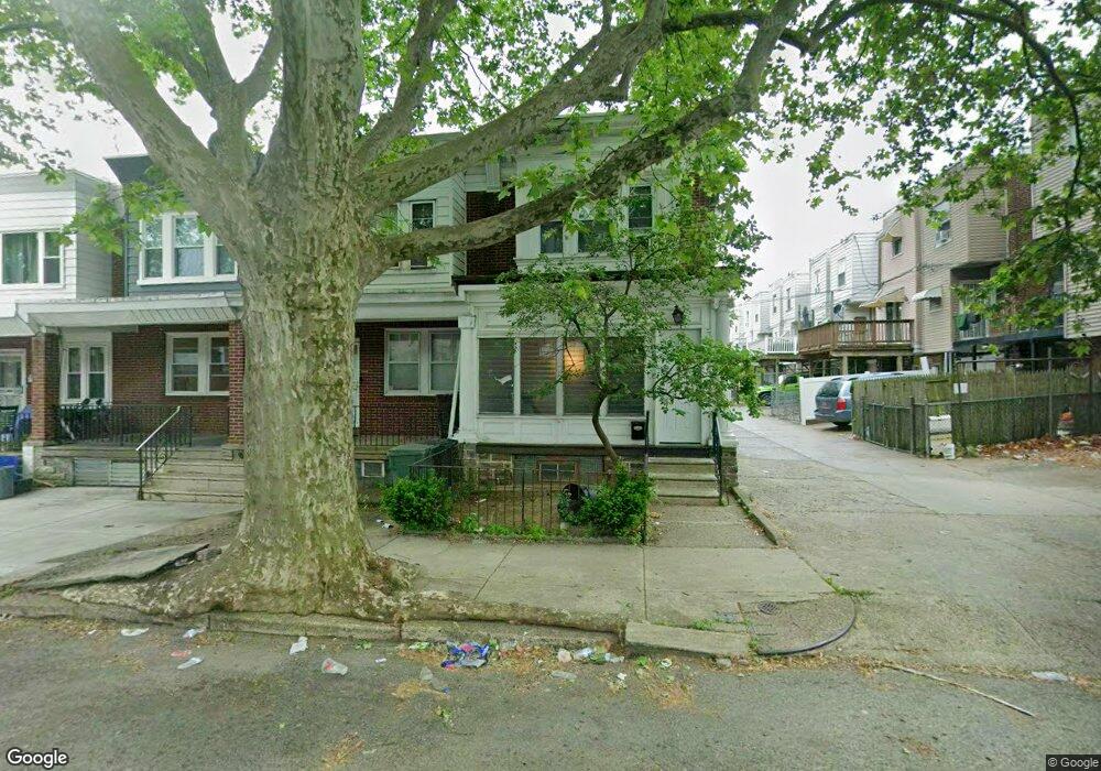
1112 E Sanger St Philadelphia, PA 19124
Frankford NeighborhoodEstimated Value: $205,000 - $234,000
3
Beds
1
Bath
1,280
Sq Ft
$169/Sq Ft
Est. Value
About This Home
This home is located at 1112 E Sanger St, Philadelphia, PA 19124 and is currently estimated at $216,290, approximately $168 per square foot. 1112 E Sanger St is a home located in Philadelphia County with nearby schools including Frankford High School, The Philadelphia Charter School for the Arts & Sciences, and Mastery Schools Smedley Elementary.
Ownership History
Date
Name
Owned For
Owner Type
Purchase Details
Closed on
May 24, 2005
Sold by
Alamara Abdul
Bought by
Alamara Hayder
Current Estimated Value
Purchase Details
Closed on
Mar 22, 2002
Sold by
Leary Alvin T and Leary Katherine E
Bought by
Alamara Abdul
Home Financials for this Owner
Home Financials are based on the most recent Mortgage that was taken out on this home.
Original Mortgage
$59,529
Outstanding Balance
$24,301
Interest Rate
6.88%
Mortgage Type
FHA
Estimated Equity
$191,989
Create a Home Valuation Report for This Property
The Home Valuation Report is an in-depth analysis detailing your home's value as well as a comparison with similar homes in the area
Home Values in the Area
Average Home Value in this Area
Purchase History
| Date | Buyer | Sale Price | Title Company |
|---|---|---|---|
| Alamara Hayder | -- | None Available | |
| Alamara Abdul | $60,000 | -- |
Source: Public Records
Mortgage History
| Date | Status | Borrower | Loan Amount |
|---|---|---|---|
| Open | Alamara Abdul | $59,529 |
Source: Public Records
Tax History Compared to Growth
Tax History
| Year | Tax Paid | Tax Assessment Tax Assessment Total Assessment is a certain percentage of the fair market value that is determined by local assessors to be the total taxable value of land and additions on the property. | Land | Improvement |
|---|---|---|---|---|
| 2026 | $1,985 | $175,100 | $35,020 | $140,080 |
| 2025 | $1,985 | $175,100 | $35,020 | $140,080 |
| 2024 | $1,985 | $175,100 | $35,020 | $140,080 |
| 2023 | $1,985 | $141,800 | $28,360 | $113,440 |
| 2022 | $1,447 | $141,800 | $28,360 | $113,440 |
| 2021 | $1,447 | $0 | $0 | $0 |
| 2020 | $1,447 | $0 | $0 | $0 |
| 2019 | $1,389 | $0 | $0 | $0 |
| 2018 | $1,351 | $0 | $0 | $0 |
| 2017 | $1,351 | $0 | $0 | $0 |
| 2016 | $1,351 | $0 | $0 | $0 |
| 2015 | $1,293 | $0 | $0 | $0 |
| 2014 | -- | $96,500 | $21,445 | $75,055 |
| 2012 | -- | $15,328 | $1,941 | $13,387 |
Source: Public Records
Map
Nearby Homes
- 1137 Bridge St
- 1209 E Sanger St
- 1431 Rosalie St
- 5347 Sylvester St
- 1048 Bridge St
- 1244 E Sanger St
- 5451 Oakland St
- 5902 E Roosevelt Blvd
- 5422 Akron St
- 1530 Van Kirk St
- 5661 Miriam Rd
- 5659 Miriam Rd
- 5304 Akron St
- 5431 Akron St
- 5345 Akron St
- 1204 Pratt St
- 5828 Akron St
- 1218 Pratt St
- 1220 Pratt St
- 7753 E Roosevelt Blvd
- 1114 E Sanger St
- 1118 E Sanger St
- 1120 E Sanger St
- 1122 E Sanger St
- 1124 E Sanger St
- 5357 Large St
- 5355 Large St
- 5353 Large St
- 5351 Large St
- 5359 Large St
- 1126 E Sanger St
- 5361 Large St
- 5349 Large St
- 1128 E Sanger St
- 5347 Large St
- 1113 Brill St
- 1119 Brill St
- 5345 Large St
- 1130 E Sanger St
- 1117 Brill St