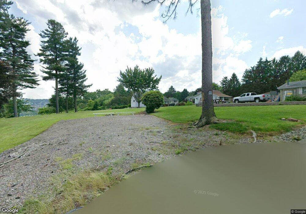
1112 King Rd Vandergrift, PA 15690
Parks Township NeighborhoodEstimated Value: $221,000 - $550,398
2
Beds
1
Bath
1,158
Sq Ft
$301/Sq Ft
Est. Value
About This Home
This home is located at 1112 King Rd, Vandergrift, PA 15690 and is currently estimated at $349,133, approximately $301 per square foot. 1112 King Rd is a home with nearby schools including Kiski Area High School.
Ownership History
Date
Name
Owned For
Owner Type
Purchase Details
Closed on
Jun 7, 2005
Sold by
Stear Derek J and Brank Katherine D
Bought by
Stear Derek J and Stear Katherine D
Current Estimated Value
Home Financials for this Owner
Home Financials are based on the most recent Mortgage that was taken out on this home.
Original Mortgage
$254,000
Outstanding Balance
$132,859
Interest Rate
5.79%
Mortgage Type
FHA
Estimated Equity
$216,274
Purchase Details
Closed on
Jun 26, 1996
Purchase Details
Closed on
Sep 13, 1990
Create a Home Valuation Report for This Property
The Home Valuation Report is an in-depth analysis detailing your home's value as well as a comparison with similar homes in the area
Home Values in the Area
Average Home Value in this Area
Purchase History
| Date | Buyer | Sale Price | Title Company |
|---|---|---|---|
| Stear Derek J | -- | None Available | |
| -- | $64,500 | -- | |
| -- | $50,000 | -- |
Source: Public Records
Mortgage History
| Date | Status | Borrower | Loan Amount |
|---|---|---|---|
| Open | Stear Derek J | $254,000 |
Source: Public Records
Tax History Compared to Growth
Tax History
| Year | Tax Paid | Tax Assessment Tax Assessment Total Assessment is a certain percentage of the fair market value that is determined by local assessors to be the total taxable value of land and additions on the property. | Land | Improvement |
|---|---|---|---|---|
| 2025 | $9,983 | $134,070 | $72,450 | $61,620 |
| 2024 | $9,223 | $134,070 | $72,450 | $61,620 |
| 2023 | $7,390 | $134,070 | $72,450 | $61,620 |
| 2022 | $7,390 | $134,070 | $72,450 | $61,620 |
| 2021 | $7,381 | $134,070 | $72,450 | $61,620 |
| 2020 | $7,475 | $134,070 | $72,450 | $61,620 |
| 2019 | $7,470 | $134,070 | $72,450 | $61,620 |
| 2018 | $7,323 | $103,500 | $15,470 | $88,030 |
| 2017 | $7,155 | $134,070 | $72,450 | $61,620 |
| 2016 | $6,947 | $134,070 | $72,450 | $61,620 |
| 2015 | $6,541 | $134,070 | $72,450 | $61,620 |
| 2014 | $6,541 | $134,070 | $72,450 | $61,620 |
Source: Public Records
Map
Nearby Homes
- 214 and 214 1/2 Whittier St
- 1149 Rosella Dr
- 1212 Gravel Bar Rd
- 1116 Grant St
- 1252 Jefferson St
- 137 Sherman Ave
- 133 Sherman Ave
- 0 Lutheran Church Rd
- 247 Sherman Ave
- 112 Farragut Ave Unit 3
- 129 Franklin Ave
- 121 Hamilton Ave
- 154 Jefferson Ave Unit 6
- 411 Center St
- 109 Washington Ave
- 369 Chestnut St
- 365 Chestnut St
- 405 5th Ave
- 219 Quay St
- 225 Mckinley Ave