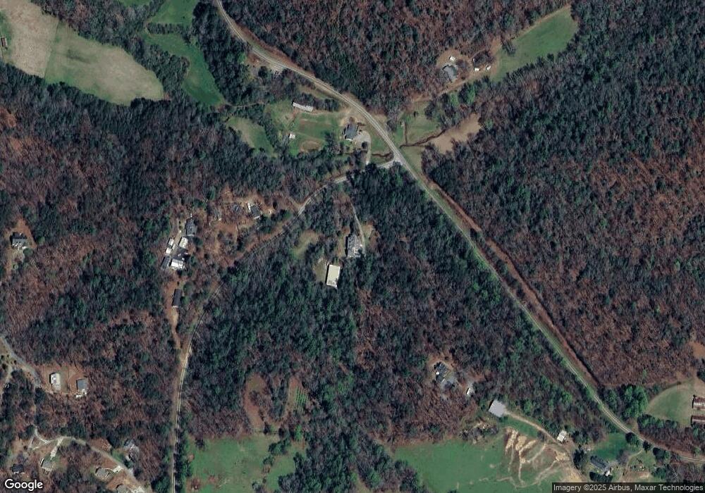
1112 Lewis School Rd Dahlonega, GA 30533
Estimated Value: $1,076,000
4
Beds
4
Baths
2,929
Sq Ft
$367/Sq Ft
Est. Value
About This Home
This home is located at 1112 Lewis School Rd, Dahlonega, GA 30533 and is currently estimated at $1,076,000, approximately $367 per square foot. 1112 Lewis School Rd is a home located in Lumpkin County with nearby schools including Lumpkin County High School.
Ownership History
Date
Name
Owned For
Owner Type
Purchase Details
Closed on
Aug 18, 2021
Sold by
Sutton Robert
Bought by
Sutton Robert and Sutton Donna
Current Estimated Value
Home Financials for this Owner
Home Financials are based on the most recent Mortgage that was taken out on this home.
Original Mortgage
$131,655
Outstanding Balance
$119,353
Interest Rate
2.7%
Mortgage Type
New Conventional
Estimated Equity
$956,647
Purchase Details
Closed on
May 10, 2001
Sold by
Sutton Brenda
Bought by
Sutton Brenda J and Sutton Robert
Purchase Details
Closed on
Feb 1, 1985
Bought by
Sutton Brenda
Create a Home Valuation Report for This Property
The Home Valuation Report is an in-depth analysis detailing your home's value as well as a comparison with similar homes in the area
Home Values in the Area
Average Home Value in this Area
Purchase History
| Date | Buyer | Sale Price | Title Company |
|---|---|---|---|
| Sutton Robert | $131,655 | -- | |
| Sutton Brenda J | -- | -- | |
| Sutton Brenda | -- | -- |
Source: Public Records
Mortgage History
| Date | Status | Borrower | Loan Amount |
|---|---|---|---|
| Open | Sutton Robert | $131,655 |
Source: Public Records
Tax History Compared to Growth
Tax History
| Year | Tax Paid | Tax Assessment Tax Assessment Total Assessment is a certain percentage of the fair market value that is determined by local assessors to be the total taxable value of land and additions on the property. | Land | Improvement |
|---|---|---|---|---|
| 2024 | $239 | $75,392 | $75,392 | $0 |
| 2023 | $217 | $63,997 | $63,997 | $0 |
| 2022 | $206 | $53,329 | $53,329 | $0 |
| 2021 | $591 | $207,488 | $88,977 | $118,511 |
| 2020 | $567 | $200,626 | $85,263 | $115,363 |
| 2019 | $581 | $200,626 | $85,263 | $115,363 |
| 2018 | $474 | $186,600 | $85,263 | $101,337 |
| 2017 | $439 | $182,029 | $85,263 | $96,766 |
| 2016 | $311 | $169,743 | $85,263 | $84,480 |
| 2015 | $233 | $169,743 | $85,263 | $84,480 |
| 2014 | $233 | $170,674 | $85,263 | $85,411 |
| 2013 | -- | $171,604 | $85,262 | $86,341 |
Source: Public Records
Map
Nearby Homes
- 748 Damascus Church Rd
- 412 Fireside Ridge Dr
- 2717 Damascus Church Rd
- 133 Elkmont Dr
- 0 Damascus Church Rd Unit 21674636
- 180 Alonzo Cain Rd
- 529 Eden Cir
- 0 Seabolt Stancil Rd Unit 23277875
- 33 Anglican Way
- 3145 Town Creek Church Rd
- 0 Horseshoe Bend Rd Unit 10571975
- 0 Horseshoe Bend Rd Unit 7620338
- 457 Celie Ann Seabolt Rd
- 925 Horseshoe Bend Rd
- 0 Paradise Valley Rd Unit 10468779
- 31 Pine Rd
- 129 Pine Rd
- 11161 Highway 19 N
- 00 Paradise Valley Rd
- 136 Gold Ditch Rd
- 1171 Lewis School Rd
- 2176 Damascus Church Rd
- Lot 2 Damascus Church Rd
- 1085 Lewis School Rd
- 1860 Damascus Church Rd
- 1979 Damascus Church Rd
- 178 Fireside Ridge Dr
- 610 Fireside Ridge Dr
- 58 Fireside Ridge Dr
- 276 Fireside Ridge Dr
- 0 Morningstar Ln Unit 2987592
- 0 Morningstar Ln Unit C2 7244379
- 0 Morningstar Ln Unit C 8004183
- 0 Morningstar Ln Unit C3 8061413
- 0 Morningstar Ln
- 39 Fireside Ridge Dr
- F4 Fireside Ridge
- F4 Fireside Ridge Rd
- C3 Morningstar Ln
- 2400 Fireside Ridge Dr
