1112 Pelham Dr Keswick, VA 22947
Estimated Value: $598,000 - $751,085
3
Beds
4
Baths
3,298
Sq Ft
$208/Sq Ft
Est. Value
About This Home
This home is located at 1112 Pelham Dr, Keswick, VA 22947 and is currently estimated at $687,271, approximately $208 per square foot. 1112 Pelham Dr is a home located in Fluvanna County with nearby schools including Central Elementary School, West Central Primary School, and Carysbrook Elementary School.
Ownership History
Date
Name
Owned For
Owner Type
Purchase Details
Closed on
Apr 7, 2021
Sold by
Myrsten Michael F
Bought by
Myrsten Michael F and Myrsten Sharon Diamond
Current Estimated Value
Home Financials for this Owner
Home Financials are based on the most recent Mortgage that was taken out on this home.
Original Mortgage
$362,000
Outstanding Balance
$326,315
Interest Rate
2.9%
Mortgage Type
New Conventional
Estimated Equity
$360,956
Purchase Details
Closed on
Jun 11, 2013
Sold by
I&J Home Builders Llc
Bought by
Myrsten Michael S and Myrsten Sharon Diamond
Home Financials for this Owner
Home Financials are based on the most recent Mortgage that was taken out on this home.
Original Mortgage
$429,774
Interest Rate
3.45%
Mortgage Type
New Conventional
Purchase Details
Closed on
May 4, 2005
Sold by
Co Hidden Hill Farm Llc
Bought by
Liberty Homes Inc
Create a Home Valuation Report for This Property
The Home Valuation Report is an in-depth analysis detailing your home's value as well as a comparison with similar homes in the area
Home Values in the Area
Average Home Value in this Area
Purchase History
| Date | Buyer | Sale Price | Title Company |
|---|---|---|---|
| Myrsten Michael F | -- | None Available | |
| Myrsten Michael S | $429,744 | Old Republic Natl Title Ins | |
| Liberty Homes Inc | $385,000 | None Available |
Source: Public Records
Mortgage History
| Date | Status | Borrower | Loan Amount |
|---|---|---|---|
| Open | Myrsten Michael F | $362,000 | |
| Closed | Myrsten Michael S | $429,774 |
Source: Public Records
Tax History Compared to Growth
Tax History
| Year | Tax Paid | Tax Assessment Tax Assessment Total Assessment is a certain percentage of the fair market value that is determined by local assessors to be the total taxable value of land and additions on the property. | Land | Improvement |
|---|---|---|---|---|
| 2025 | $5,408 | $721,000 | $58,600 | $662,400 |
| 2024 | $4,908 | $581,500 | $58,600 | $522,900 |
| 2023 | $4,908 | $581,500 | $58,600 | $522,900 |
| 2022 | $4,278 | $491,700 | $53,600 | $438,100 |
| 2021 | $4,278 | $491,700 | $53,600 | $438,100 |
| 2020 | $4,415 | $477,300 | $53,600 | $423,700 |
| 2019 | $4,415 | $477,300 | $53,600 | $423,700 |
| 2018 | $3,878 | $427,600 | $53,600 | $374,000 |
| 2017 | $3,878 | $427,600 | $53,600 | $374,000 |
| 2016 | $3,598 | $392,400 | $53,600 | $338,800 |
| 2015 | -- | $392,400 | $53,600 | $338,800 |
| 2014 | $2,988 | $339,600 | $53,600 | $286,000 |
Source: Public Records
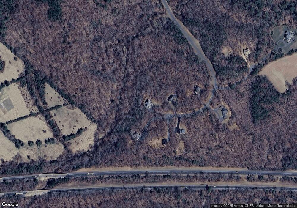
Map
Nearby Homes
- 1098 Pelham Dr
- 1098 Pelham Dr
- 1113 Pelham Dr
- 1098 Pelham Dr
- 996 Pelham Dr
- Lot 24 Pelham Dr Dr
- 996 Pelham Dr
- 1025 Pelham Dr
- Lot 25 Pelham Dr Dr
- 111 Distan Ct
- 81 Beaver Dam Ct
- 91 Beaver Dam Ct
- 298 Westview Ln
- 18 Pelham Dr
- 296 Westview Ln
- 120 Distan Ct
- 285 Westview Ln
- 116 Distan Ct
- 41 Red Maple Ln
- 49 Distan Ct