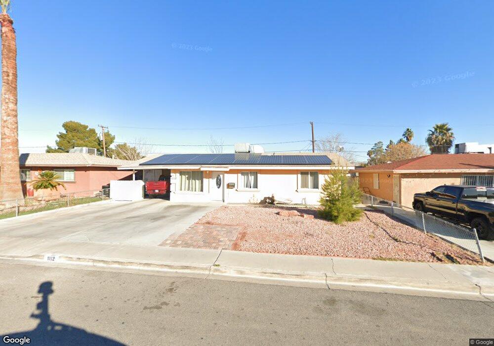
1112 Reynolds Ave North Las Vegas, NV 89030
Downtown North Las Vegas NeighborhoodEstimated Value: $293,000 - $325,000
3
Beds
1
Bath
1,064
Sq Ft
$285/Sq Ft
Est. Value
About This Home
This home is located at 1112 Reynolds Ave, North Las Vegas, NV 89030 and is currently estimated at $302,788, approximately $284 per square foot. 1112 Reynolds Ave is a home located in Clark County with nearby schools including C.P. Squires Elementary School, J.D. Smith Middle School, and Rancho High School.
Ownership History
Date
Name
Owned For
Owner Type
Purchase Details
Closed on
Nov 16, 2002
Sold by
Keefer Barbara Joyce and Maurer Barbara J
Bought by
Caro Jorge Arturo and Caro Sofia
Current Estimated Value
Home Financials for this Owner
Home Financials are based on the most recent Mortgage that was taken out on this home.
Original Mortgage
$80,000
Interest Rate
6.12%
Purchase Details
Closed on
May 7, 1999
Sold by
Estes Robert L and Estes Alice
Bought by
Keefer Barbara J and Maurer Barbara J
Create a Home Valuation Report for This Property
The Home Valuation Report is an in-depth analysis detailing your home's value as well as a comparison with similar homes in the area
Home Values in the Area
Average Home Value in this Area
Purchase History
| Date | Buyer | Sale Price | Title Company |
|---|---|---|---|
| Caro Jorge Arturo | $100,000 | Land Title | |
| Keefer Barbara Joyce | -- | Land Title | |
| Keefer Barbara J | -- | -- |
Source: Public Records
Mortgage History
| Date | Status | Borrower | Loan Amount |
|---|---|---|---|
| Closed | Caro Jorge Arturo | $80,000 |
Source: Public Records
Tax History Compared to Growth
Tax History
| Year | Tax Paid | Tax Assessment Tax Assessment Total Assessment is a certain percentage of the fair market value that is determined by local assessors to be the total taxable value of land and additions on the property. | Land | Improvement |
|---|---|---|---|---|
| 2025 | $691 | $39,169 | $24,850 | $14,319 |
| 2024 | $641 | $39,169 | $24,850 | $14,319 |
| 2023 | $641 | $39,580 | $26,600 | $12,980 |
| 2022 | $593 | $35,739 | $24,150 | $11,589 |
| 2021 | $550 | $31,810 | $21,000 | $10,810 |
| 2020 | $508 | $29,428 | $18,900 | $10,528 |
| 2019 | $476 | $24,481 | $14,350 | $10,131 |
| 2018 | $454 | $21,055 | $11,550 | $9,505 |
| 2017 | $644 | $19,206 | $9,800 | $9,406 |
| 2016 | $426 | $16,459 | $7,350 | $9,109 |
| 2015 | $424 | $14,086 | $5,250 | $8,836 |
| 2014 | $411 | $12,929 | $4,200 | $8,729 |
Source: Public Records
Map
Nearby Homes
- 1819 N Bruce St
- 1812 Roosevelt St
- 1412 Flower Ave
- 1615 Flower Ave
- 2105 Stanley Ave
- 1828 Harvard St
- 1820 Yale St
- 1826 Yale St
- 1905 Harvard St
- 1914 Harvard St
- 2315 Perliter Ave
- 1808 Princeton St
- 1313 N 23rd St
- 0 E Reynolds Ave
- 820 Judson Ave
- 2109 Glider St
- 2120 Glider St
- 4 Britz Cir
- 1809 Brady Ave
- 2005 Jansen Ave
- 1116 Reynolds Ave
- 1108 Reynolds Ave
- 1113 Taylor Ave
- 1117 Taylor Ave
- 1109 Taylor Ave
- 1104 Reynolds Ave
- 1200 Reynolds Ave
- 1105 Taylor Ave
- 1201 Taylor Ave
- 1113 Reynolds Ave
- 1109 Reynolds Ave
- 1117 Reynolds Ave
- 1700 Hoover St
- 1204 Reynolds Ave
- 1105 Reynolds Ave
- 1201 Reynolds Ave
- 1205 Taylor Ave
- 1708 Hoover St
- 1640 Hoover St
- 1208 Reynolds Ave