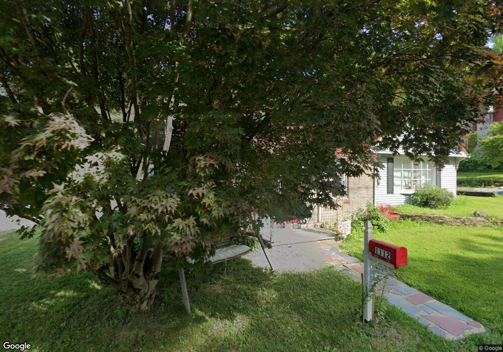
1112 S 10th St Emmaus, PA 18049
Estimated Value: $315,000 - $348,000
2
Beds
1
Bath
1,722
Sq Ft
$192/Sq Ft
Est. Value
About This Home
This home is located at 1112 S 10th St, Emmaus, PA 18049 and is currently estimated at $331,469, approximately $192 per square foot. 1112 S 10th St is a home located in Lehigh County with nearby schools including Lincoln Elementary School, Lower Macungie Middle School, and Emmaus High School.
Ownership History
Date
Name
Owned For
Owner Type
Purchase Details
Closed on
Oct 24, 2002
Sold by
Frank Marion R and Bednar Diane G
Bought by
Albright Jeb I and Albright Kristy L
Current Estimated Value
Home Financials for this Owner
Home Financials are based on the most recent Mortgage that was taken out on this home.
Original Mortgage
$127,900
Outstanding Balance
$53,621
Interest Rate
6.16%
Mortgage Type
Purchase Money Mortgage
Estimated Equity
$277,848
Purchase Details
Closed on
Apr 9, 2001
Sold by
Frank Marion R
Bought by
Frank Marion R and Bednar Shannon D
Purchase Details
Closed on
Feb 21, 1996
Bought by
Frank Marion R
Purchase Details
Closed on
Feb 1, 1992
Bought by
Frank Marion F Trust
Create a Home Valuation Report for This Property
The Home Valuation Report is an in-depth analysis detailing your home's value as well as a comparison with similar homes in the area
Home Values in the Area
Average Home Value in this Area
Purchase History
| Date | Buyer | Sale Price | Title Company |
|---|---|---|---|
| Albright Jeb I | $127,900 | -- | |
| Frank Marion R | -- | -- | |
| Frank Marion R | -- | -- | |
| Frank Marion F Trust | -- | -- |
Source: Public Records
Mortgage History
| Date | Status | Borrower | Loan Amount |
|---|---|---|---|
| Open | Albright Jeb I | $127,900 |
Source: Public Records
Tax History Compared to Growth
Tax History
| Year | Tax Paid | Tax Assessment Tax Assessment Total Assessment is a certain percentage of the fair market value that is determined by local assessors to be the total taxable value of land and additions on the property. | Land | Improvement |
|---|---|---|---|---|
| 2025 | $6,397 | $181,600 | $45,900 | $135,700 |
| 2024 | $5,859 | $181,600 | $45,900 | $135,700 |
| 2023 | $5,745 | $181,600 | $45,900 | $135,700 |
| 2022 | $5,556 | $181,600 | $135,700 | $45,900 |
| 2021 | $5,417 | $181,600 | $45,900 | $135,700 |
| 2020 | $5,370 | $181,600 | $45,900 | $135,700 |
| 2019 | $5,227 | $181,600 | $45,900 | $135,700 |
| 2018 | $5,030 | $181,600 | $45,900 | $135,700 |
| 2017 | $4,875 | $181,600 | $45,900 | $135,700 |
| 2016 | -- | $181,600 | $45,900 | $135,700 |
| 2015 | -- | $181,600 | $45,900 | $135,700 |
| 2014 | -- | $181,600 | $45,900 | $135,700 |
Source: Public Records
Map
Nearby Homes
- 97 Chestnut Hill Rd
- 339 Delong Ave Unit 343
- 659 Broad St
- 618 Broad St
- 521 Wood St
- 657 Walnut St
- 569 Chestnut St Unit 571
- 4109 Eveningstar Rd
- 3430 Gentlewind Way Unit IC 109
- 543 Long St
- 4088 Eveningstar Rd
- 4160 Newport Dr
- 3623 Daylily Dr
- 3810 Allen St
- 120 N 2nd St
- 118 N 2nd St
- 3989 Mink Rd
- 4389 Taviston Ct E
- 5160 Maple Ridge Way
- 3703 Samantha Ln Unit Lot 70
- 1102 S 10th St
- 1122 S 10th St
- 1204 S 10th St
- 1046 S 10th St
- 1044 S 10th St
- 1206 S 10th St
- 1034 S 10th St
- 1202 S 10th St
- 3501 S 7th Street Extension
- 3477 S 7th Street Extension
- 1028 S 10th St
- 1018 S 10th St
- 1212 S 10th St
- 1040 S 10th St
- 3502 S 7th Street Extension
- 527 S 10th St
- 1218 S 10th St
- 525 S 10th St
- 517 S 10th St
- 3421 S 7th Street Extension