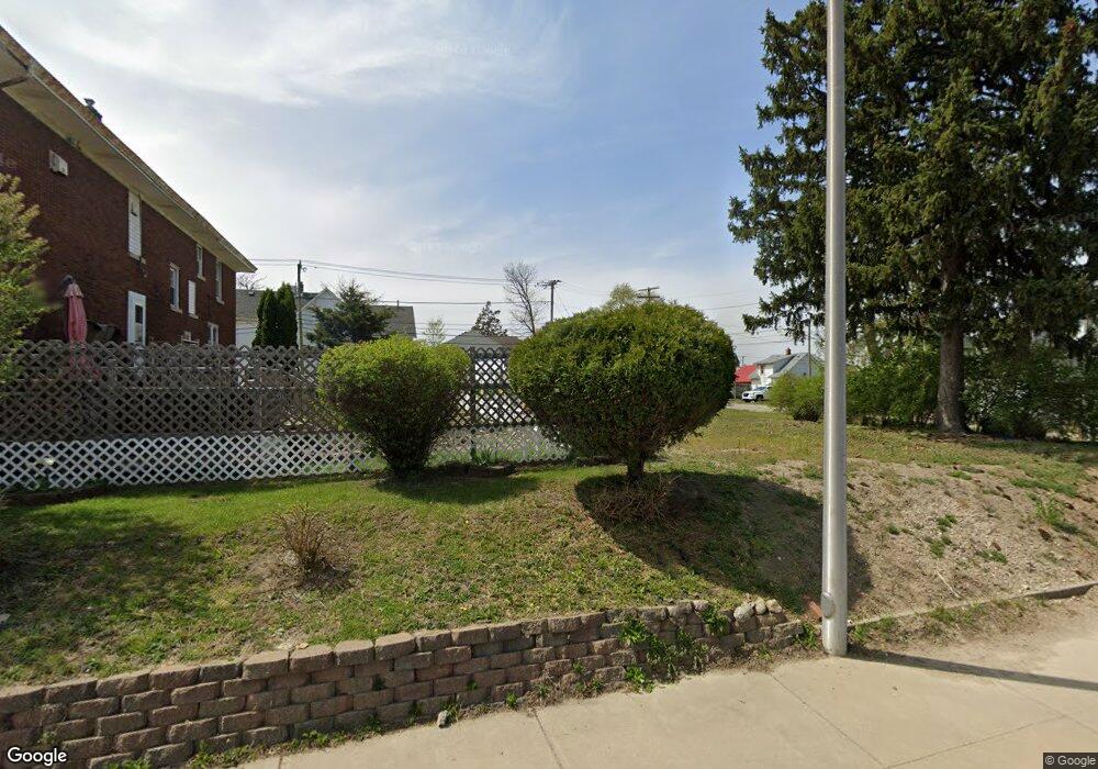
1112 S Anthony Blvd Fort Wayne, IN 46803
East Central NeighborhoodEstimated Value: $52,000 - $114,000
--
Bed
1
Bath
--
Sq Ft
4,792
Sq Ft Lot
About This Home
This home is located at 1112 S Anthony Blvd, Fort Wayne, IN 46803 and is currently estimated at $84,000. 1112 S Anthony Blvd is a home located in Allen County with nearby schools including Forest Park Elementary School, Lakeside Middle School, and North Side High School.
Ownership History
Date
Name
Owned For
Owner Type
Purchase Details
Closed on
Feb 16, 2024
Sold by
Kingwood Property Group Llc and Wayne Johnson Homes Inc
Bought by
Rouyes Property Management Llc
Current Estimated Value
Purchase Details
Closed on
May 5, 2014
Sold by
East Trust
Bought by
Kingwood Llc
Purchase Details
Closed on
Apr 30, 2014
Sold by
Tillotson Jeremy
Bought by
Kingwood Property Group Llc and Wayne Johnson Homes Inc
Purchase Details
Closed on
Apr 23, 2014
Sold by
Allen County Community Development Corp
Bought by
East Central Holdings Trust
Purchase Details
Closed on
Mar 13, 2012
Sold by
Dunn Ro William
Bought by
Dunn Ralph Michael
Create a Home Valuation Report for This Property
The Home Valuation Report is an in-depth analysis detailing your home's value as well as a comparison with similar homes in the area
Home Values in the Area
Average Home Value in this Area
Purchase History
| Date | Buyer | Sale Price | Title Company |
|---|---|---|---|
| Rouyes Property Management Llc | -- | None Listed On Document | |
| Kingwood Llc | $600 | -- | |
| Kingwood Property Group Llc | -- | -- | |
| East Central Holdings Trust | -- | None Available | |
| Dunn Ralph Michael | $1,000 | None Available |
Source: Public Records
Tax History Compared to Growth
Tax History
| Year | Tax Paid | Tax Assessment Tax Assessment Total Assessment is a certain percentage of the fair market value that is determined by local assessors to be the total taxable value of land and additions on the property. | Land | Improvement |
|---|---|---|---|---|
| 2024 | $86 | $8,600 | $8,600 | -- |
| 2023 | $86 | $3,200 | $3,200 | $0 |
| 2022 | $39 | $1,300 | $1,300 | $0 |
| 2021 | $39 | $1,300 | $1,300 | $0 |
| 2020 | $25 | $800 | $800 | $0 |
| 2019 | $10 | $300 | $300 | $0 |
| 2018 | $10 | $300 | $300 | $0 |
| 2017 | $10 | $300 | $300 | $0 |
| 2016 | $9 | $300 | $300 | $0 |
| 2014 | $9 | $300 | $300 | $0 |
| 2013 | $9 | $300 | $300 | $0 |
Source: Public Records
Map
Nearby Homes
- 1242 Grant Ave
- 1217 Fletcher Ave
- 1143 Grant Ave
- 2109 Maumee Ave
- 1419 Summit St
- 2403 S Anthony Blvd Unit 40, 41 & 42
- 1429 Lillie St
- 2513 Winch St
- 801 Kensington Blvd
- 2720 Pennsylvania St
- 2809 Maumee Ave
- 908 Liberty St
- 1208 Fairview Ave
- 1124 Kensington Blvd
- 1206 N Anthony Blvd
- 2816 New Haven Ave
- 929 Edgewater Ave
- 1522 Columbia Ave
- 2335 Smith St
- 3032 McDonald St
- 1120 S Anthony Blvd
- 1715 E Lewis St
- 1730 Maumee Ave
- 1726 Maumee Ave
- 1711 E Lewis St
- 1722 Maumee Ave
- 1707 E Lewis St
- 1712 Maumee Ave
- 1712 E Lewis St
- 1208 S Anthony Blvd
- 1706 Maumee Ave
- 1201 Lillie St
- 1205 Lillie St
- 1111 Lillie St
- 1702 Maumee Ave
- 1205 S Anthony Blvd
- 1214 S Anthony Blvd
- 1625 E Lewis St
- 1215 Lillie St
- 1114 Lillie St