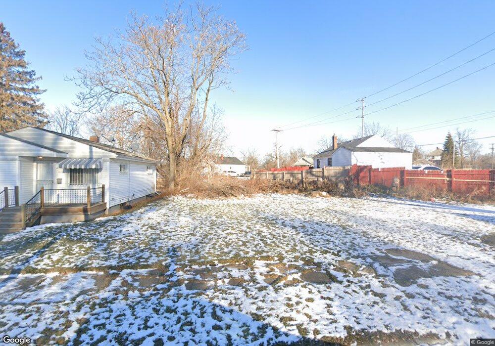
1112 W 8th Ave Flint, MI 48504
Downtown Flint NeighborhoodEstimated Value: $36,000 - $49,000
3
Beds
2
Baths
932
Sq Ft
$46/Sq Ft
Est. Value
About This Home
This home is located at 1112 W 8th Ave, Flint, MI 48504 and is currently estimated at $42,500, approximately $45 per square foot. 1112 W 8th Ave is a home located in Genesee County with nearby schools including Doyle/Ryder School, St John Vianney Catholic School, and St. Paul Lutheran School.
Ownership History
Date
Name
Owned For
Owner Type
Purchase Details
Closed on
Dec 21, 2011
Sold by
Genesee County Treasurer
Bought by
Genesee County Land Bank
Current Estimated Value
Purchase Details
Closed on
Jan 20, 2010
Sold by
Summit Solutions Corp
Bought by
Saroya Parry
Purchase Details
Closed on
Sep 19, 2008
Sold by
Tomcala John and Tomcala Catherine A
Bought by
Capital Equity Partners
Purchase Details
Closed on
Mar 7, 2008
Sold by
The Inter Vivos Trust Agreement Of Charl
Bought by
Tomcala John
Purchase Details
Closed on
Apr 2, 2002
Sold by
Oldanie Charles W and Oldanie Betty A
Bought by
Oldanie Charles W and Oldanie Betty A
Create a Home Valuation Report for This Property
The Home Valuation Report is an in-depth analysis detailing your home's value as well as a comparison with similar homes in the area
Home Values in the Area
Average Home Value in this Area
Purchase History
| Date | Buyer | Sale Price | Title Company |
|---|---|---|---|
| Genesee County Land Bank | -- | None Available | |
| Saroya Parry | $2,700 | None Available | |
| Summit Solutions Corp | $1,850 | None Available | |
| Capital Equity Partners | $4,000 | Cislo Title Co | |
| Tomcala John | -- | Sargents Title Company | |
| Oldanie Charles W | -- | -- |
Source: Public Records
Tax History
| Year | Tax Paid | Tax Assessment Tax Assessment Total Assessment is a certain percentage of the fair market value that is determined by local assessors to be the total taxable value of land and additions on the property. | Land | Improvement |
|---|---|---|---|---|
| 2025 | -- | $0 | $0 | $0 |
| 2024 | -- | $0 | $0 | $0 |
| 2023 | -- | $0 | $0 | $0 |
| 2022 | $0 | $0 | $0 | $0 |
| 2021 | $0 | $0 | $0 | $0 |
| 2020 | $0 | $0 | $0 | $0 |
| 2019 | $0 | $0 | $0 | $0 |
| 2018 | $0 | $0 | $0 | $0 |
| 2017 | $0 | $0 | $0 | $0 |
| 2016 | $0 | $0 | $0 | $0 |
| 2015 | -- | $0 | $0 | $0 |
| 2014 | -- | $0 | $0 | $0 |
| 2012 | -- | $0 | $0 | $0 |
Source: Public Records
Map
Nearby Homes
- 1409 Prospect St
- 1025 Frost St
- 1717 Wolcott St
- 1016 Dupont St
- 1900 Cadillac St
- 913 Perry St
- 2001 Mackin Rd
- 2023 Cadillac St
- 751 Dupont St
- 2410 Sloan St
- 1016 Garland St
- 2026 Monteith St
- 416 W 2nd Ave Unit 4
- 407 W 2nd Ave
- 971 N Chevrolet Ave
- 1645 Seminole St
- 1606 Garland St
- 2302 Mallery St
- 2602 Sloan St
- 1651 N Chevrolet Ave
- 1116 W 8th Ave
- 1101 Stevenson St
- 1201 Stevenson St
- 1118 W 8th Ave
- 1039 Stevenson St
- 1122 W 8th Ave
- 1118 Frost St
- 1209 Stevenson St
- 1035 Stevenson St
- 1128 W 8th Ave
- 1102 Stevenson St
- 1213 Stevenson St
- 1113 W 8th Ave
- 1031 Stevenson St
- 1125 W 8th Ave
- 902 Vincent Ave
- 1127 W 8th Ave
- 1027 Stevenson St
- 1030 Stevenson St
- 1202 Stevenson St
Your Personal Tour Guide
Ask me questions while you tour the home.