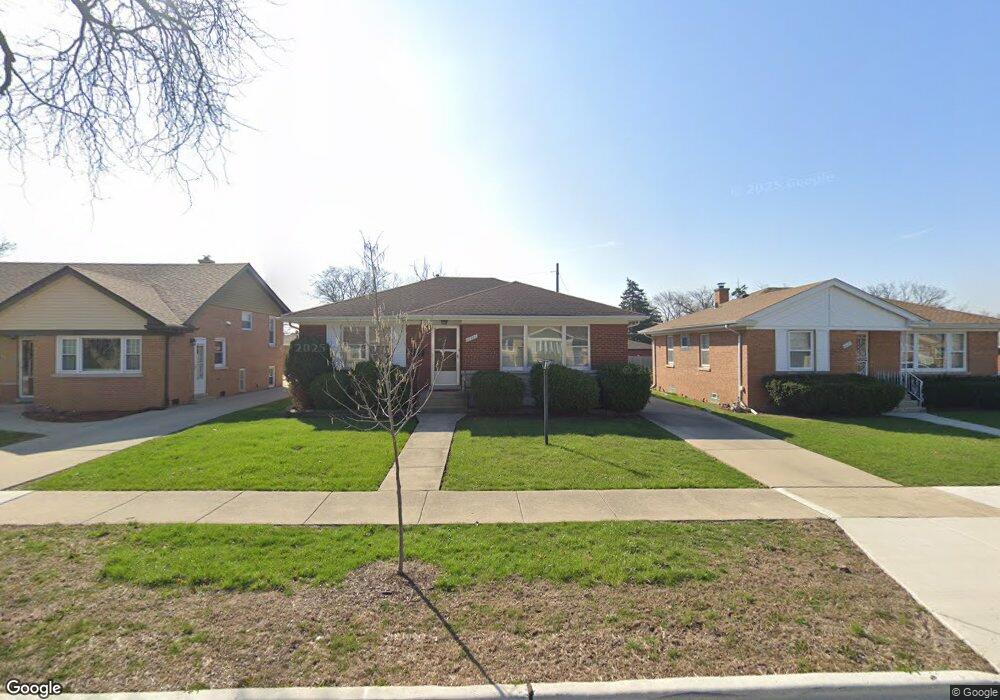
11121 Mandel Ct Westchester, IL 60154
Estimated Value: $342,000 - $352,000
2
Beds
1
Bath
1,086
Sq Ft
$318/Sq Ft
Est. Value
About This Home
This home is located at 11121 Mandel Ct, Westchester, IL 60154 and is currently estimated at $345,108, approximately $317 per square foot. 11121 Mandel Ct is a home located in Cook County with nearby schools including Westchester Primary School, Westchester Intermediate School, and Westchester Middle School.
Ownership History
Date
Name
Owned For
Owner Type
Purchase Details
Closed on
Mar 19, 2004
Sold by
Prevedel Marie K
Bought by
Corvino Joseph
Current Estimated Value
Home Financials for this Owner
Home Financials are based on the most recent Mortgage that was taken out on this home.
Original Mortgage
$150,000
Interest Rate
5.63%
Mortgage Type
Unknown
Create a Home Valuation Report for This Property
The Home Valuation Report is an in-depth analysis detailing your home's value as well as a comparison with similar homes in the area
Home Values in the Area
Average Home Value in this Area
Purchase History
| Date | Buyer | Sale Price | Title Company |
|---|---|---|---|
| Corvino Joseph | -- | Law Title |
Source: Public Records
Mortgage History
| Date | Status | Borrower | Loan Amount |
|---|---|---|---|
| Previous Owner | Corvino Joseph | $150,000 |
Source: Public Records
Tax History Compared to Growth
Tax History
| Year | Tax Paid | Tax Assessment Tax Assessment Total Assessment is a certain percentage of the fair market value that is determined by local assessors to be the total taxable value of land and additions on the property. | Land | Improvement |
|---|---|---|---|---|
| 2024 | $5,346 | $27,000 | $4,620 | $22,380 |
| 2023 | $2,858 | $27,000 | $4,620 | $22,380 |
| 2022 | $2,858 | $22,122 | $3,960 | $18,162 |
| 2021 | $2,693 | $22,122 | $3,960 | $18,162 |
| 2020 | $2,451 | $22,122 | $3,960 | $18,162 |
| 2019 | $2,653 | $21,823 | $3,630 | $18,193 |
| 2018 | $3,977 | $21,823 | $3,630 | $18,193 |
| 2017 | $3,937 | $21,823 | $3,630 | $18,193 |
| 2016 | $2,115 | $17,757 | $3,300 | $14,457 |
| 2015 | $3,602 | $17,757 | $3,300 | $14,457 |
| 2014 | $4,994 | $17,757 | $3,300 | $14,457 |
| 2013 | $1,920 | $21,529 | $3,300 | $18,229 |
Source: Public Records
Map
Nearby Homes
- 1847 Boeger Ave
- 11157 Shaw St
- 1948 Boeger Ave
- 1905 S Wolf Rd Unit 302
- 2130 Mandel Ave
- 1413 Highridge Pkwy
- 1811 Downing Ave
- 2300 Boeger Ave
- 2205 Mayfair Ave
- 1860 Buckingham Ave
- 1326 Heidorn Ave
- 1327 S Wolf Rd
- 10630 W Cermak Rd Unit 2E
- 11140 Windsor Dr
- 10567 Waterford Dr
- 1242 Heidorn Ave
- 2337 Kensington Ave
- 2401 Mayfair Ave
- 10531 Camelot St
- 10916 Kingston St
- 11117 Mandel Ct
- 11125 Mandel Ct
- 11113 Mandel Ct
- 112266 Mandel Ct
- 11116 Boeger Ct
- 11129 Mandel Ct
- 1823 Boeger Ave
- 11112 Boeger Ct
- 11120 Boeger Ct
- 11109 Mandel Ct
- 1827 Boeger Ave
- 11108 Boeger Ct
- 11122 Mandel Ct
- 11126 Mandel Ct
- 11118 Mandel Ct
- 11104 Boeger Ct
- 11132 Mandel Ct
- 11105 Mandel Ct
- 11124 Boeger Ct
- 11114 Mandel Ct