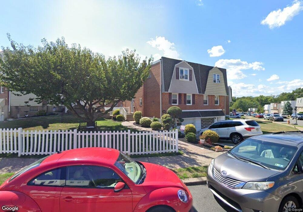
11122 Kirby Dr Philadelphia, PA 19154
Northeast Philadelphia NeighborhoodEstimated Value: $343,000 - $353,398
--
Bed
--
Bath
1,184
Sq Ft
$294/Sq Ft
Est. Value
About This Home
This home is located at 11122 Kirby Dr, Philadelphia, PA 19154 and is currently estimated at $348,350, approximately $294 per square foot. 11122 Kirby Dr is a home with nearby schools including A. L. Fitzpatrick School, George Washington High School, and Our Lady of Calvary School.
Ownership History
Date
Name
Owned For
Owner Type
Purchase Details
Closed on
May 6, 2005
Sold by
Fasciocco Robert and Estate Of Edna M Fasciocco
Bought by
Thurman Michael and Stezzi Angela
Current Estimated Value
Home Financials for this Owner
Home Financials are based on the most recent Mortgage that was taken out on this home.
Original Mortgage
$159,920
Outstanding Balance
$84,505
Interest Rate
6.05%
Mortgage Type
Fannie Mae Freddie Mac
Estimated Equity
$263,845
Create a Home Valuation Report for This Property
The Home Valuation Report is an in-depth analysis detailing your home's value as well as a comparison with similar homes in the area
Home Values in the Area
Average Home Value in this Area
Purchase History
| Date | Buyer | Sale Price | Title Company |
|---|---|---|---|
| Thurman Michael | $199,900 | Security Search & Abstract C |
Source: Public Records
Mortgage History
| Date | Status | Borrower | Loan Amount |
|---|---|---|---|
| Open | Thurman Michael | $159,920 |
Source: Public Records
Tax History Compared to Growth
Tax History
| Year | Tax Paid | Tax Assessment Tax Assessment Total Assessment is a certain percentage of the fair market value that is determined by local assessors to be the total taxable value of land and additions on the property. | Land | Improvement |
|---|---|---|---|---|
| 2025 | $3,729 | $317,200 | $63,440 | $253,760 |
| 2024 | $3,729 | $317,200 | $63,440 | $253,760 |
| 2023 | $3,729 | $266,400 | $53,280 | $213,120 |
| 2022 | $2,522 | $221,400 | $53,280 | $168,120 |
| 2021 | $3,152 | $0 | $0 | $0 |
| 2020 | $3,152 | $0 | $0 | $0 |
| 2019 | $2,968 | $0 | $0 | $0 |
| 2018 | $2,233 | $0 | $0 | $0 |
| 2017 | $2,653 | $0 | $0 | $0 |
| 2016 | $2,233 | $0 | $0 | $0 |
| 2015 | $2,137 | $0 | $0 | $0 |
| 2014 | -- | $189,500 | $156,433 | $33,067 |
| 2012 | -- | $22,496 | $3,680 | $18,816 |
Source: Public Records
Map
Nearby Homes
- 11125 Kirby Dr
- 12008 Elmore Rd
- 11935 Covert Rd
- 4122 Fairdale Rd
- 3798 Chalfont Dr
- 3865 Alberta Place
- 4208 Greenmount Rd
- 4207 Fairdale Rd
- 12011 Templeton Dr
- 3850 Woodhaven Rd Unit 302
- 3850 Woodhaven Rd Unit 504
- 3850 Woodhaven Rd Unit 1006
- 3850 00 Woodhaven Rd Unit 907
- 3268 Tara Rd
- 10935 Carey Plaza
- 4374 Deerpath Ln
- 12025 Waldemire Dr
- 3674 Salina Rd
- 3242 Rhett Rd
- 4274 Lawnside Rd
- 3832 Ronnald Dr
- 11120 Kirby Dr
- 11118 Kirby Dr
- 3828 Ronnald Dr
- 3835 Charteris Rd
- 3833 Charteris Rd
- 11127 Kirby Dr
- 3873 Ronnald Dr
- 3826 Ronnald Dr
- 11123 Kirby Dr
- 3831 Charteris Rd
- 3824 Ronnald Dr
- 11121 Kirby Dr
- 3871 Ronnald Dr
- 11115 Kirby Dr
- 3869 Ronnald Dr
- 3867 Ronnald Dr
- 3829 Charteris Rd
- 11117 Kirby Dr
- 11129 Kirby Dr