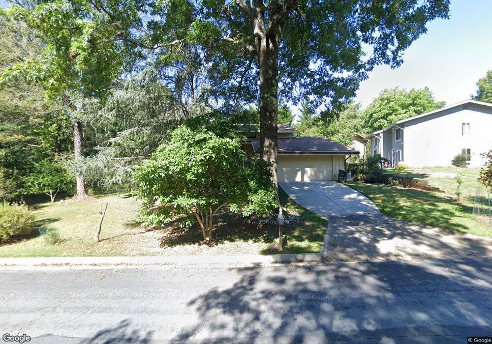
11124 Broad Green Dr Potomac, MD 20854
Estimated Value: $1,044,723 - $1,228,000
--
Bed
3
Baths
2,415
Sq Ft
$466/Sq Ft
Est. Value
About This Home
This home is located at 11124 Broad Green Dr, Potomac, MD 20854 and is currently estimated at $1,124,431, approximately $465 per square foot. 11124 Broad Green Dr is a home located in Montgomery County with nearby schools including Wayside Elementary School, Herbert Hoover Middle School, and Winston Churchill High School.
Ownership History
Date
Name
Owned For
Owner Type
Purchase Details
Closed on
Jan 12, 1994
Sold by
Perlstein R A
Bought by
Keerikatte V
Current Estimated Value
Home Financials for this Owner
Home Financials are based on the most recent Mortgage that was taken out on this home.
Original Mortgage
$259,000
Interest Rate
7.22%
Create a Home Valuation Report for This Property
The Home Valuation Report is an in-depth analysis detailing your home's value as well as a comparison with similar homes in the area
Home Values in the Area
Average Home Value in this Area
Purchase History
| Date | Buyer | Sale Price | Title Company |
|---|---|---|---|
| Keerikatte V | $370,000 | -- |
Source: Public Records
Mortgage History
| Date | Status | Borrower | Loan Amount |
|---|---|---|---|
| Closed | Keerikatte V | $259,000 | |
| Closed | Keerikatte V | $60,000 |
Source: Public Records
Tax History Compared to Growth
Tax History
| Year | Tax Paid | Tax Assessment Tax Assessment Total Assessment is a certain percentage of the fair market value that is determined by local assessors to be the total taxable value of land and additions on the property. | Land | Improvement |
|---|---|---|---|---|
| 2025 | $9,526 | $824,600 | $427,700 | $396,900 |
| 2024 | $9,526 | $788,633 | $0 | $0 |
| 2023 | $0 | $752,667 | $0 | $0 |
| 2022 | $7,624 | $716,700 | $427,700 | $289,000 |
| 2021 | $7,432 | $711,567 | $0 | $0 |
| 2020 | $7,432 | $706,433 | $0 | $0 |
| 2019 | $7,359 | $701,300 | $427,700 | $273,600 |
| 2018 | $7,365 | $701,300 | $427,700 | $273,600 |
| 2017 | $7,879 | $701,300 | $0 | $0 |
| 2016 | -- | $719,100 | $0 | $0 |
| 2015 | $6,946 | $708,267 | $0 | $0 |
| 2014 | $6,946 | $697,433 | $0 | $0 |
Source: Public Records
Map
Nearby Homes
- 10132 Colebrook Ave
- 10104 Colebrook Ave
- 10823 Lockland Rd
- 10813 Lockland Rd
- 11452 Beechgrove Ln
- 9537 Fox Hollow Dr
- 10809 S Glen Rd
- 11521 Twining Ln
- 11613 Bedfordshire Ave
- 9420 Lost Trail Way
- 10816 Barn Wood Ln
- 10821 Barn Wood Ln
- 11733 Ambleside Dr
- 9210 Marseille Dr
- 11013 Riverwood Dr
- 11512 Le Havre Dr
- 9118 Bells Mill Rd
- 9914 Woodford Rd
- 11905 Ambleside Dr
- 10222 Iron Gate Rd
- 11100 Korman Dr
- 11104 Korman Dr
- 11108 Korman Dr
- 11112 Korman Dr
- 11116 Korman Dr
- 11100 Broad Green Dr
- 11201 Blackhorse Ct
- 11013 Broad Green Dr
- 11101 Broad Green Dr
- 11120 Korman Dr
- 11113 Korman Dr
- 10901 Broad Green Terrace
- 11117 Korman Dr
- 11104 Broad Green Dr
- 11105 Broad Green Dr
- 11009 Broad Green Dr
- 11121 Korman Dr
- 11205 Blackhorse Ct
- 10905 Broad Green Terrace
- 11124 Korman Dr