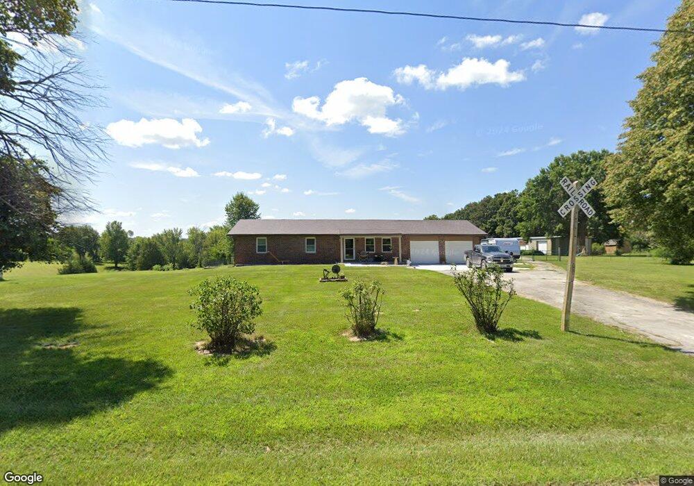
11127 Pershing Rd Hannibal, MO 63401
Estimated Value: $199,000 - $338,000
3
Beds
3
Baths
1,400
Sq Ft
$211/Sq Ft
Est. Value
About This Home
This home is located at 11127 Pershing Rd, Hannibal, MO 63401 and is currently estimated at $295,106, approximately $210 per square foot. 11127 Pershing Rd is a home with nearby schools including Hannibal Senior High School and Holy Family School.
Ownership History
Date
Name
Owned For
Owner Type
Purchase Details
Closed on
Sep 18, 2025
Sold by
Helbing Timothy E and Helbing Debra S
Bought by
Helbing Family Trust
Current Estimated Value
Purchase Details
Closed on
Nov 16, 2012
Sold by
Estate Of Peggy G Almond
Bought by
Helbing Timothy E and Helbing Debra S
Home Financials for this Owner
Home Financials are based on the most recent Mortgage that was taken out on this home.
Original Mortgage
$62,500
Interest Rate
3.4%
Mortgage Type
Stand Alone First
Create a Home Valuation Report for This Property
The Home Valuation Report is an in-depth analysis detailing your home's value as well as a comparison with similar homes in the area
Purchase History
| Date | Buyer | Sale Price | Title Company |
|---|---|---|---|
| Helbing Family Trust | -- | None Listed On Document | |
| Helbing Timothy E | $87,500 | Accurate Land Title Company |
Source: Public Records
Mortgage History
| Date | Status | Borrower | Loan Amount |
|---|---|---|---|
| Previous Owner | Helbing Timothy E | $62,500 |
Source: Public Records
Tax History
| Year | Tax Paid | Tax Assessment Tax Assessment Total Assessment is a certain percentage of the fair market value that is determined by local assessors to be the total taxable value of land and additions on the property. | Land | Improvement |
|---|---|---|---|---|
| 2025 | $1,603 | $29,960 | $2,830 | $27,130 |
| 2024 | $1,559 | $26,170 | $2,470 | $23,700 |
| 2023 | $1,404 | $26,170 | $2,470 | $23,700 |
| 2022 | $1,403 | $26,170 | $2,470 | $23,700 |
| 2021 | $1,399 | $26,170 | $2,470 | $23,700 |
| 2020 | $1,430 | $26,170 | $2,470 | $23,700 |
| 2019 | $1,433 | $26,170 | $2,470 | $23,700 |
| 2018 | $1,365 | $24,800 | $2,470 | $22,330 |
| 2017 | $1,325 | $24,800 | $2,470 | $22,330 |
| 2016 | $1,312 | $25,100 | $2,470 | $22,630 |
| 2015 | -- | $24,120 | $2,470 | $21,650 |
| 2014 | -- | $20,990 | $1,520 | $19,470 |
| 2013 | -- | $21,550 | $1,520 | $20,030 |
Source: Public Records
Map
Nearby Homes
- 11252 Pershing Rd
- 54291 Johnny Trail
- 10321 Old Hwy 79
- 10321 Old 79
- 58079 Dow Trail Tract 1
- 58079 Dow Trail Tract 2
- 1620 Fulton Ave
- 1429 Park Ave
- 1224 Valley St
- 1204 Lindell Ave
- 1121 Union St
- 1116 Park Ave
- 1013 Fulton Ave
- 2915 Market St
- 406 Riverside St
- 0 Lot 50 Minnow Creek Subdvsn Unit MIS26004415
- 0 Lot 48 Minnow Creek Subdvsn Unit MIS26004410
- 321 S Griffith St
- 1801 Hope St
- 1241 Church St
- 11149 Pershing Rd
- 11156 Pershing Rd
- 11103 Pershing Rd
- 11183 Pershing Rd
- 11071 Pershing Rd
- 11215 Pershing Rd
- 11038 Pershing Rd
- 11023 Pershing Rd
- 0 Pershing Rd Unit 13032836
- 0 Pershing Rd Unit 14018799
- 11268 Pershing Rd
- 10995 Old 79
- 10971 Old 79
- 10916 Pershing Rd
- 11068 Old 79 Unit 79
- 11068 Old 79
- 11021 Pershing Rd
- 10927 Pershing Rd
- 11124 Old 79
- 11157 Old 79
Your Personal Tour Guide
Ask me questions while you tour the home.