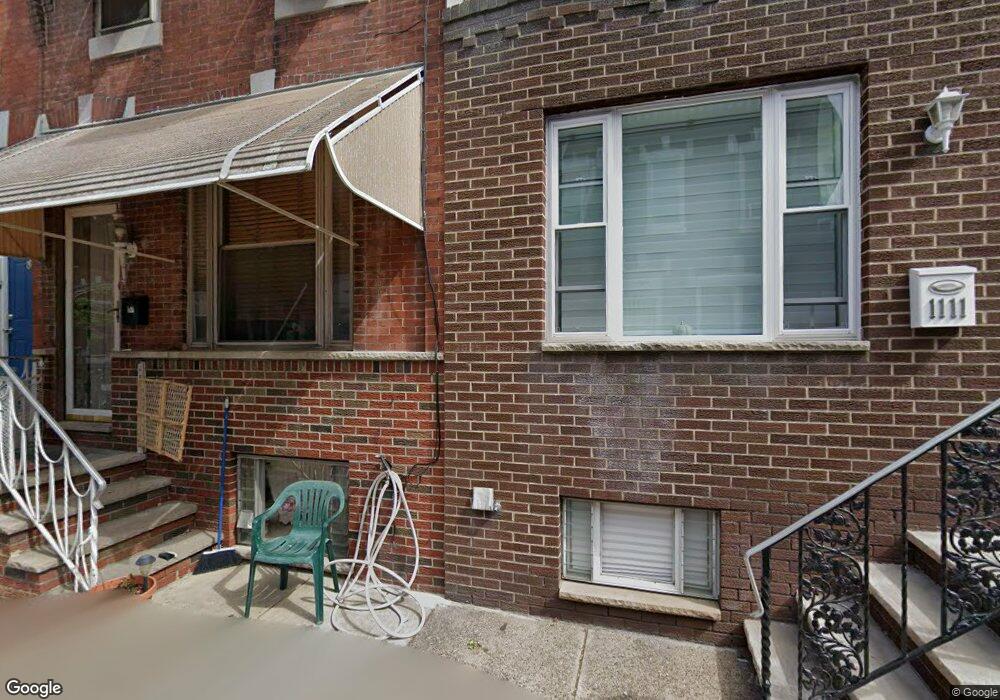
1113 Daly St Philadelphia, PA 19148
South Philadelphia East NeighborhoodEstimated Value: $229,000 - $247,000
3
Beds
1
Bath
924
Sq Ft
$255/Sq Ft
Est. Value
About This Home
This home is located at 1113 Daly St, Philadelphia, PA 19148 and is currently estimated at $235,389, approximately $254 per square foot. 1113 Daly St is a home located in Philadelphia County with nearby schools including South Philadelphia High School, Key Francis Scott School, and Philadelphia Performing Arts Charter School.
Ownership History
Date
Name
Owned For
Owner Type
Purchase Details
Closed on
Sep 9, 2010
Sold by
Retallick Dawn T and Rhoades Dawn M
Bought by
Rhoades Dawn M and Rhoades Michael
Current Estimated Value
Home Financials for this Owner
Home Financials are based on the most recent Mortgage that was taken out on this home.
Original Mortgage
$56,000
Interest Rate
4.37%
Mortgage Type
New Conventional
Create a Home Valuation Report for This Property
The Home Valuation Report is an in-depth analysis detailing your home's value as well as a comparison with similar homes in the area
Home Values in the Area
Average Home Value in this Area
Purchase History
| Date | Buyer | Sale Price | Title Company |
|---|---|---|---|
| Rhoades Dawn M | -- | None Available |
Source: Public Records
Mortgage History
| Date | Status | Borrower | Loan Amount |
|---|---|---|---|
| Closed | Rhoades Dawn M | $56,000 |
Source: Public Records
Tax History Compared to Growth
Tax History
| Year | Tax Paid | Tax Assessment Tax Assessment Total Assessment is a certain percentage of the fair market value that is determined by local assessors to be the total taxable value of land and additions on the property. | Land | Improvement |
|---|---|---|---|---|
| 2025 | $2,660 | $210,300 | $42,060 | $168,240 |
| 2024 | $2,660 | $210,300 | $42,060 | $168,240 |
| 2023 | $2,660 | $190,000 | $38,000 | $152,000 |
| 2022 | $2,500 | $190,000 | $38,000 | $152,000 |
| 2021 | $2,500 | $0 | $0 | $0 |
| 2020 | $2,500 | $0 | $0 | $0 |
| 2019 | $2,307 | $0 | $0 | $0 |
| 2018 | $1,648 | $0 | $0 | $0 |
| 2017 | $1,648 | $0 | $0 | $0 |
| 2016 | $1,648 | $0 | $0 | $0 |
| 2015 | $1,575 | $0 | $0 | $0 |
| 2014 | -- | $117,500 | $11,056 | $106,444 |
| 2012 | -- | $11,904 | $1,206 | $10,698 |
Source: Public Records
Map
Nearby Homes
- 1142 Tree St
- 1117 Daly St
- 1133 Winton St
- 1116 Cantrell St
- 1106 Cantrell St
- 1018 Jackson St
- 1128 Wolf St
- 2240 S 12th St
- 2208 S 10th St
- 1105 Snyder Ave
- 1021 Cantrell St
- 1037 Snyder Ave
- 1115 Fitzgerald St
- 2225 S 13th St
- 952 Winton St
- 2316 S Alder St
- 1133 Mercy St
- 639 Cantrell St
- 1218 Durfor St
- 1234 Snyder Ave