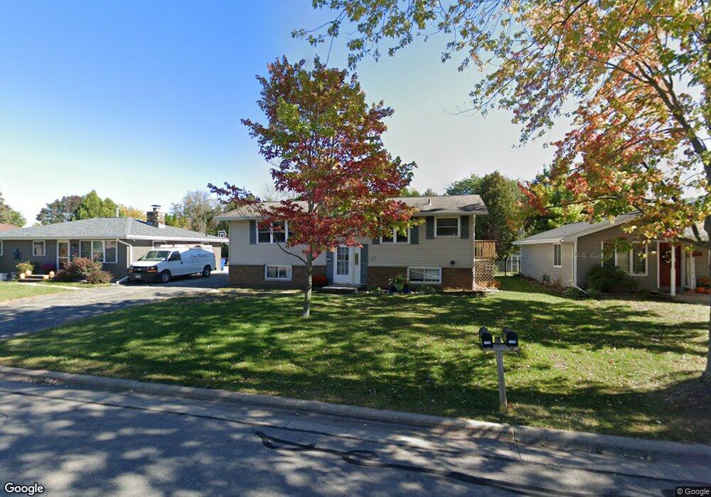
1113 Greenwood Dr Menasha, WI 54952
Estimated Value: $258,325 - $283,000
3
Beds
2
Baths
1,200
Sq Ft
$225/Sq Ft
Est. Value
About This Home
This home is located at 1113 Greenwood Dr, Menasha, WI 54952 and is currently estimated at $270,081, approximately $225 per square foot. 1113 Greenwood Dr is a home located in Winnebago County with nearby schools including Menasha High School, Stephen Foster Elementary Charter School, and St. John the Baptist School.
Ownership History
Date
Name
Owned For
Owner Type
Purchase Details
Closed on
Sep 22, 2006
Sold by
Johnson Jason J and Johnson Pamela L
Bought by
Griffin Wesley R
Current Estimated Value
Home Financials for this Owner
Home Financials are based on the most recent Mortgage that was taken out on this home.
Original Mortgage
$123,093
Outstanding Balance
$73,194
Interest Rate
6.49%
Mortgage Type
Purchase Money Mortgage
Estimated Equity
$196,887
Create a Home Valuation Report for This Property
The Home Valuation Report is an in-depth analysis detailing your home's value as well as a comparison with similar homes in the area
Home Values in the Area
Average Home Value in this Area
Purchase History
| Date | Buyer | Sale Price | Title Company |
|---|---|---|---|
| Griffin Wesley R | $126,900 | None Available |
Source: Public Records
Mortgage History
| Date | Status | Borrower | Loan Amount |
|---|---|---|---|
| Open | Griffin Wesley R | $123,093 |
Source: Public Records
Tax History Compared to Growth
Tax History
| Year | Tax Paid | Tax Assessment Tax Assessment Total Assessment is a certain percentage of the fair market value that is determined by local assessors to be the total taxable value of land and additions on the property. | Land | Improvement |
|---|---|---|---|---|
| 2024 | $3,784 | $220,800 | $21,500 | $199,300 |
| 2023 | $3,596 | $163,700 | $19,000 | $144,700 |
| 2022 | $3,487 | $163,700 | $19,000 | $144,700 |
| 2021 | $3,289 | $151,200 | $19,000 | $132,200 |
| 2020 | $3,514 | $137,900 | $19,000 | $118,900 |
| 2019 | $3,162 | $137,900 | $19,000 | $118,900 |
| 2018 | $3,087 | $119,400 | $18,000 | $101,400 |
| 2017 | $3,072 | $119,400 | $18,000 | $101,400 |
| 2016 | $3,017 | $119,400 | $18,000 | $101,400 |
| 2015 | $3,159 | $119,400 | $18,000 | $101,400 |
| 2014 | $3,142 | $119,400 | $18,000 | $101,400 |
| 2013 | $3,176 | $119,400 | $18,000 | $101,400 |
Source: Public Records
Map
Nearby Homes
- 1124 Woodland Dr
- 1008 Meadowview Dr
- 1025 Woodland Dr
- 1121 Alva St
- 1208 Grove St
- 910 Meadowview Dr
- 1236 Meadowview Dr
- 1040 Grove St
- 845 Woodland Dr
- 1269 Manitowoc Rd
- 1029 London St
- 1103 Stead Dr
- 828 Arthur St
- 1450 Plank Rd
- 887 W Airport Rd
- 1307 Wittmann Park Ln
- 958 Ann St
- 1079 Bartlein Ct
- 0 Wittmann Dr Unit 50300070
- 0 Wittmann Dr Unit 50300069
- 1117 Greenwood Dr
- 1109 Greenwood Dr
- 1121 Greenwood Dr
- 1105 Greenwood Dr
- 1112 Greenwood Dr
- 1108 Greenwood Dr
- 1116 Greenwood Dr
- 1104 Greenwood Dr
- 1120 Greenwood Dr
- 1129 Greenwood Dr
- 1304 E Airport Rd
- 1233 E Airport Rd
- 1225 E Airport Rd
- 1308 E Airport Rd
- 1224 E Airport Rd
- 1124 Greenwood Dr
- 1108 Lawndale Ct
- 1229 E Airport Rd
- 1116 Lawndale Ct
- 1140 Lawndale Dr