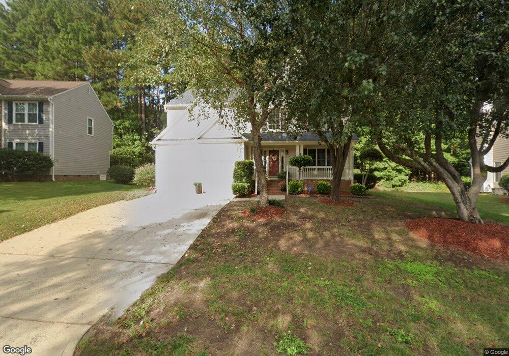
1113 Gunston Ln Durham, NC 27703
Eastern Durham NeighborhoodEstimated Value: $411,849 - $444,000
4
Beds
3
Baths
2,330
Sq Ft
$185/Sq Ft
Est. Value
About This Home
This home is located at 1113 Gunston Ln, Durham, NC 27703 and is currently estimated at $431,462, approximately $185 per square foot. 1113 Gunston Ln is a home located in Durham County with nearby schools including Oak Grove Elementary, John W Neal Middle School, and Southern School of Energy & Sustainability.
Ownership History
Date
Name
Owned For
Owner Type
Purchase Details
Closed on
Mar 7, 2003
Sold by
Sanders George E and Sanders Tonya H
Bought by
Sanders George E and Sanders Tonya H
Current Estimated Value
Home Financials for this Owner
Home Financials are based on the most recent Mortgage that was taken out on this home.
Original Mortgage
$127,000
Interest Rate
5.88%
Create a Home Valuation Report for This Property
The Home Valuation Report is an in-depth analysis detailing your home's value as well as a comparison with similar homes in the area
Home Values in the Area
Average Home Value in this Area
Purchase History
| Date | Buyer | Sale Price | Title Company |
|---|---|---|---|
| Sanders George E | -- | -- |
Source: Public Records
Mortgage History
| Date | Status | Borrower | Loan Amount |
|---|---|---|---|
| Closed | Sanders George E | $127,000 |
Source: Public Records
Tax History Compared to Growth
Tax History
| Year | Tax Paid | Tax Assessment Tax Assessment Total Assessment is a certain percentage of the fair market value that is determined by local assessors to be the total taxable value of land and additions on the property. | Land | Improvement |
|---|---|---|---|---|
| 2025 | $3,685 | $416,688 | $64,297 | $352,391 |
| 2024 | $2,673 | $236,662 | $46,912 | $189,750 |
| 2023 | $2,511 | $236,662 | $46,912 | $189,750 |
| 2022 | $3,029 | $236,662 | $46,912 | $189,750 |
| 2021 | $3,015 | $236,662 | $46,912 | $189,750 |
| 2020 | $2,944 | $236,662 | $46,912 | $189,750 |
| 2019 | $2,944 | $236,662 | $46,912 | $189,750 |
| 2018 | $2,763 | $203,670 | $34,402 | $169,268 |
| 2017 | $2,742 | $203,670 | $34,402 | $169,268 |
| 2016 | $2,650 | $203,670 | $34,402 | $169,268 |
| 2015 | $2,796 | $201,972 | $39,133 | $162,839 |
| 2014 | $2,796 | $201,972 | $39,133 | $162,839 |
Source: Public Records
Map
Nearby Homes
- 715 Southshore Pkwy
- 615 Southshore Pkwy
- 128 Leacroft Way
- 16 Vestrial Ln
- 537 Crossview Ln
- 503 Bellmeade Bay Dr
- 1 Kings Grant Ct
- 301 Sylvias Ct
- 2117 Fletchers Ridge Dr
- 208 Lick Creek Ln
- 622 Sherron Rd
- 610 Sherron Rd
- 519 Keith St
- 1107 High Fox Dr
- 506 Currin St
- 6 Dawson Ct
- 1104 Constellation Cir
- 1100 Constellation Cir
- 1062 Constellation Cir
- 30 Plumleaf Ln
- 1111 Gunston Ln
- 1115 Gunston Ln
- 1101 Nichols Farm Dr
- 1 Dalidary Ct
- 1103 Nichols Farm Dr
- 1112 Gunston Ln
- 1116 Gunston Ln
- 4 Dalidary Ct
- 1108 Gunston Ln
- 1108 Gunstone Ln
- 1105 Nichols Farm Dr
- 711 Southshore Pkwy
- 1107 Nichols Farm Dr
- 713 Southshore Pkwy
- 1104 Gunston Ln
- 1109 Nichols Farm Dr
- 5 Dalidary Ct
- 709 Southshore Pkwy
- 1104 Nichols Farm Dr
- 5 Cameroons Place