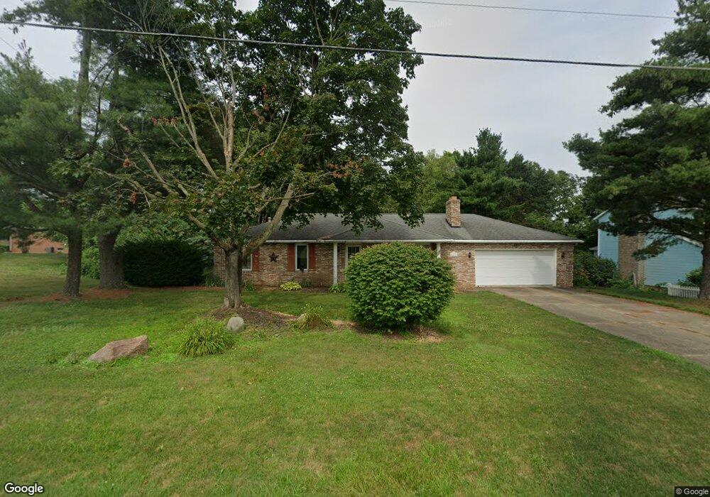
1113 Meese Rd Louisville, OH 44641
Estimated Value: $242,886 - $276,000
4
Beds
2
Baths
1,288
Sq Ft
$199/Sq Ft
Est. Value
About This Home
This home is located at 1113 Meese Rd, Louisville, OH 44641 and is currently estimated at $256,722, approximately $199 per square foot. 1113 Meese Rd is a home located in Stark County with nearby schools including Louisville High School and St. Thomas Aquinas High School & Middle School.
Ownership History
Date
Name
Owned For
Owner Type
Purchase Details
Closed on
Jun 7, 2002
Sold by
Devan Dennis M and Devan Marsha K
Bought by
Luck Marie A
Current Estimated Value
Purchase Details
Closed on
Aug 10, 2000
Sold by
Brahler Thomas A and Brahler Sandra K
Bought by
Devan Dennis M and Devan Marsha K
Home Financials for this Owner
Home Financials are based on the most recent Mortgage that was taken out on this home.
Original Mortgage
$118,500
Interest Rate
8.12%
Mortgage Type
Purchase Money Mortgage
Create a Home Valuation Report for This Property
The Home Valuation Report is an in-depth analysis detailing your home's value as well as a comparison with similar homes in the area
Home Values in the Area
Average Home Value in this Area
Purchase History
| Date | Buyer | Sale Price | Title Company |
|---|---|---|---|
| Luck Marie A | $153,900 | -- | |
| Devan Dennis M | $148,500 | Mk Title Agency Of Stark Cou |
Source: Public Records
Mortgage History
| Date | Status | Borrower | Loan Amount |
|---|---|---|---|
| Previous Owner | Devan Dennis M | $118,500 |
Source: Public Records
Tax History Compared to Growth
Tax History
| Year | Tax Paid | Tax Assessment Tax Assessment Total Assessment is a certain percentage of the fair market value that is determined by local assessors to be the total taxable value of land and additions on the property. | Land | Improvement |
|---|---|---|---|---|
| 2025 | -- | $70,420 | $17,290 | $53,130 |
| 2024 | -- | $70,420 | $17,290 | $53,130 |
| 2023 | $2,392 | $64,820 | $16,310 | $48,510 |
| 2022 | $2,415 | $64,820 | $16,310 | $48,510 |
| 2021 | $2,422 | $64,820 | $16,310 | $48,510 |
| 2020 | $1,948 | $57,720 | $14,700 | $43,020 |
| 2019 | $1,924 | $56,910 | $14,700 | $42,210 |
| 2018 | $1,917 | $56,910 | $14,700 | $42,210 |
| 2017 | $1,719 | $50,410 | $12,920 | $37,490 |
| 2016 | $1,754 | $50,410 | $12,920 | $37,490 |
| 2015 | $1,759 | $50,410 | $12,920 | $37,490 |
| 2014 | $1,582 | $43,580 | $11,170 | $32,410 |
| 2013 | $795 | $43,580 | $11,170 | $32,410 |
Source: Public Records
Map
Nearby Homes
- 2110 Edmar St
- 1812 E Broad St
- 1715 High St
- 3390 Meese Rd NE
- 2015 E Main St
- 641 S Nickelplate St
- 308 Superior St
- 520 S Silver St
- 908 Sand Lot Cir
- 0 Michigan Blvd
- 728 E Broad St
- 8225 Georgetown St
- 510 S Bauman Ct
- 204 E Broad St
- 107 E Broad St
- 325 Lincoln Ave
- 1170 Winding Ridge Ave
- 1702 View Pointe Ave
- 910 Crosswyck Cir
- 1639 Horizon Dr
- 1125 Meese Rd
- 1025 Meese Rd
- 2219 Edmar St
- 1130 Century Hill St
- 1100 Century Hill St
- 1011 Meese Rd NE
- 2207 Edmar St
- 1090 Century Hill St
- 2230 Edmar St
- 2218 Edmar St
- 1076 Century Hill St
- 930 Meese Rd NE
- 1208 Century Hill St
- 1064 Century Hill St
- 1976 Opal St
- 1223 Meese Rd
- 2131 Edmar St
- 1977 Opal St
- 1220 Century Hill St