Estimated Value: $49,030 - $58,000
1
Bed
1
Bath
456
Sq Ft
$118/Sq Ft
Est. Value
About This Home
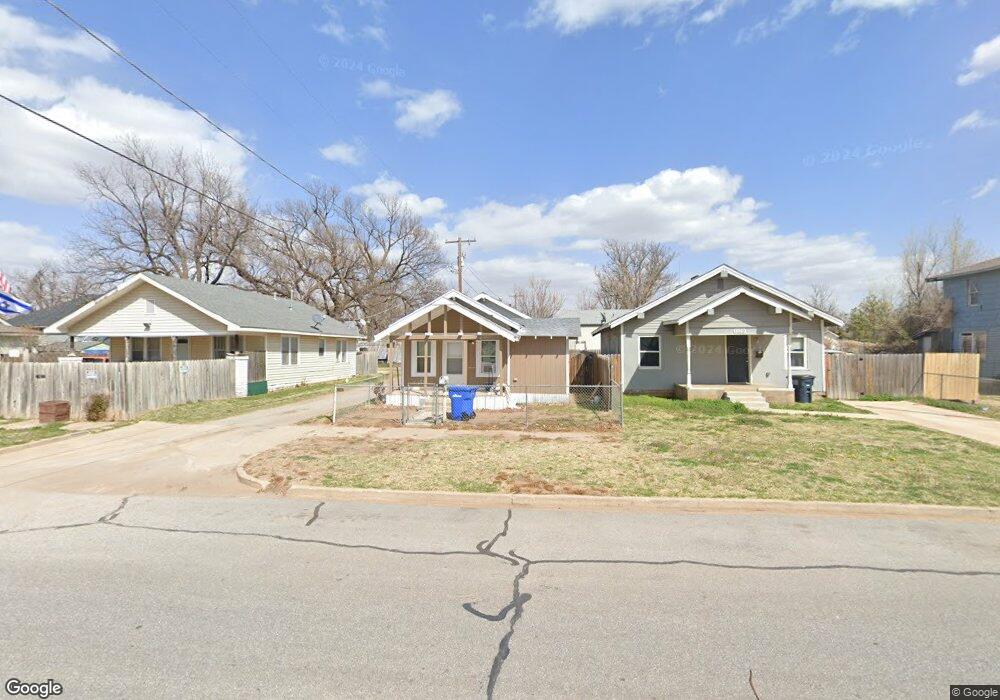
This home is located at 1113 N Independence St, Enid, OK 73701 and is currently estimated at $54,008, approximately $118 per square foot. 1113 N Independence St is a home located in Garfield County with nearby schools including Monroe Elementary School, Emerson Middle School, and Enid High School.
Ownership History
Date
Name
Owned For
Owner Type
Purchase Details
Closed on
Jun 2, 2025
Sold by
Smith Sue and Smith Khalousi S
Bought by
Mavity Khalousi S and Mavity Delbert
Current Estimated Value
Purchase Details
Closed on
Jan 3, 2020
Sold by
Carrilod Norberto Martinez
Bought by
Smith Sue and Khalausi Sl
Purchase Details
Closed on
Jul 2, 2014
Sold by
Mootz Shawn L
Bought by
Carrillo Norberto Martinez and Martinez Soledad
Purchase Details
Closed on
Nov 29, 1995
Sold by
Decker Troy L
Bought by
Morgan W N
Create a Home Valuation Report for This Property
The Home Valuation Report is an in-depth analysis detailing your home's value as well as a comparison with similar homes in the area
Purchase History
| Date | Buyer | Sale Price | Title Company |
|---|---|---|---|
| Mavity Khalousi S | -- | None Listed On Document | |
| Mavity Khalousi S | -- | None Listed On Document | |
| Smith Sue | $20,000 | None Available | |
| Carrillo Norberto Martinez | $5,000 | None Available | |
| Morgan W N | $1,000 | -- |
Source: Public Records
Tax History
| Year | Tax Paid | Tax Assessment Tax Assessment Total Assessment is a certain percentage of the fair market value that is determined by local assessors to be the total taxable value of land and additions on the property. | Land | Improvement |
|---|---|---|---|---|
| 2025 | $271 | $2,513 | $100 | $2,413 |
| 2024 | $252 | $2,394 | $100 | $2,294 |
| 2023 | $241 | $2,280 | $100 | $2,180 |
| 2022 | $232 | $2,171 | $100 | $2,071 |
| 2021 | $236 | $1,729 | $100 | $1,629 |
| 2020 | $179 | $1,646 | $100 | $1,546 |
| 2019 | $176 | $1,690 | $100 | $1,590 |
| 2018 | $170 | $1,635 | $100 | $1,535 |
| 2017 | $173 | $1,673 | $100 | $1,573 |
| 2016 | $166 | $1,673 | $100 | $1,573 |
| 2015 | $163 | $1,672 | $100 | $1,572 |
| 2014 | $37 | $375 | $93 | $282 |
Source: Public Records
Map
Nearby Homes
- 217 E Cedar Ave
- 1517 N Kennedy St
- 121 W Mulberry St
- 1417 N Quincy St
- 614 N Madison St Unit 605 W Walnut
- 1722 N 3rd St
- 113 & 117 E Pine Unit building says 119
- 12 W Elm Ave
- 10 W Elm Ave
- 8 W Elm Ave
- 13 W Elm Ave
- 15 W Elm Ave
- 402 W Elm Ave
- 425 E Walnut Ave
- 418 W Maple Ave
- 312 E Beech Ave
- 1905 Mimosa Dr
- 220 E Olive Ave
- 310 W Palm St
- 117 N Grand Ave
- 1109 N Independence St
- 1115 N Independence St
- 122 W Ash Ave
- 1101 N Independence St
- 117 W Cedar Ave
- 127 W Cedar Ave
- 115 W Cedar Ave
- 118 W Ash Ave
- 113 W Cedar Ave
- 1100 N Independence St
- 116 W Ash Ave
- 1124 N Independence St
- 1110 N Independence St
- 111 W Cedar Ave
- 205 W Cedar Ave
- 114 W Ash Ave
- 109 W Cedar Ave
- 211 W Cedar Ave
- 127 W Ash Ave
- 112 W Ash Ave
Your Personal Tour Guide
Ask me questions while you tour the home.