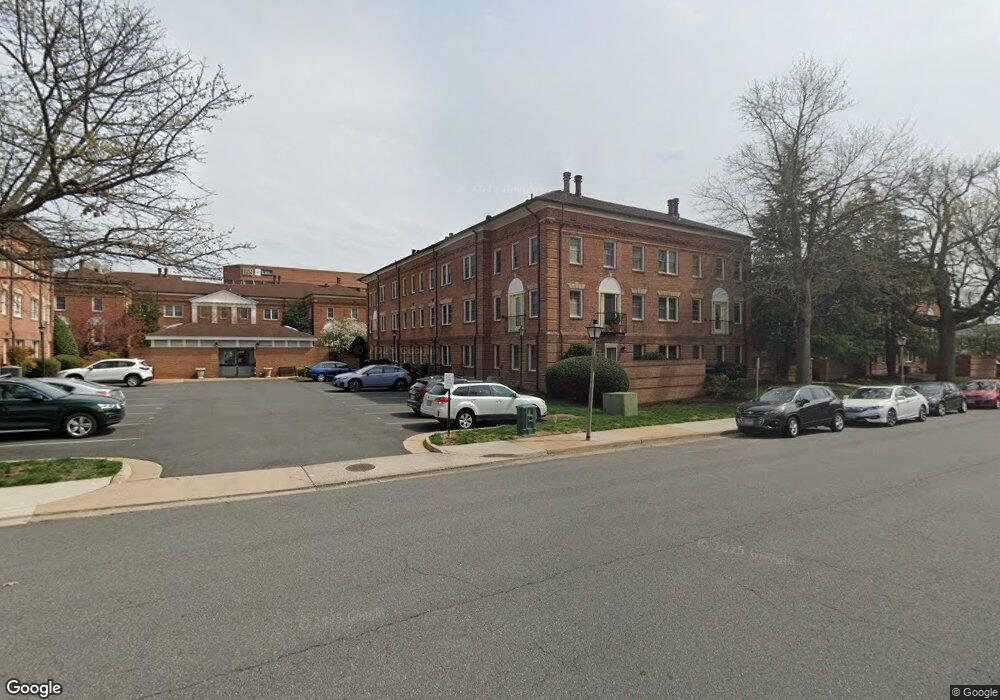
1113 N Pitt St Unit 1B Alexandria, VA 22314
Old Town NeighborhoodEstimated Value: $408,000 - $446,000
1
Bed
1
Bath
624
Sq Ft
$684/Sq Ft
Est. Value
About This Home
This home is located at 1113 N Pitt St Unit 1B, Alexandria, VA 22314 and is currently estimated at $426,909, approximately $684 per square foot. 1113 N Pitt St Unit 1B is a home located in Alexandria City with nearby schools including Jefferson-Houston Elementary School, Alexandria City High School, and Potomac Crescent Waldorf School.
Ownership History
Date
Name
Owned For
Owner Type
Purchase Details
Closed on
Jul 1, 2008
Sold by
Riley Cheryl
Bought by
Patrick Nan Wynne
Current Estimated Value
Home Financials for this Owner
Home Financials are based on the most recent Mortgage that was taken out on this home.
Original Mortgage
$287,200
Outstanding Balance
$184,717
Interest Rate
6.01%
Mortgage Type
New Conventional
Estimated Equity
$242,192
Purchase Details
Closed on
Jul 29, 2005
Sold by
Gueble Bruce Francis
Bought by
Riley Cheryl
Home Financials for this Owner
Home Financials are based on the most recent Mortgage that was taken out on this home.
Original Mortgage
$268,000
Interest Rate
5.63%
Mortgage Type
New Conventional
Create a Home Valuation Report for This Property
The Home Valuation Report is an in-depth analysis detailing your home's value as well as a comparison with similar homes in the area
Home Values in the Area
Average Home Value in this Area
Purchase History
| Date | Buyer | Sale Price | Title Company |
|---|---|---|---|
| Patrick Nan Wynne | $359,000 | -- | |
| Riley Cheryl | $335,000 | -- |
Source: Public Records
Mortgage History
| Date | Status | Borrower | Loan Amount |
|---|---|---|---|
| Open | Patrick Nan Wynne | $287,200 | |
| Previous Owner | Riley Cheryl | $268,000 |
Source: Public Records
Tax History Compared to Growth
Tax History
| Year | Tax Paid | Tax Assessment Tax Assessment Total Assessment is a certain percentage of the fair market value that is determined by local assessors to be the total taxable value of land and additions on the property. | Land | Improvement |
|---|---|---|---|---|
| 2025 | $4,445 | $398,720 | $157,270 | $241,450 |
| 2024 | $4,445 | $383,804 | $151,221 | $232,583 |
| 2023 | $4,139 | $372,926 | $146,817 | $226,109 |
| 2022 | $4,139 | $372,926 | $146,817 | $226,109 |
| 2021 | $3,876 | $349,202 | $137,212 | $211,990 |
| 2020 | $3,782 | $339,031 | $133,215 | $205,816 |
| 2019 | $3,654 | $323,363 | $126,872 | $196,491 |
| 2018 | $3,654 | $323,363 | $126,872 | $196,491 |
| 2017 | $3,551 | $314,236 | $123,177 | $191,059 |
| 2016 | $3,274 | $305,111 | $114,052 | $191,059 |
| 2015 | $3,314 | $317,706 | $114,052 | $203,654 |
| 2014 | $3,314 | $317,706 | $114,052 | $203,654 |
Source: Public Records
Map
Nearby Homes
- 1205 N Pitt St Unit 3C
- 320 Third St
- 313 Hearthstone Mews
- 1201 N Royal St Unit 215
- 500 Bashford Ln Unit 3321
- 504 Bashford Ln Unit 3131
- 1117 E Abingdon Dr Unit ELEVATOR
- 1117 E Abingdon Dr
- 1023 N Royal St Unit 203
- 1023 N Royal St Unit 109
- 529 Bashford Ln Unit 1
- 610 Bashford Ln Unit 1301
- 988 N Royal St
- 635 First St Unit 404
- 925 N Fairfax St Unit 104
- 925 N Fairfax St Unit 102
- 925 N Fairfax St Unit 405
- 925 N Fairfax St Unit 1203
- 801 N Pitt St Unit 401
- 801 N Pitt St Unit 1006
- 1115 N Pitt St Unit 2A
- 1115 N Pitt St Unit 1A
- 1115 N Pitt St Unit 2B
- 1115 N Pitt St Unit 3C
- 1113 N Pitt St Unit 3C
- 1113 N Pitt St Unit 2C
- 1113 N Pitt St Unit 3A
- 1115 N Pitt St Unit 3B
- 1113 N Pitt St Unit 3B
- 1115 N Pitt St Unit 2C
- 1113 N Pitt St Unit 1C
- 1115 N Pitt St Unit 1C
- 1115 N Pitt St Unit 1B
- 1113 N Pitt St Unit 2B
- 1113 N Pitt St Unit 2A
- 1115 N Pitt St
- 1113 N Pitt St Unit 1C
- 1107 N Pitt St Unit 3C
- 1105 N Pitt St Unit 2C
- 1107 N Pitt St Unit 3A