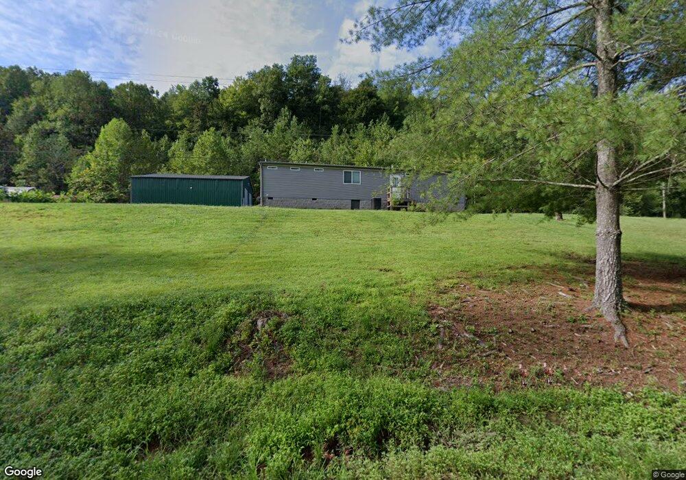
1113 Pawpaw Rd Manchester, KY 40962
Estimated Value: $145,000 - $166,000
4
Beds
3
Baths
1,428
Sq Ft
$109/Sq Ft
Est. Value
About This Home
This home is located at 1113 Pawpaw Rd, Manchester, KY 40962 and is currently estimated at $155,339, approximately $108 per square foot. 1113 Pawpaw Rd is a home located in Clay County with nearby schools including Clay County High School.
Ownership History
Date
Name
Owned For
Owner Type
Purchase Details
Closed on
Dec 28, 2022
Sold by
Duff Ronnie
Bought by
Duff Ronnie and Duff Gracie Louise
Current Estimated Value
Purchase Details
Closed on
Dec 17, 2020
Sold by
Craft Robert and Craft Kimberly
Bought by
Duff Ronnie and Duff Gracie L
Purchase Details
Closed on
Dec 27, 2011
Sold by
Hagen Ray and Hagen Veronica
Bought by
Craft Robert and Craft Kimberly
Home Financials for this Owner
Home Financials are based on the most recent Mortgage that was taken out on this home.
Original Mortgage
$121,246
Interest Rate
4.25%
Mortgage Type
FHA
Create a Home Valuation Report for This Property
The Home Valuation Report is an in-depth analysis detailing your home's value as well as a comparison with similar homes in the area
Home Values in the Area
Average Home Value in this Area
Purchase History
| Date | Buyer | Sale Price | Title Company |
|---|---|---|---|
| Duff Ronnie | -- | -- | |
| Duff Ronnie | $12,500 | None Available | |
| Craft Robert | $124,400 | None Available |
Source: Public Records
Mortgage History
| Date | Status | Borrower | Loan Amount |
|---|---|---|---|
| Previous Owner | Craft Robert | $121,246 |
Source: Public Records
Tax History Compared to Growth
Tax History
| Year | Tax Paid | Tax Assessment Tax Assessment Total Assessment is a certain percentage of the fair market value that is determined by local assessors to be the total taxable value of land and additions on the property. | Land | Improvement |
|---|---|---|---|---|
| 2024 | $826 | $69,100 | $0 | $0 |
| 2023 | $824 | $69,100 | $0 | $0 |
| 2022 | $816 | $69,100 | $0 | $0 |
| 2021 | $148 | $12,500 | $0 | $0 |
| 2020 | $117 | $10,000 | $0 | $0 |
| 2019 | $116 | $0 | $0 | $0 |
| 2018 | $114 | $10,000 | $0 | $0 |
| 2017 | $113 | $0 | $0 | $0 |
| 2016 | $1,334 | $0 | $0 | $0 |
| 2015 | $639 | $0 | $0 | $0 |
| 2014 | $639 | $0 | $0 | $0 |
| 2013 | $639 | $0 | $0 | $0 |
Source: Public Records
Map
Nearby Homes
- 198 Crawford Isom Rd
- 9999 Toby Rd
- 9999 Toby Rd Unit Lot 4
- 0 Hooker Rd
- 215 Colony Rd
- 497 Hooker Rd
- 31, 32, 33 Justice Dr
- 9999 S Highway 11
- 85 Blackwell Dr
- 239 Railroad Ave
- 1 Kentucky 11
- 8549 Us Highway 421
- 2251 U S 421
- 2370 Highway 80
- 102 Locust St
- 00 Hwy 421 Richmond Rd
- 111 House Ave
- 0 Kentucky 11
- 307 River St
- 9999 Memorial Dr
- 1199 Pawpaw Rd
- 1153 Pawpaw Rd
- 1006 Pawpaw Rd
- 1767 Pawpaw Rd
- 1248 Pawpaw Rd
- 808 Pawpaw Rd
- 891 Pawpaw Rd
- 111 Vista & Yeager Branch Rd
- 21a Vista Rd
- 1378 Pawpaw Rd
- 1253 Pawpaw Rd
- 1621 Pawpaw Rd
- 1383 Pawpaw Rd
- 1679 Pawpaw Rd
- 1543 Pawpaw Rd
- 1577 Pawpaw Rd
- 1745 Pawpaw Rd
- 1762 Pawpaw Rd
- 247 Goodman Rd
- 304 Goodman