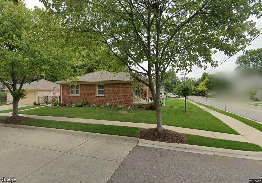
1113 S Harvey St Unit Bldg-Unit Plymouth, MI 48170
Estimated Value: $424,000 - $615,000
3
Beds
2
Baths
1,160
Sq Ft
$420/Sq Ft
Est. Value
About This Home
This home is located at 1113 S Harvey St Unit Bldg-Unit, Plymouth, MI 48170 and is currently estimated at $486,816, approximately $419 per square foot. 1113 S Harvey St Unit Bldg-Unit is a home located in Wayne County with nearby schools including Canton High School, Smith Elementary School, and West Middle School.
Ownership History
Date
Name
Owned For
Owner Type
Purchase Details
Closed on
Feb 22, 2013
Sold by
Dawson Thomas Gregory and Dawson Rhonda Lee
Bought by
Kims Three Llc
Current Estimated Value
Purchase Details
Closed on
Jan 5, 2011
Sold by
Perlongo Pauline F
Bought by
Dawson Rhonda Lee
Purchase Details
Closed on
Nov 1, 2002
Sold by
Perlongo Joseph
Bought by
Perlongo Joseph
Create a Home Valuation Report for This Property
The Home Valuation Report is an in-depth analysis detailing your home's value as well as a comparison with similar homes in the area
Home Values in the Area
Average Home Value in this Area
Purchase History
| Date | Buyer | Sale Price | Title Company |
|---|---|---|---|
| Kims Three Llc | $187,500 | None Available | |
| Dawson Rhonda Lee | -- | None Available | |
| Perlongo Joseph | -- | -- |
Source: Public Records
Tax History Compared to Growth
Tax History
| Year | Tax Paid | Tax Assessment Tax Assessment Total Assessment is a certain percentage of the fair market value that is determined by local assessors to be the total taxable value of land and additions on the property. | Land | Improvement |
|---|---|---|---|---|
| 2025 | $8,133 | $205,400 | $0 | $0 |
| 2024 | $8,133 | $188,600 | $0 | $0 |
| 2023 | $7,864 | $169,000 | $0 | $0 |
| 2022 | $8,065 | $157,900 | $0 | $0 |
| 2021 | $7,812 | $156,400 | $0 | $0 |
| 2020 | $7,766 | $147,400 | $0 | $0 |
| 2019 | $7,069 | $143,700 | $0 | $0 |
| 2018 | $6,877 | $145,200 | $0 | $0 |
| 2017 | $992 | $145,900 | $0 | $0 |
| 2016 | $7,232 | $139,000 | $0 | $0 |
| 2015 | $11,684 | $123,230 | $0 | $0 |
| 2013 | $9,991 | $104,430 | $0 | $0 |
| 2011 | -- | $95,000 | $0 | $0 |
Source: Public Records
Map
Nearby Homes
- 844 Ross St
- 1078 Simpson St
- 1125 Sutherland St
- 1338 S Harvey St
- 775 Deer Ct Unit 104
- 770 Deer St Unit 204
- 1199 S Sheldon Rd
- 638 S Harvey St
- 9405 Northern Ave
- 543 Deer St
- 9453 Brookline Ave
- 660 Maple St
- 636 Maple St
- 644 Maple St
- 628 Maple St
- 668 Maple St
- 44571 Clare Blvd
- 9264 Brookline Ave
- 9205 Rocker Ave
- 525 W Ann Arbor Trail
- 1113 S Harvey St
- 1133 S Harvey St
- 1101 S Harvey St
- 955 Hartsough St
- 1134 S Harvey St
- 958 Ross St
- 1102 S Harvey St
- 990 Ross St
- 970 Ross St
- 1150 S Harvey St
- 978 Hartsough St
- 992 Hartsough St
- 962 Hartsough St
- 936 Ross St
- 1174 S Harvey St
- 917 Hartsough St Unit Bldg-Unit
- 917 Hartsough St
- 948 Hartsough St
- 1094 S Harvey St
- 934 Hartsough St