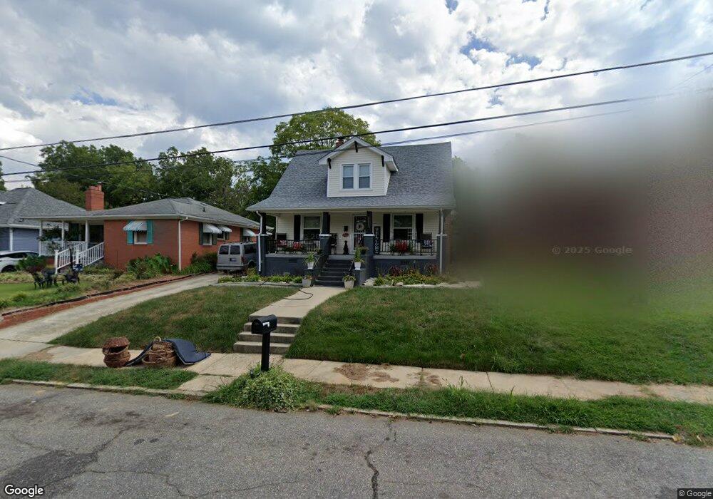
1113 Tipton St High Point, NC 27262
Greater High Point NeighborhoodEstimated Value: $163,000 - $183,000
3
Beds
1
Bath
1,438
Sq Ft
$123/Sq Ft
Est. Value
About This Home
This home is located at 1113 Tipton St, High Point, NC 27262 and is currently estimated at $176,763, approximately $122 per square foot. 1113 Tipton St is a home located in Guilford County with nearby schools including Northwood Elementary School, Ferndale Middle School, and High Point Central High School.
Ownership History
Date
Name
Owned For
Owner Type
Purchase Details
Closed on
Jan 8, 2025
Sold by
Manning Bobby and Manning Stephanie
Bought by
Manning Bobby and Manning Stephanie
Current Estimated Value
Purchase Details
Closed on
Apr 16, 1996
Bought by
Manning Bobby
Create a Home Valuation Report for This Property
The Home Valuation Report is an in-depth analysis detailing your home's value as well as a comparison with similar homes in the area
Home Values in the Area
Average Home Value in this Area
Purchase History
| Date | Buyer | Sale Price | Title Company |
|---|---|---|---|
| Manning Bobby | -- | None Listed On Document | |
| Manning Bobby | $46,000 | -- |
Source: Public Records
Tax History Compared to Growth
Tax History
| Year | Tax Paid | Tax Assessment Tax Assessment Total Assessment is a certain percentage of the fair market value that is determined by local assessors to be the total taxable value of land and additions on the property. | Land | Improvement |
|---|---|---|---|---|
| 2025 | $1,020 | $80,000 | $18,000 | $62,000 |
| 2024 | $1,020 | $74,000 | $12,000 | $62,000 |
| 2023 | $1,020 | $74,000 | $12,000 | $62,000 |
| 2022 | $998 | $74,000 | $12,000 | $62,000 |
| 2021 | $940 | $68,200 | $8,000 | $60,200 |
| 2020 | $940 | $68,200 | $8,000 | $60,200 |
| 2019 | $940 | $68,200 | $0 | $0 |
| 2018 | $935 | $68,200 | $0 | $0 |
| 2017 | $940 | $68,200 | $0 | $0 |
| 2016 | $980 | $69,900 | $0 | $0 |
| 2015 | $986 | $69,900 | $0 | $0 |
| 2014 | $1,002 | $69,900 | $0 | $0 |
Source: Public Records
Map
Nearby Homes
- 1307 Tipton St
- 209 Kennedy Ave
- 1102 Campbell St
- 707 Kennedy Ave
- 113 Edgeworth St
- 3637 Hobart Place
- 810 Ferndale Blvd
- 207 N Rotary Dr Unit A
- 421 Gatewood Ave
- 1007 Kings Arms Ct
- 601 W Westwood Ave
- 1011 Ferndale Blvd
- 317 W High Ave Unit 15A
- 525 Amos St
- 1007 N Rotary Dr
- 527 Amos St
- 523 Cross St
- 328 Ennis St
- 703 Langford Ave
- 609 Cross St