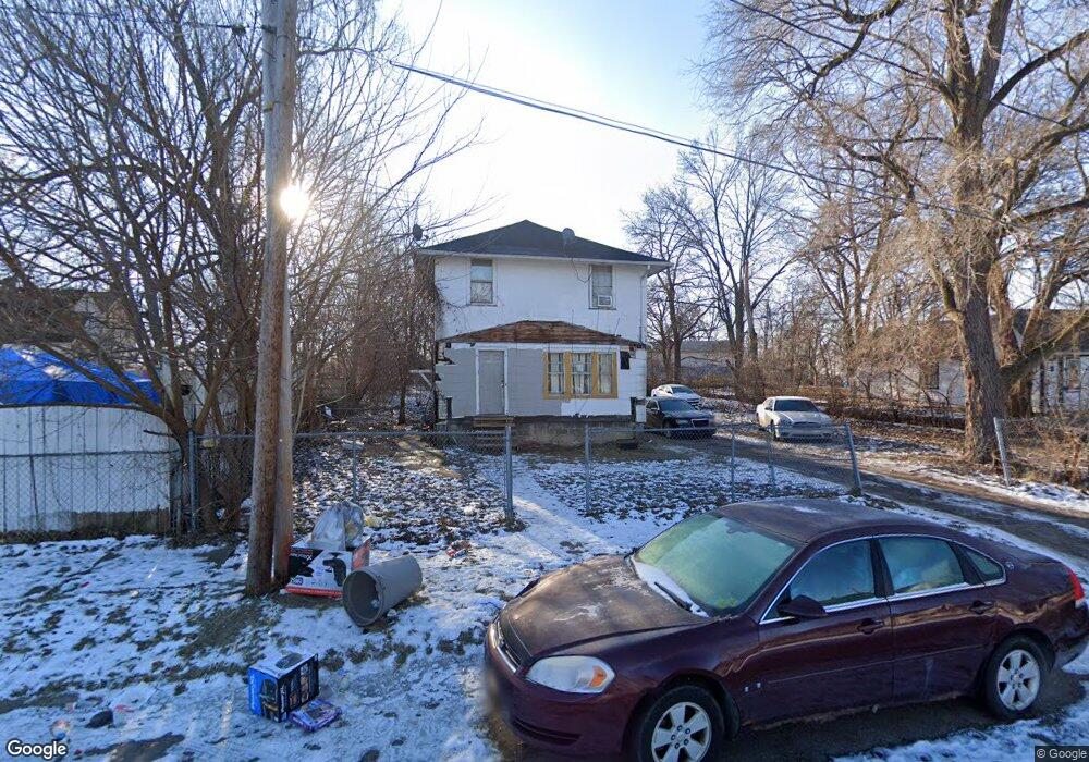
1113 W 8th Ave Flint, MI 48504
Downtown Flint NeighborhoodEstimated Value: $49,000 - $83,000
3
Beds
1
Bath
1,263
Sq Ft
$51/Sq Ft
Est. Value
About This Home
This home is located at 1113 W 8th Ave, Flint, MI 48504 and is currently estimated at $64,915, approximately $51 per square foot. 1113 W 8th Ave is a home located in Genesee County with nearby schools including Durant-Tuuri-Mott Elementary School, St John Vianney Catholic School, and St. Paul Lutheran School.
Ownership History
Date
Name
Owned For
Owner Type
Purchase Details
Closed on
Feb 25, 2011
Sold by
Byrd Melvin
Bought by
Waters April
Current Estimated Value
Purchase Details
Closed on
Sep 9, 2009
Sold by
Donovan Shaun
Bought by
Byrd Melvin
Purchase Details
Closed on
Apr 13, 2009
Sold by
Countrywide Home Loans Inc
Bought by
The Secretary Of Housing & Urban Develop
Purchase Details
Closed on
Sep 27, 2006
Sold by
Jenkins Langus J and Scarbrough Shannon M
Bought by
Countrywide Home Loans Inc
Purchase Details
Closed on
Jul 30, 1999
Sold by
Bontrager J
Bought by
Jenkins Langus J and Scarbrough Shannon M
Create a Home Valuation Report for This Property
The Home Valuation Report is an in-depth analysis detailing your home's value as well as a comparison with similar homes in the area
Home Values in the Area
Average Home Value in this Area
Purchase History
| Date | Buyer | Sale Price | Title Company |
|---|---|---|---|
| Waters April | -- | None Available | |
| Byrd Melvin | $2,000 | None Available | |
| The Secretary Of Housing & Urban Develop | -- | None Available | |
| Countrywide Home Loans Inc | $47,171 | None Available | |
| Jenkins Langus J | $42,000 | -- |
Source: Public Records
Tax History
| Year | Tax Paid | Tax Assessment Tax Assessment Total Assessment is a certain percentage of the fair market value that is determined by local assessors to be the total taxable value of land and additions on the property. | Land | Improvement |
|---|---|---|---|---|
| 2025 | $652 | $21,900 | $0 | $0 |
| 2024 | $602 | $19,500 | $0 | $0 |
| 2023 | $598 | $18,200 | $0 | $0 |
| 2022 | $0 | $15,400 | $0 | $0 |
| 2021 | $614 | $13,600 | $0 | $0 |
| 2020 | $566 | $11,500 | $0 | $0 |
| 2019 | $559 | $9,200 | $0 | $0 |
| 2018 | $852 | $7,900 | $0 | $0 |
| 2017 | $2,015 | $0 | $0 | $0 |
| 2016 | $365 | $0 | $0 | $0 |
| 2015 | -- | $0 | $0 | $0 |
| 2014 | -- | $0 | $0 | $0 |
| 2012 | -- | $8,000 | $0 | $0 |
Source: Public Records
Map
Nearby Homes
- 1025 Frost St
- 1016 Dupont St
- 1409 Prospect St
- 1900 Cadillac St
- 1717 Wolcott St
- 913 Perry St
- 2023 Cadillac St
- 751 Dupont St
- 2026 Monteith St
- 2001 Mackin Rd
- 971 N Chevrolet Ave
- 2410 Sloan St
- 407 W 2nd Ave
- 416 W 2nd Ave Unit 4
- 2008 University Ave
- 825 Frank St
- 1016 Garland St
- 2513 Tiffin St
- 2602 Sloan St
- 1645 Seminole St
- 1125 W 8th Ave
- 1026 Frost St
- 1127 W 8th Ave
- 1031 Stevenson St
- 1035 Stevenson St
- 1039 Stevenson St
- 1027 Stevenson St
- 1024 Frost St
- 1023 Stevenson St
- 1034 Frost St
- 1112 W 8th Ave
- 1116 W 8th Ave
- 1118 W 8th Ave
- 1128 W 8th Ave
- 1122 W 8th Ave
- 1018 Frost St
- 1015 Stevenson St
- 1101 Stevenson St
- 1011 Stevenson St
- 1030 Stevenson St
Your Personal Tour Guide
Ask me questions while you tour the home.