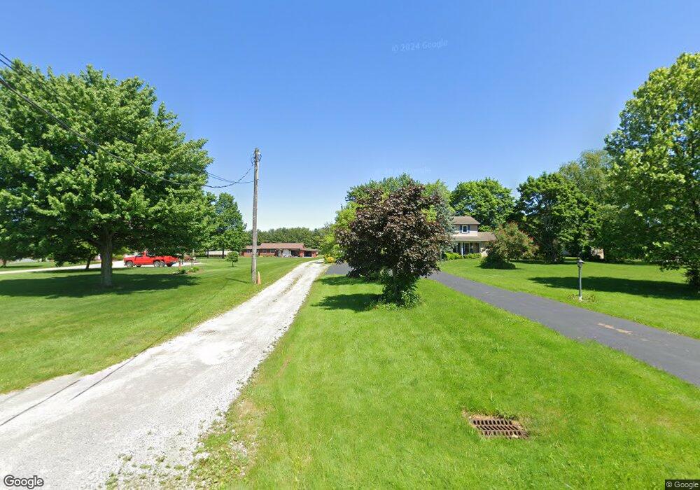
11135 Rapp Rd New Middletown, OH 44442
Estimated Value: $424,168 - $564,000
4
Beds
3
Baths
2,938
Sq Ft
$163/Sq Ft
Est. Value
About This Home
This home is located at 11135 Rapp Rd, New Middletown, OH 44442 and is currently estimated at $477,792, approximately $162 per square foot. 11135 Rapp Rd is a home located in Mahoning County with nearby schools including Springfield Elementary School, Springfield Intermediate Middle School, and Springfield High School.
Ownership History
Date
Name
Owned For
Owner Type
Purchase Details
Closed on
Apr 15, 2022
Sold by
Dearing Anita R
Bought by
Richard H Dearing Revocable Living Trust and Dearing
Current Estimated Value
Purchase Details
Closed on
Apr 11, 2003
Sold by
Rachic Sylvester J
Bought by
Dearing Anita R
Home Financials for this Owner
Home Financials are based on the most recent Mortgage that was taken out on this home.
Original Mortgage
$82,000
Interest Rate
5.16%
Purchase Details
Closed on
Feb 25, 2003
Sold by
Rachic Marilyn A and Skripac Helen
Bought by
Rachic Sylvester J
Home Financials for this Owner
Home Financials are based on the most recent Mortgage that was taken out on this home.
Original Mortgage
$82,000
Interest Rate
5.16%
Purchase Details
Closed on
Jan 8, 1979
Bought by
Rachic Sylvester J
Create a Home Valuation Report for This Property
The Home Valuation Report is an in-depth analysis detailing your home's value as well as a comparison with similar homes in the area
Home Values in the Area
Average Home Value in this Area
Purchase History
| Date | Buyer | Sale Price | Title Company |
|---|---|---|---|
| Richard H Dearing Revocable Living Trust | -- | -- | |
| Dearing Anita R | $190,000 | -- | |
| Rachic Sylvester J | -- | -- | |
| Rachic Sylvester J | -- | -- |
Source: Public Records
Mortgage History
| Date | Status | Borrower | Loan Amount |
|---|---|---|---|
| Previous Owner | Dearing Anita R | $82,000 |
Source: Public Records
Tax History Compared to Growth
Tax History
| Year | Tax Paid | Tax Assessment Tax Assessment Total Assessment is a certain percentage of the fair market value that is determined by local assessors to be the total taxable value of land and additions on the property. | Land | Improvement |
|---|---|---|---|---|
| 2024 | $5,119 | $123,870 | $11,670 | $112,200 |
| 2023 | $5,034 | $123,870 | $11,670 | $112,200 |
| 2022 | $4,366 | $96,440 | $11,670 | $84,770 |
| 2021 | $4,399 | $96,440 | $11,670 | $84,770 |
| 2020 | $4,423 | $96,440 | $11,670 | $84,770 |
| 2019 | $4,091 | $86,030 | $11,670 | $74,360 |
| 2018 | $4,042 | $86,030 | $11,670 | $74,360 |
| 2017 | $4,039 | $86,030 | $11,670 | $74,360 |
| 2016 | $3,804 | $80,100 | $11,250 | $68,850 |
| 2015 | $3,703 | $80,100 | $11,250 | $68,850 |
| 2014 | $3,434 | $73,910 | $11,250 | $62,660 |
| 2013 | $2,895 | $62,820 | $11,250 | $51,570 |
Source: Public Records
Map
Nearby Homes
- 5589 Middletown Rd E
- 5272 Middletown Rd E
- 6338 E South Range Rd
- 10901 Main St
- 11.61 acres Stateline Rd
- 42 Sycamore Dr
- 0 Youngstown - Pittsburgh Rd Unit 5110475
- 151 Crum Rd
- 9897 Struthers Rd
- 2 Sandy Dr
- 5541 E Calla Rd
- 4940 E Calla Rd
- 0 Meadowbrook Dr Unit 5110501
- 170 Sandy Ct Unit 11
- 0 Sandy Ct Unit 5110511
- 10115 Carrie Ct
- 10105 Carrie Ct
- 4035 Shelly Lynn Dr
- 4025 Shelly Lynn Dr
- 9 W Fairview Ave
- 11105 Rapp Rd
- 11169 Rapp Rd
- 11209 Rapp Rd
- 11108 Rapp Rd
- 11075 Rapp Rd
- 11090 Rapp Rd
- 11047 Rapp Rd
- 6055 Middletown Rd
- 6095 Middletown Rd
- 6167 Middletown Rd
- 6255 Middletown Rd
- 11405 Rapp Rd
- 6280 Middletown Rd
- 5808 Middletown Rd E
- 6122 Middletown Rd
- 6300 Middletown Rd
- 10281 Carrie Dr
- 10257 Carrie Dr
- 10303 Carrie Dr
- 5784 Middletown Rd E